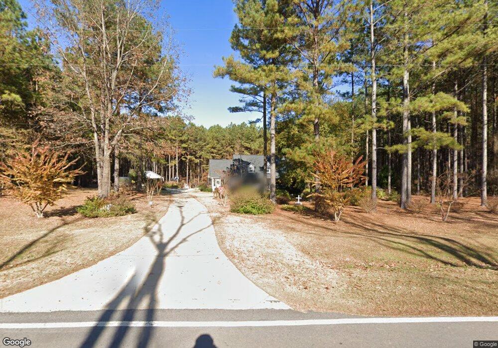
699 Johnson Rd Hogansville, GA 30230
Estimated Value: $256,000 - $401,000
3
Beds
2
Baths
1,754
Sq Ft
$190/Sq Ft
Est. Value
About This Home
This home is located at 699 Johnson Rd, Hogansville, GA 30230 and is currently estimated at $333,021, approximately $189 per square foot. 699 Johnson Rd is a home located in Troup County with nearby schools including Hogansville Elementary School, Callaway Elementary School, and Callaway Middle School.
Ownership History
Date
Name
Owned For
Owner Type
Purchase Details
Closed on
Nov 15, 2016
Sold by
Joann P
Bought by
Hubbard Samuel M and Hubbard Ellen W
Current Estimated Value
Purchase Details
Closed on
Feb 4, 2004
Sold by
Easement
Bought by
Hubbard Samuel M and Hubbard Ellen W
Purchase Details
Closed on
Oct 24, 2003
Sold by
Equity Trust Co Custodian
Bought by
Easement
Purchase Details
Closed on
Apr 13, 2003
Sold by
Mid Ohio Securities Corp
Bought by
Equity Trust Co Custodian
Purchase Details
Closed on
Dec 9, 2002
Sold by
Jesse D Magnan
Bought by
Mid Ohio Securities Corp
Create a Home Valuation Report for This Property
The Home Valuation Report is an in-depth analysis detailing your home's value as well as a comparison with similar homes in the area
Home Values in the Area
Average Home Value in this Area
Purchase History
| Date | Buyer | Sale Price | Title Company |
|---|---|---|---|
| Hubbard Samuel M | -- | -- | |
| Hubbard Samuel M | -- | -- | |
| Easement | $23,100 | -- | |
| Equity Trust Co Custodian | -- | -- | |
| Mid Ohio Securities Corp | $87,200 | -- |
Source: Public Records
Tax History Compared to Growth
Tax History
| Year | Tax Paid | Tax Assessment Tax Assessment Total Assessment is a certain percentage of the fair market value that is determined by local assessors to be the total taxable value of land and additions on the property. | Land | Improvement |
|---|---|---|---|---|
| 2024 | $2,561 | $119,160 | $23,400 | $95,760 |
| 2023 | $2,479 | $116,200 | $23,400 | $92,800 |
| 2022 | $2,428 | $112,280 | $23,400 | $88,880 |
| 2021 | $2,594 | $111,040 | $23,000 | $88,040 |
| 2020 | $2,592 | $111,040 | $23,000 | $88,040 |
| 2019 | $2,575 | $110,520 | $23,000 | $87,520 |
| 2018 | $2,333 | $102,560 | $23,000 | $79,560 |
| 2017 | $2,391 | $102,560 | $23,000 | $79,560 |
| 2016 | $2,589 | $87,828 | $10,002 | $77,826 |
| 2015 | $2,594 | $87,828 | $10,002 | $77,826 |
| 2014 | $2,244 | $76,134 | $10,002 | $66,132 |
| 2013 | -- | $79,405 | $10,002 | $69,403 |
Source: Public Records
Map
Nearby Homes
- 993 Glover Rd
- 243 Ralls Rd
- 221 Power Plant Rd
- 402 Power Plant Rd
- 717 N Boyd Rd
- GARDNER Plan at Huntcliff - Villages
- ESSEX Plan at Huntcliff - Villages
- DUPONT Plan at Huntcliff - Villages
- ROANOKE Plan at Huntcliff - Villages
- 618 Rifle Ridge
- 501 Sporting Dr
- 502 Sporting Dr
- 500 Sporting Dr
- 341 Foxtrot Trail
- 346 Foxtrot Trail
- 344 Foxtrot Trail
- 342 Foxtrot Trail
- 340 Foxtrot Trail
- 423 Coweta Heard Rd
- 225 Fox Chase Way
- 709 Johnson Rd
- 729 Johnson Rd
- 757 Johnson Rd
- 783 Johnson Rd
- 708 Johnson Rd
- 722 Johnson Rd Unit 2C
- 694 Johnson Rd
- 736 Johnson Rd Unit 2D
- 770 Johnson Rd
- 680 Johnson Rd
- 819 Johnson Rd
- 816 Johnson Rd
- 871 Johnson Rd
- 0 Johnson Rd Unit 7228393
- 0 Johnson Rd Unit 7596649
- 0 Johnson Rd Unit 8142462
- 0 Johnson Rd Unit 8909773
- 0 Johnson Rd Unit 8909581
- 0 Johnson Rd Unit 8774824
- 0 Johnson Rd Unit 2906815