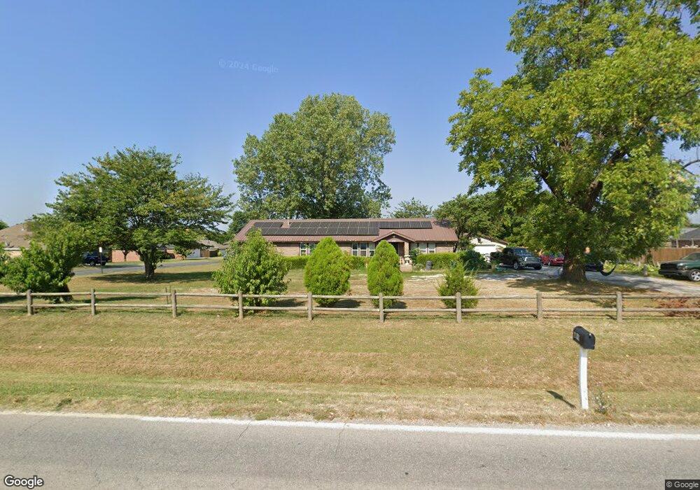
699 Main St Centerton, AR 72719
Estimated Value: $372,000 - $394,000
4
Beds
3
Baths
2,300
Sq Ft
$168/Sq Ft
Est. Value
About This Home
This home is located at 699 Main St, Centerton, AR 72719 and is currently estimated at $386,233, approximately $167 per square foot. 699 Main St is a home located in Benton County with nearby schools including Centerton Gamble Elementary School, Grimsley Junior High School, and Creekside Middle School.
Ownership History
Date
Name
Owned For
Owner Type
Purchase Details
Closed on
Nov 9, 2016
Sold by
Lemus Santos I
Bought by
Lemus Carlos A
Current Estimated Value
Purchase Details
Closed on
Mar 16, 2005
Sold by
Pitts Warren Scott and Pitts Rebecca Mae
Bought by
Lemus Carlos A and Lemus Santos I
Home Financials for this Owner
Home Financials are based on the most recent Mortgage that was taken out on this home.
Original Mortgage
$145,800
Interest Rate
5%
Mortgage Type
Adjustable Rate Mortgage/ARM
Purchase Details
Closed on
Oct 7, 2002
Bought by
Pitts
Create a Home Valuation Report for This Property
The Home Valuation Report is an in-depth analysis detailing your home's value as well as a comparison with similar homes in the area
Home Values in the Area
Average Home Value in this Area
Purchase History
| Date | Buyer | Sale Price | Title Company |
|---|---|---|---|
| Lemus Carlos A | -- | None Available | |
| Lemus Carlos A | $154,000 | None Available | |
| Pitts | $123,000 | -- |
Source: Public Records
Mortgage History
| Date | Status | Borrower | Loan Amount |
|---|---|---|---|
| Previous Owner | Lemus Carlos A | $145,800 |
Source: Public Records
Tax History
| Year | Tax Paid | Tax Assessment Tax Assessment Total Assessment is a certain percentage of the fair market value that is determined by local assessors to be the total taxable value of land and additions on the property. | Land | Improvement |
|---|---|---|---|---|
| 2025 | $2,395 | $59,616 | $15,000 | $44,616 |
| 2024 | $2,309 | $59,616 | $15,000 | $44,616 |
| 2023 | $2,200 | $40,710 | $7,600 | $33,110 |
| 2022 | $1,780 | $40,710 | $7,600 | $33,110 |
| 2021 | $1,665 | $40,710 | $7,600 | $33,110 |
| 2020 | $1,597 | $31,000 | $4,000 | $27,000 |
| 2019 | $1,595 | $31,000 | $4,000 | $27,000 |
| 2018 | $1,538 | $31,000 | $4,000 | $27,000 |
| 2017 | $1,456 | $31,000 | $4,000 | $27,000 |
| 2016 | $1,314 | $31,000 | $4,000 | $27,000 |
| 2015 | $1,592 | $25,810 | $4,000 | $21,810 |
| 2014 | $1,242 | $25,810 | $4,000 | $21,810 |
Source: Public Records
Map
Nearby Homes
- 2041 Tallgrass Terrace
- 571 Stoneseed St
- 2131 Periwinkle Place
- 561 Stoneseed St
- 101 Fox Run Cir
- 801 Pinoak St
- 676 Brimwood St
- 201 Cisterna Dr
- 201 Halleck Coach Rd
- Single Family Portfo Group 4
- Single Family Portfo Group 5
- Single Family Portfo
- 940 Moksha St
- 190 & 192 E 2nd St
- 392 N Main St
- 801 Walker St
- 741 Venice St
- 430 Trieste Dr
- 451 Coopers Farm Rd
- 961 Harvest St
Your Personal Tour Guide
Ask me questions while you tour the home.