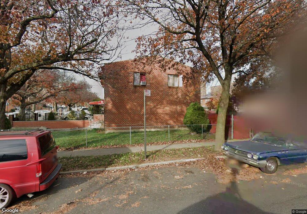
699 Mother Gaston Blvd Brooklyn, NY 11212
Brownsville NeighborhoodEstimated Value: $493,973 - $694,000
--
Bed
--
Bath
1,116
Sq Ft
$528/Sq Ft
Est. Value
About This Home
This home is located at 699 Mother Gaston Blvd, Brooklyn, NY 11212 and is currently estimated at $589,243, approximately $527 per square foot. 699 Mother Gaston Blvd is a home located in Kings County with nearby schools including P.S. 165 Ida Posner, P.S. 150 - Christopher, and P.S. 156 Waverly.
Ownership History
Date
Name
Owned For
Owner Type
Purchase Details
Closed on
Oct 20, 2023
Sold by
Ladson Simera
Bought by
Samuel Peter
Current Estimated Value
Purchase Details
Closed on
Sep 12, 2023
Sold by
Administrator Dennis Ladson and Estate Of Ollie Ladson
Bought by
Samuel Peter
Purchase Details
Closed on
May 13, 2023
Sold by
Ladson Kenneth and Ladson Kenneth
Bought by
Samuel Peter
Purchase Details
Closed on
Feb 28, 2023
Sold by
Ladson Dennis
Bought by
Samuel Peter
Purchase Details
Closed on
Aug 26, 2008
Sold by
Ladson Mose
Bought by
Ladson Kenneth and Ladson Ollie
Create a Home Valuation Report for This Property
The Home Valuation Report is an in-depth analysis detailing your home's value as well as a comparison with similar homes in the area
Home Values in the Area
Average Home Value in this Area
Purchase History
| Date | Buyer | Sale Price | Title Company |
|---|---|---|---|
| Samuel Peter | $10,000 | -- | |
| Samuel Peter | $10,000 | -- | |
| Samuel Peter | -- | -- | |
| Samuel Peter | -- | -- | |
| Samuel Peter | -- | -- | |
| Samuel Peter | $10,000 | -- | |
| Samuel Peter | $10,000 | -- | |
| Ladson Kenneth | -- | -- | |
| Ladson Kenneth | -- | -- |
Source: Public Records
Tax History Compared to Growth
Tax History
| Year | Tax Paid | Tax Assessment Tax Assessment Total Assessment is a certain percentage of the fair market value that is determined by local assessors to be the total taxable value of land and additions on the property. | Land | Improvement |
|---|---|---|---|---|
| 2025 | $4,278 | $33,360 | $11,160 | $22,200 |
| 2024 | $4,278 | $34,320 | $11,160 | $23,160 |
| 2023 | $4,309 | $36,120 | $11,160 | $24,960 |
| 2022 | $4,093 | $33,000 | $11,160 | $21,840 |
| 2021 | $4,196 | $31,620 | $11,160 | $20,460 |
| 2020 | $3,959 | $27,000 | $11,160 | $15,840 |
| 2019 | $3,713 | $27,000 | $11,160 | $15,840 |
| 2018 | $3,604 | $17,680 | $7,774 | $9,906 |
| 2017 | $3,483 | $17,085 | $10,218 | $6,867 |
| 2016 | $3,322 | $16,616 | $10,302 | $6,314 |
| 2015 | $1,944 | $15,676 | $8,616 | $7,060 |
| 2014 | $1,944 | $14,791 | $8,016 | $6,775 |
Source: Public Records
Map
Nearby Homes
- 546 Powell St
- 699 Sackman St
- 563 Powell St
- 797 Mother Gaston Blvd
- 533 Snediker Ave
- 440 Blake Ave
- 258 Lott Ave
- 406 Hinsdale St
- 555 Christopher Ave
- 442 Newport St
- 541 Hinsdale St
- 584 Hinsdale St
- 578 Christopher Ave
- 576 Williams Ave
- 578 Williams Ave
- 582 Williams Ave
- 587 Osborn St
- 589 Hinsdale St
- 504 Thatford Ave
- 524 Chester St
- 697 Mother Gaston Blvd
- 695 Mother Gaston Blvd
- 693 Mother Gaston Blvd
- 691 Mother Gaston Blvd
- 689 Mother Gaston Blvd
- 430 Christopher Ave
- 428 Christopher Ave
- 426 Christopher Ave
- 424 Christopher Ave
- 685 Mother Gaston Blvd
- 422 Christopher Ave
- 681 Mother Gaston Blvd
- 420 Christopher Ave
- 418 Christopher Ave
- 679 Mother Gaston Blvd
- 416 Christopher Ave
- 677 Mother Gaston Blvd
- 414 Christopher Ave
- 675 Mother Gaston Blvd
- 412 Christopher Ave