699 Mountain View Rd Carbondale, CO 81623
Estimated Value: $1,804,778 - $2,519,000
5
Beds
3
Baths
3,012
Sq Ft
$714/Sq Ft
Est. Value
About This Home
This home is located at 699 Mountain View Rd, Carbondale, CO 81623 and is currently estimated at $2,150,945, approximately $714 per square foot. 699 Mountain View Rd is a home located in Eagle County.
Ownership History
Date
Name
Owned For
Owner Type
Purchase Details
Closed on
May 24, 2006
Sold by
Rankin Darrell S and Rankin Dalene A
Bought by
Rankin Darrell S
Current Estimated Value
Home Financials for this Owner
Home Financials are based on the most recent Mortgage that was taken out on this home.
Original Mortgage
$559,000
Interest Rate
6.62%
Mortgage Type
Unknown
Purchase Details
Closed on
Dec 14, 1998
Sold by
Rankin Darrell S
Bought by
Rankin Dalene A and Rankin Darrell S
Home Financials for this Owner
Home Financials are based on the most recent Mortgage that was taken out on this home.
Original Mortgage
$223,000
Interest Rate
6.87%
Create a Home Valuation Report for This Property
The Home Valuation Report is an in-depth analysis detailing your home's value as well as a comparison with similar homes in the area
Home Values in the Area
Average Home Value in this Area
Purchase History
| Date | Buyer | Sale Price | Title Company |
|---|---|---|---|
| Rankin Darrell S | -- | None Available | |
| Rankin Dalene A | -- | Stewart Title |
Source: Public Records
Mortgage History
| Date | Status | Borrower | Loan Amount |
|---|---|---|---|
| Closed | Rankin Darrell S | $559,000 | |
| Closed | Rankin Dalene A | $223,000 |
Source: Public Records
Tax History Compared to Growth
Tax History
| Year | Tax Paid | Tax Assessment Tax Assessment Total Assessment is a certain percentage of the fair market value that is determined by local assessors to be the total taxable value of land and additions on the property. | Land | Improvement |
|---|---|---|---|---|
| 2024 | $8,015 | $107,670 | $25,510 | $82,160 |
| 2023 | $8,015 | $107,670 | $25,510 | $82,160 |
| 2022 | $4,668 | $58,080 | $13,870 | $44,210 |
| 2021 | $4,797 | $59,740 | $14,260 | $45,480 |
| 2020 | $4,484 | $58,620 | $14,260 | $44,360 |
| 2019 | $4,526 | $58,620 | $14,260 | $44,360 |
| 2018 | $4,471 | $57,360 | $16,630 | $40,730 |
| 2017 | $4,233 | $57,360 | $16,630 | $40,730 |
| 2016 | $4,367 | $58,130 | $15,040 | $43,090 |
| 2015 | -- | $58,130 | $15,040 | $43,090 |
| 2014 | $3,275 | $45,890 | $14,210 | $31,680 |
Source: Public Records
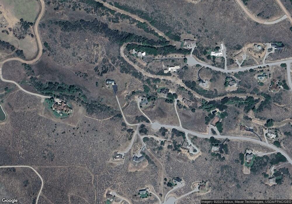
Map
Nearby Homes
- 220 Sam Grange Ct
- 445 Mountain View Rd
- 81 Mountain View Rd
- 450 Green Meadow Dr
- 0811 Green Meadow Dr
- TBD Spring Park Ridge
- 623 Fender Ln
- 369 Park Mesa
- 248 Basalt Mountain Dr
- TBD Harmony Ln
- 577 Fox Run Dr
- 960 County Road 102
- 379 Caballo St
- TBD Whitecloud Rd
- 14 Fender Ln
- 500 Whitecloud Rd
- Lot #9 Turnberry Ranch Panorama Dr
- 488 Skipper Dr
- Lot #5 Turnberry Ranch Panorama Dr
- 298 Black Bear Trail
- 661 Mountain View Rd
- 735 Mountain View Rd
- 615 Mountain View Rd
- 241 Sam Grange Ct
- 241 Sam Grange Ct
- 704 Mountain View Rd
- 269 Sam Grange Ct
- 610 Mountain View Rd
- 169 Sam Grange Ct
- 764 Mountain View Rd
- 270 Sam Grange Ct
- 325 Milburn Ct
- 554 Mountain View Rd
- 606 Park Meadows Ln
- 157 Sam Grange Ct
- 275 Milburn Ct
- 345 Milburn Ct
- 170 Sam Grange Ct
- 530 Mountain View Rd
- 245 Milburn Ct