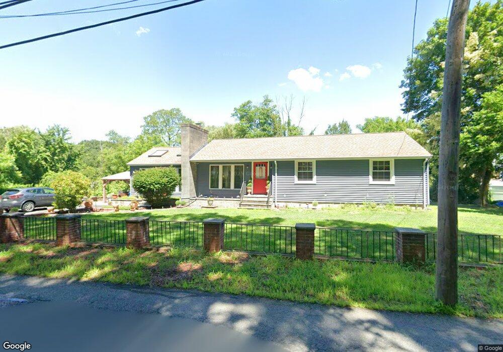
699 Rogers St Tewksbury, MA 01876
Estimated Value: $662,000 - $734,000
3
Beds
1
Bath
1,362
Sq Ft
$509/Sq Ft
Est. Value
About This Home
This home is located at 699 Rogers St, Tewksbury, MA 01876 and is currently estimated at $693,666, approximately $509 per square foot. 699 Rogers St is a home located in Middlesex County with nearby schools including John F. Ryan Elementary School, John W. Wynn Middle School, and Tewksbury Memorial High School.
Ownership History
Date
Name
Owned For
Owner Type
Purchase Details
Closed on
Sep 8, 2003
Sold by
Viveiros Jose M
Bought by
Viveiros Francesca P and Viveiros Jose M
Current Estimated Value
Purchase Details
Closed on
Dec 26, 1996
Sold by
Powers Daniel J and Powers Ann M
Bought by
Viveiros Jose M
Home Financials for this Owner
Home Financials are based on the most recent Mortgage that was taken out on this home.
Original Mortgage
$124,000
Interest Rate
7.55%
Mortgage Type
Purchase Money Mortgage
Purchase Details
Closed on
Aug 31, 1990
Sold by
Starling Sylvia H
Bought by
Powers Daniel J
Home Financials for this Owner
Home Financials are based on the most recent Mortgage that was taken out on this home.
Original Mortgage
$126,900
Interest Rate
9.85%
Mortgage Type
Purchase Money Mortgage
Create a Home Valuation Report for This Property
The Home Valuation Report is an in-depth analysis detailing your home's value as well as a comparison with similar homes in the area
Home Values in the Area
Average Home Value in this Area
Purchase History
| Date | Buyer | Sale Price | Title Company |
|---|---|---|---|
| Viveiros Francesca P | -- | -- | |
| Viveiros Jose M | $155,000 | -- | |
| Powers Daniel J | $140,000 | -- |
Source: Public Records
Mortgage History
| Date | Status | Borrower | Loan Amount |
|---|---|---|---|
| Previous Owner | Powers Daniel J | $100,000 | |
| Previous Owner | Powers Daniel J | $124,000 | |
| Previous Owner | Powers Daniel J | $126,900 |
Source: Public Records
Tax History Compared to Growth
Tax History
| Year | Tax Paid | Tax Assessment Tax Assessment Total Assessment is a certain percentage of the fair market value that is determined by local assessors to be the total taxable value of land and additions on the property. | Land | Improvement |
|---|---|---|---|---|
| 2025 | $7,730 | $584,700 | $287,800 | $296,900 |
| 2024 | $7,456 | $556,800 | $274,000 | $282,800 |
| 2023 | $7,355 | $521,600 | $249,200 | $272,400 |
| 2022 | $7,153 | $470,600 | $216,600 | $254,000 |
| 2021 | $5,113 | $435,700 | $197,200 | $238,500 |
| 2020 | $6,584 | $412,300 | $187,400 | $224,900 |
| 2019 | $6,569 | $414,700 | $178,500 | $236,200 |
| 2018 | $8,458 | $385,700 | $178,500 | $207,200 |
| 2017 | $5,846 | $358,400 | $178,500 | $179,900 |
| 2016 | $5,597 | $342,300 | $178,500 | $163,800 |
| 2015 | $5,253 | $320,900 | $173,100 | $147,800 |
| 2014 | $4,793 | $297,500 | $173,100 | $124,400 |
Source: Public Records
Map
Nearby Homes
- 251 Whipple Rd
- 31 Wells Dr
- 10 Babicz Rd
- 347 Astle St
- 9 Laurie Ann Ln
- 164 Astle St
- 86 Van Buren Rd
- 50 Arnold Ave
- 11 Mason Ave
- 357 Boylston St Unit 2
- 1 Lincoln Rd
- 30 Mckenna Dr Unit 30
- 8 Billerica Ave Extension Unit 14
- 106 Gorham St
- 117 Gorham St
- 6-8 Brick Kiln Rd
- 22 Juniper St
- 26 Sprague Ave
- 53 Gorham St
- 1199 Lawrence St
- 685 Rogers St
- 692 Rogers St
- 20 Harold Place
- 30 Harold Place
- 11 Heidenrich Dr
- 684 Rogers St
- 21 Harold Place
- 696 Rogers St
- 360 N Billerica Rd
- 348 N Billerica Rd
- 370 N Billerica Rd
- 20 Heidenrich Dr
- 21 Heidenrich Dr
- 31 Harold Place
- 338 N Billerica Rd
- 668 Rogers St
- 201 Heidenrich Dr
- 665 Rogers St
- 386 N Billerica Rd
- 31 Heidenrich Dr