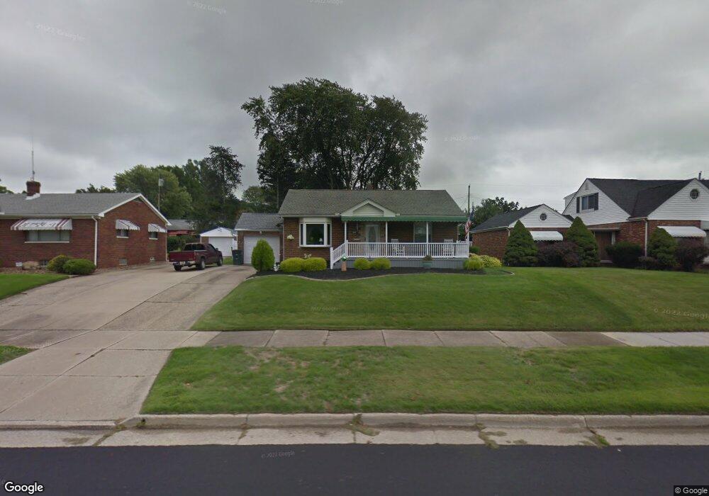
699 S Firestone Blvd Akron, OH 44301
Firestone Park NeighborhoodEstimated Value: $140,000 - $162,000
2
Beds
2
Baths
957
Sq Ft
$156/Sq Ft
Est. Value
About This Home
This home is located at 699 S Firestone Blvd, Akron, OH 44301 and is currently estimated at $149,628, approximately $156 per square foot. 699 S Firestone Blvd is a home located in Summit County with nearby schools including Kenmore Garfield Community Learning Center, Main Preparatory Academy, and Eagle Elementary.
Ownership History
Date
Name
Owned For
Owner Type
Purchase Details
Closed on
Dec 19, 1996
Sold by
Costa Michael J
Bought by
Michalak Donald S and Michalak Brenda
Current Estimated Value
Home Financials for this Owner
Home Financials are based on the most recent Mortgage that was taken out on this home.
Original Mortgage
$66,000
Interest Rate
7.74%
Mortgage Type
New Conventional
Purchase Details
Closed on
Aug 30, 1996
Sold by
James F Kordon Trst
Bought by
Costa Michael J and Costa Denise
Home Financials for this Owner
Home Financials are based on the most recent Mortgage that was taken out on this home.
Original Mortgage
$44,000
Interest Rate
7.25%
Mortgage Type
New Conventional
Create a Home Valuation Report for This Property
The Home Valuation Report is an in-depth analysis detailing your home's value as well as a comparison with similar homes in the area
Home Values in the Area
Average Home Value in this Area
Purchase History
| Date | Buyer | Sale Price | Title Company |
|---|---|---|---|
| Michalak Donald S | $82,500 | -- | |
| Costa Michael J | $55,000 | -- |
Source: Public Records
Mortgage History
| Date | Status | Borrower | Loan Amount |
|---|---|---|---|
| Closed | Michalak Donald S | $66,000 | |
| Previous Owner | Costa Michael J | $44,000 |
Source: Public Records
Tax History Compared to Growth
Tax History
| Year | Tax Paid | Tax Assessment Tax Assessment Total Assessment is a certain percentage of the fair market value that is determined by local assessors to be the total taxable value of land and additions on the property. | Land | Improvement |
|---|---|---|---|---|
| 2025 | $1,816 | $42,176 | $9,251 | $32,925 |
| 2024 | $1,816 | $42,176 | $9,251 | $32,925 |
| 2023 | $1,816 | $42,176 | $9,251 | $32,925 |
| 2022 | $1,553 | $30,650 | $6,703 | $23,947 |
| 2021 | $1,555 | $30,650 | $6,703 | $23,947 |
| 2020 | $1,532 | $30,650 | $6,700 | $23,950 |
| 2019 | $1,511 | $28,350 | $7,690 | $20,660 |
| 2018 | $1,347 | $26,880 | $6,220 | $20,660 |
| 2017 | $1,368 | $26,880 | $6,220 | $20,660 |
| 2016 | $1,369 | $26,880 | $6,220 | $20,660 |
| 2015 | $1,368 | $26,880 | $6,220 | $20,660 |
| 2014 | $1,357 | $26,880 | $6,220 | $20,660 |
| 2013 | $1,337 | $26,980 | $6,220 | $20,760 |
Source: Public Records
Map
Nearby Homes
- 739 S Firestone Blvd
- 1882 Gless Ave
- 1698 Sunset Ave
- 315 Clinton Ave
- 1699 Redwood Ave
- 1663 Sunset Ave
- 1731 Highview Ave
- 1708 Highview Ave
- 369 Mission Dr
- 1645 Hammel St
- 361 Mission Dr
- 1642 Highview Ave
- 1604 Oakwood Ave
- 1576 Hammel St
- 1614 Glenmount Ave
- 249 Naomi St
- 1571 Redwood Ave
- 0 Woodview Dr
- 676 E Catawba Ave
- 437 Palmetto Ave
- 707 S Firestone Blvd
- 693 S Firestone Blvd
- 1846 Carter Ave
- 1840 Carter Ave
- 1840 Carter Ave
- 708 S Firestone Blvd
- 687 S Firestone Blvd
- 681 S Firestone Blvd
- 706 S Firestone Blvd
- 393 E Woodsdale Ave
- 721 S Firestone Blvd
- 1824 Carter Ave
- 1860 Carter Ave
- 686 S Firestone Blvd
- 677 S Firestone Blvd
- 1822 Carter Ave
- 1837 Carter Ave
- 1847 Carter Ave
- 682 S Firestone Blvd
- 1868 Carter Ave Unit 1870