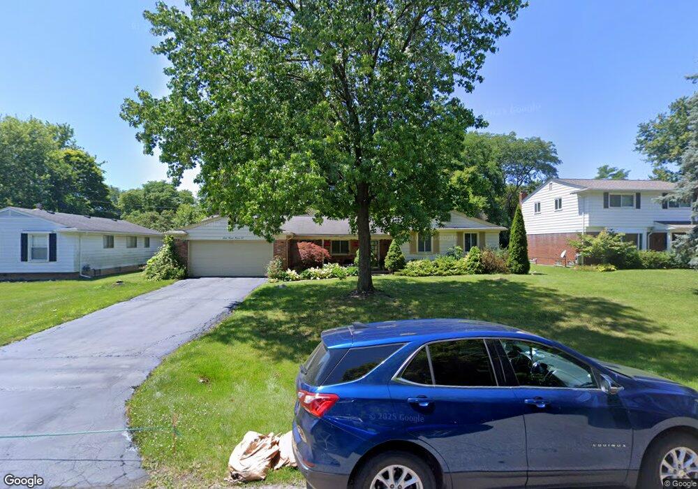
6990 Lee Crest Dr West Bloomfield, MI 48322
Estimated Value: $368,266 - $419,000
3
Beds
3
Baths
1,820
Sq Ft
$217/Sq Ft
Est. Value
About This Home
This home is located at 6990 Lee Crest Dr, West Bloomfield, MI 48322 and is currently estimated at $394,317, approximately $216 per square foot. 6990 Lee Crest Dr is a home located in Oakland County with nearby schools including Sheiko Elementary School, West Bloomfield Middle School, and Bloomfield Maples Montessori.
Ownership History
Date
Name
Owned For
Owner Type
Purchase Details
Closed on
Aug 1, 2008
Sold by
Esshaki Sabrina
Bought by
Sitrak Tariq and Sitrak Ameera
Current Estimated Value
Purchase Details
Closed on
Jul 11, 2008
Sold by
Hirsch Kevin B and Hirsch Sarah A
Bought by
Esshaki Sabrina
Purchase Details
Closed on
Nov 17, 2000
Sold by
Brand Mark
Bought by
Hirsch Kevin B
Home Financials for this Owner
Home Financials are based on the most recent Mortgage that was taken out on this home.
Original Mortgage
$165,000
Interest Rate
7.43%
Purchase Details
Closed on
Jun 6, 1997
Sold by
Kingston Ronald
Bought by
Brand Mark
Create a Home Valuation Report for This Property
The Home Valuation Report is an in-depth analysis detailing your home's value as well as a comparison with similar homes in the area
Home Values in the Area
Average Home Value in this Area
Purchase History
| Date | Buyer | Sale Price | Title Company |
|---|---|---|---|
| Sitrak Tariq | -- | None Available | |
| Esshaki Sabrina | $185,000 | Multiple | |
| Hirsch Kevin B | $221,000 | -- | |
| Brand Mark | $180,000 | -- |
Source: Public Records
Mortgage History
| Date | Status | Borrower | Loan Amount |
|---|---|---|---|
| Previous Owner | Hirsch Kevin B | $165,000 |
Source: Public Records
Tax History Compared to Growth
Tax History
| Year | Tax Paid | Tax Assessment Tax Assessment Total Assessment is a certain percentage of the fair market value that is determined by local assessors to be the total taxable value of land and additions on the property. | Land | Improvement |
|---|---|---|---|---|
| 2024 | $2,228 | $159,190 | $0 | $0 |
| 2022 | $2,134 | $133,620 | $35,240 | $98,380 |
| 2021 | $3,242 | $130,220 | $0 | $0 |
| 2020 | $2,091 | $129,260 | $35,240 | $94,020 |
| 2018 | $3,126 | $108,330 | $27,110 | $81,220 |
| 2015 | -- | $85,880 | $0 | $0 |
| 2014 | -- | $80,120 | $0 | $0 |
| 2011 | -- | $84,430 | $0 | $0 |
Source: Public Records
Map
Nearby Homes
- 7027 Beverly Crest Dr
- 6843 Leslee Crest Dr
- 6769 Heather Heath
- 7023 Wild Ridge Ln
- 6624 Mellow Wood Ln
- 7335 Coach Ln
- 7421 Heather Heath
- 6651 Hearthside Ct Unit 1
- 6621 Bellows Ct Unit 62
- 7477 Heather Heath
- 7251 N Briarcliff Knoll Dr
- 4392 Gateway Cir Unit 59
- 4161 Breckenridge Dr
- 6322 Pepper Hill St Unit 62
- 6222 Pepper Hill St
- 6564 Alderley Way
- 7431 N Briarcliff Knoll Dr
- 30515 W 14 Mile Rd Unit 30
- 30515 W 14 Mile Rd Unit 37
- 30475 W 14 Mile Rd Unit 80
- 6972 Lee Crest Dr
- 7004 Lee Crest Dr
- 6981 Beverly Crest Dr
- 6997 Beverly Crest Dr
- 6965 Beverly Crest Dr
- 6954 Lee Crest Dr
- 5604 Haymeadow Dr
- 7024 Lee Crest Dr
- 6969 Lee Crest Dr
- 6945 Beverly Crest Dr
- 5605 Haymeadow Dr
- 6932 Lee Crest Dr
- 6951 Lee Crest Dr
- 7072 Lee Crest Dr
- 6933 Beverly Crest Dr
- 7027 Lee Crest Dr
- 6993 Leslee Crest Dr
- 7049 Beverly Crest Dr
- 6929 Lee Crest Dr
- 6964 Beverly Crest Dr