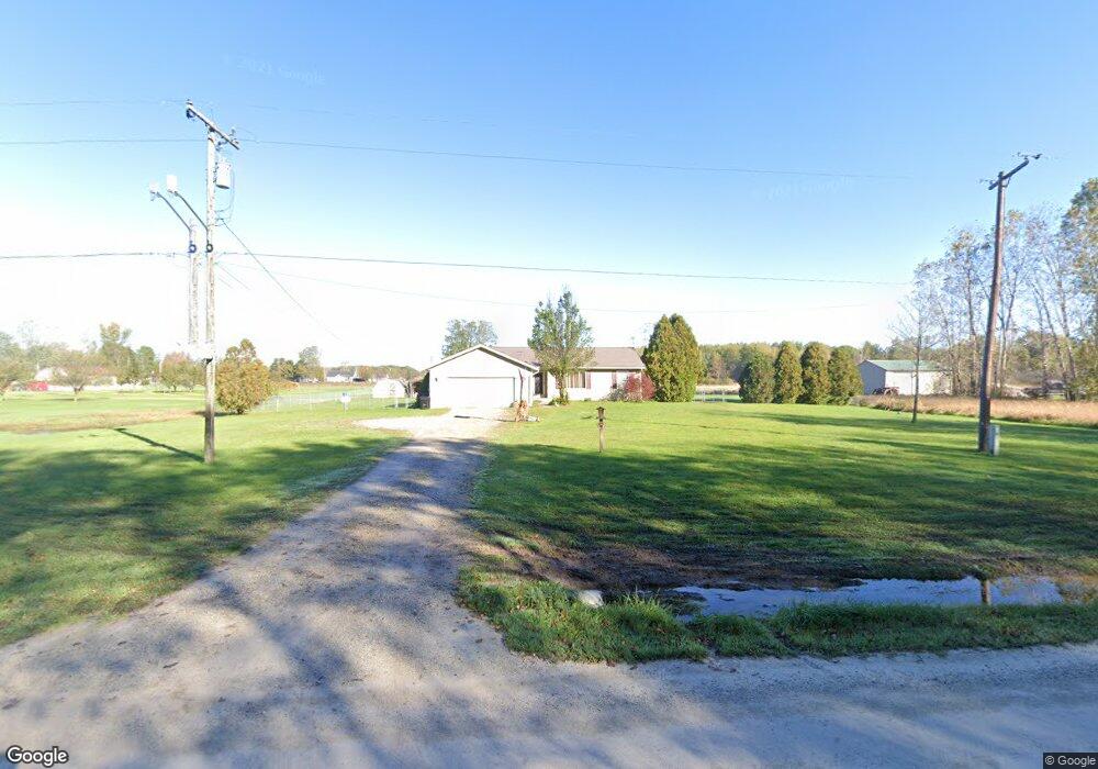
6990 Ravenswood Rd Kimball, MI 48074
Estimated Value: $195,000 - $271,782
3
Beds
2
Baths
1,167
Sq Ft
$210/Sq Ft
Est. Value
About This Home
This home is located at 6990 Ravenswood Rd, Kimball, MI 48074 and is currently estimated at $245,446, approximately $210 per square foot. 6990 Ravenswood Rd is a home located in St. Clair County with nearby schools including Marysville High School.
Ownership History
Date
Name
Owned For
Owner Type
Purchase Details
Closed on
Jul 15, 2016
Sold by
Miller Eugene Lyman and Miller Erin Renee
Bought by
Miller Erin Renee
Current Estimated Value
Purchase Details
Closed on
May 18, 2005
Sold by
Dossin Brian P
Bought by
Miller Eugene Lyman and Miller Erin Renee
Home Financials for this Owner
Home Financials are based on the most recent Mortgage that was taken out on this home.
Original Mortgage
$157,700
Outstanding Balance
$94,002
Interest Rate
8.15%
Mortgage Type
Adjustable Rate Mortgage/ARM
Estimated Equity
$151,444
Create a Home Valuation Report for This Property
The Home Valuation Report is an in-depth analysis detailing your home's value as well as a comparison with similar homes in the area
Home Values in the Area
Average Home Value in this Area
Purchase History
| Date | Buyer | Sale Price | Title Company |
|---|---|---|---|
| Miller Erin Renee | -- | None Available | |
| Miller Eugene Lyman | $166,000 | None Available |
Source: Public Records
Mortgage History
| Date | Status | Borrower | Loan Amount |
|---|---|---|---|
| Open | Miller Eugene Lyman | $157,700 |
Source: Public Records
Tax History Compared to Growth
Tax History
| Year | Tax Paid | Tax Assessment Tax Assessment Total Assessment is a certain percentage of the fair market value that is determined by local assessors to be the total taxable value of land and additions on the property. | Land | Improvement |
|---|---|---|---|---|
| 2025 | $2,116 | $118,800 | $0 | $0 |
| 2024 | $776 | $110,600 | $0 | $0 |
| 2023 | $739 | $103,700 | $0 | $0 |
| 2022 | $1,920 | $89,800 | $0 | $0 |
| 2021 | $1,687 | $78,800 | $0 | $0 |
| 2020 | $1,687 | $82,700 | $82,700 | $0 |
| 2019 | $1,656 | $77,600 | $0 | $0 |
| 2018 | $1,617 | $55,200 | $0 | $0 |
| 2017 | $1,584 | $60,300 | $0 | $0 |
| 2016 | $644 | $60,300 | $0 | $0 |
| 2015 | -- | $60,100 | $60,100 | $0 |
| 2014 | -- | $60,200 | $60,200 | $0 |
| 2013 | -- | $56,800 | $0 | $0 |
Source: Public Records
Map
Nearby Homes
- 1261 Sturdevant Rd
- 6928 Smiths Creek Rd
- 1533 Richman Rd
- 1371 Sturdevant Rd
- 355 Henry St
- 6417 Dove Rd
- 1688 Sturdevant Rd
- 1900 Burns Rd
- VL Lambs Rd
- 1671 Ditty Rd
- 0 Sparling Rd Unit 2210034403
- 8067 Lambs Rd
- 00 Griswold Rd
- 8237 Lambs Rd
- 7710 Sparling Rd
- 0 Sparling Unit 20230091288
- 1876 Morningstar Ave
- 2019 Edward Ln E
- I-69 vac Taylor Dr
- 5930 Gratiot Ave
- 1012 Richman Rd
- 6970 Ravenswood Rd
- 1036 Richman Rd
- 6969 Ravenswood Rd
- 0 Ravenswood Rd Unit 29103885
- 0 Ravenswood Rd Unit 210009713
- 0 Ravenswood Rd Unit 210009726
- 0 Ravenswood Rd Unit 212035470
- 00 Ravenswood Rd
- 0 Ravenswood Rd Unit 31350441
- 0 Ravenswood Rd Unit 218042047
- 0 Ravenswood Rd Unit 31328723
- 0 Ravenswood Rd Unit 4559399
- 0 Ravenswood Rd Unit 4558032
- 0 Ravenswood Rd Unit 4558031
- 0 Ravenswood Rd Unit 4916030
- 0 Ravenswood Rd Unit 4444205
- 0 Ravenswood Rd Unit 4920779
- 0 Ravenswood Rd Unit 4511273
- 0 Ravenswood Rd Unit 4515943