6993 Degood Rd Ostrander, OH 43061
Scioto NeighborhoodEstimated Value: $298,000 - $436,000
2
Beds
1
Bath
1,950
Sq Ft
$195/Sq Ft
Est. Value
About This Home
This home is located at 6993 Degood Rd, Ostrander, OH 43061 and is currently estimated at $379,642, approximately $194 per square foot. 6993 Degood Rd is a home located in Delaware County with nearby schools including Buckeye Valley High School.
Ownership History
Date
Name
Owned For
Owner Type
Purchase Details
Closed on
Dec 7, 2005
Sold by
Tagg Gary O and Tagg Patricia
Bought by
Lowe Jacob N
Current Estimated Value
Home Financials for this Owner
Home Financials are based on the most recent Mortgage that was taken out on this home.
Original Mortgage
$148,500
Outstanding Balance
$82,642
Interest Rate
6.2%
Mortgage Type
Fannie Mae Freddie Mac
Estimated Equity
$297,000
Purchase Details
Closed on
Dec 10, 2003
Sold by
Tagg Gary O and Tagg Patricia
Bought by
Tagg Gary O and Tagg Patricia
Purchase Details
Closed on
Oct 2, 1995
Sold by
Hellinger George A
Bought by
Tagg Gary O and Tagg Patricia
Home Financials for this Owner
Home Financials are based on the most recent Mortgage that was taken out on this home.
Original Mortgage
$75,000
Interest Rate
8%
Mortgage Type
New Conventional
Create a Home Valuation Report for This Property
The Home Valuation Report is an in-depth analysis detailing your home's value as well as a comparison with similar homes in the area
Home Values in the Area
Average Home Value in this Area
Purchase History
| Date | Buyer | Sale Price | Title Company |
|---|---|---|---|
| Lowe Jacob N | $165,000 | Lawyers Title Agency | |
| Tagg Gary O | -- | -- | |
| Tagg Gary O | $103,000 | -- |
Source: Public Records
Mortgage History
| Date | Status | Borrower | Loan Amount |
|---|---|---|---|
| Open | Lowe Jacob N | $148,500 | |
| Previous Owner | Tagg Gary O | $75,000 |
Source: Public Records
Tax History
| Year | Tax Paid | Tax Assessment Tax Assessment Total Assessment is a certain percentage of the fair market value that is determined by local assessors to be the total taxable value of land and additions on the property. | Land | Improvement |
|---|---|---|---|---|
| 2024 | $2,722 | $82,290 | $13,900 | $68,390 |
| 2023 | $2,722 | $82,290 | $13,900 | $68,390 |
| 2022 | $2,167 | $58,350 | $10,220 | $48,130 |
| 2021 | $2,108 | $58,350 | $10,220 | $48,130 |
| 2020 | $2,120 | $58,350 | $10,220 | $48,130 |
| 2019 | $2,007 | $50,370 | $8,510 | $41,860 |
| 2018 | $2,044 | $50,370 | $8,510 | $41,860 |
| 2017 | $1,924 | $48,760 | $7,700 | $41,060 |
| 2016 | $1,860 | $48,760 | $7,700 | $41,060 |
| 2015 | $1,963 | $48,760 | $7,700 | $41,060 |
| 2014 | $1,844 | $48,760 | $7,700 | $41,060 |
| 2013 | $1,844 | $46,800 | $7,700 | $39,100 |
Source: Public Records
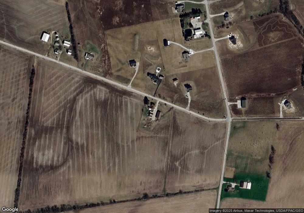
Map
Nearby Homes
- 0 Carr Rd Unit 225016840
- 0 Burnt Pond Rd Unit Tract 2
- 0 Burnt Pond Rd Unit Tract 4
- 0 Burnt Pond Rd Unit Tract 3
- 0 Burnt Pond Rd Unit Tract 5
- 6685 State Route 37 W
- 535 Brayshaw Dr
- 715 Tyler Rd
- 3480 Ostrander Rd
- 20478 Delaware County Line Rd
- 0 Delaware County Line Rd
- 231 Bluegrass Way
- 311 Ben Curtis Dr
- 1817 Lawrence Rd
- 9485 State Route 37
- 0 E High St Unit Tract 1 225034753
- 0 E High St Unit Tract 4 225034758
- 0 E High St Unit Tract 3 225034757
- 101 S Main St
- 0 Dean Rd Unit 225032132
- 6998 Degood Rd
- 7040 Degood Rd
- 6862 Degood Rd
- 6920 Degood Rd
- 944 Brindle Rd
- 0 Degood Rd Unit 9 9917116
- 0 Degood Rd Unit 14 9807177
- 0 Degood Rd Unit 15 9807174
- 0 Degood Rd Unit 10 9807181
- 0 Degood Rd Unit 7 9807162
- 0 Degood Rd Unit 9 9807180
- 0 Degood Rd Unit 8 9807165
- 0 Degood Rd Unit 12 9807170
- 0 Degood Rd Unit 13 9807172
- 0 Degood Rd Unit 11 9807166
- 0 Degood Rd Unit 2014397
- 0 Degood Rd Unit 2238178
- 0 Degood Rd Unit 221034055
- 0 Degood Rd Unit 221034054
- 0 Degood Rd Unit 221034053
Your Personal Tour Guide
Ask me questions while you tour the home.