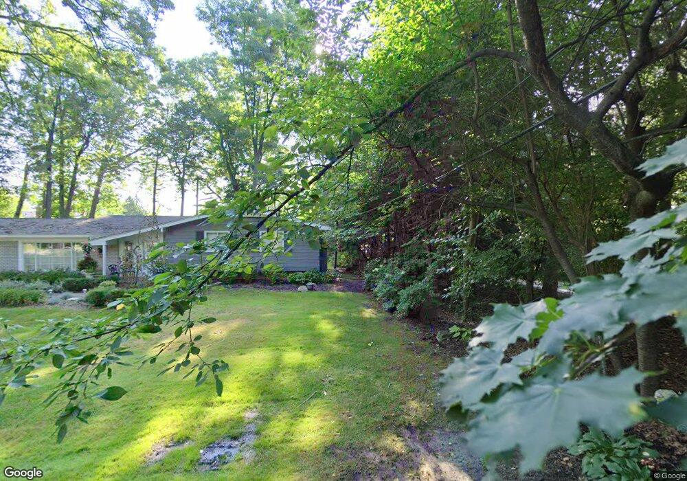
6997 N Springridge Rd West Bloomfield, MI 48322
Estimated Value: $391,829 - $505,000
3
Beds
3
Baths
2,027
Sq Ft
$217/Sq Ft
Est. Value
About This Home
This home is located at 6997 N Springridge Rd, West Bloomfield, MI 48322 and is currently estimated at $440,707, approximately $217 per square foot. 6997 N Springridge Rd is a home located in Oakland County with nearby schools including Wylie E. Groves High School, West Maple Elementary School, and Berkshire Middle School.
Ownership History
Date
Name
Owned For
Owner Type
Purchase Details
Closed on
Nov 10, 2021
Sold by
Harte John G and Harte Robin M
Bought by
John G Harte And Robin M Lundy Joint Declarat and Lundy Robin
Current Estimated Value
Purchase Details
Closed on
Apr 9, 1997
Sold by
Wingert Wayne L
Bought by
Harte John G
Home Financials for this Owner
Home Financials are based on the most recent Mortgage that was taken out on this home.
Original Mortgage
$140,000
Interest Rate
7.93%
Create a Home Valuation Report for This Property
The Home Valuation Report is an in-depth analysis detailing your home's value as well as a comparison with similar homes in the area
Home Values in the Area
Average Home Value in this Area
Purchase History
| Date | Buyer | Sale Price | Title Company |
|---|---|---|---|
| John G Harte And Robin M Lundy Joint Declarat | -- | None Listed On Document | |
| Harte John G | $175,000 | -- |
Source: Public Records
Mortgage History
| Date | Status | Borrower | Loan Amount |
|---|---|---|---|
| Previous Owner | Harte John G | $140,000 |
Source: Public Records
Tax History Compared to Growth
Tax History
| Year | Tax Paid | Tax Assessment Tax Assessment Total Assessment is a certain percentage of the fair market value that is determined by local assessors to be the total taxable value of land and additions on the property. | Land | Improvement |
|---|---|---|---|---|
| 2024 | $1,963 | $163,350 | $0 | $0 |
| 2022 | $1,945 | $158,230 | $47,500 | $110,730 |
| 2021 | $3,016 | $136,560 | $0 | $0 |
| 2020 | $1,717 | $129,330 | $39,310 | $90,020 |
| 2018 | $2,975 | $119,810 | $27,300 | $92,510 |
| 2015 | -- | $81,640 | $0 | $0 |
| 2014 | -- | $76,320 | $0 | $0 |
| 2011 | -- | $66,700 | $0 | $0 |
Source: Public Records
Map
Nearby Homes
- 7209 Stonebrook Rd
- 5312 Cambourne Place
- 7250 Ten Hill
- 6545 Post Oak Dr
- 7477 Gramercy Cir Unit 17
- 7479 Gramercy Cir Unit 16
- 6564 Alderley Way
- 7507 Gramercy Cir
- 7251 N Briarcliff Knoll Dr
- 28786 Rockledge Dr
- 29020 Ramblewood Dr
- 6800 N Clunbury Rd
- 7496 Cornwall Ct
- 7023 Wild Ridge Ln
- 2014 Waldons Ct
- 7335 Coach Ln
- 32500 Rock Ridge Ln
- 32411 Tareyton St
- 6730 Halyard Rd
- 30070 Lochmoor St
- 6983 N Springridge Rd
- 5167 Corners Dr
- 5163 Corners Dr
- 7005 Pebblecreek Rd
- 6986 Woodside Trail
- 7019 Pebblecreek Rd
- 5171 Corners Dr
- 6981 Woodside Trail
- 7000 Pebblecreek Rd
- 7000 Pebblecreek Rd
- 5159 Corners Dr
- 7033 Pebblecreek Rd
- 6935 N Springridge Rd
- 6971 Woodside Trail
- 6938 N Springridge Rd
- 5175 Corners Dr
- 5216 N Pebblecreek Rd
- 7029 Springridge Rd
- 7028 Brookridge Dr
- 5168 Corners Dr