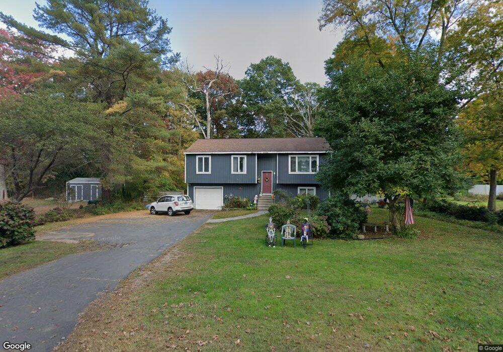
6a N Maple St East Hampton, CT 06424
Estimated Value: $286,000 - $363,000
3
Beds
3
Baths
1,132
Sq Ft
$291/Sq Ft
Est. Value
About This Home
This home is located at 6a N Maple St, East Hampton, CT 06424 and is currently estimated at $329,317, approximately $290 per square foot. 6a N Maple St is a home located in Middlesex County with nearby schools including Memorial School, Center Elementary School, and East Hampton Middle School.
Ownership History
Date
Name
Owned For
Owner Type
Purchase Details
Closed on
Nov 20, 2008
Sold by
Gaylord Rick M and Grant Catherise
Bought by
Cunningham David N
Current Estimated Value
Home Financials for this Owner
Home Financials are based on the most recent Mortgage that was taken out on this home.
Original Mortgage
$169,087
Outstanding Balance
$110,718
Interest Rate
6.03%
Estimated Equity
$218,599
Purchase Details
Closed on
Jan 25, 1995
Sold by
Vaughn David B
Bought by
Bevin Douglas F
Create a Home Valuation Report for This Property
The Home Valuation Report is an in-depth analysis detailing your home's value as well as a comparison with similar homes in the area
Home Values in the Area
Average Home Value in this Area
Purchase History
| Date | Buyer | Sale Price | Title Company |
|---|---|---|---|
| Cunningham David N | $199,700 | -- | |
| Cunningham David N | $199,700 | -- | |
| Bevin Douglas F | $121,000 | -- | |
| Bevin Douglas F | $121,000 | -- |
Source: Public Records
Mortgage History
| Date | Status | Borrower | Loan Amount |
|---|---|---|---|
| Open | Bevin Douglas F | $169,087 | |
| Closed | Bevin Douglas F | $169,087 | |
| Previous Owner | Bevin Douglas F | $25,000 |
Source: Public Records
Tax History Compared to Growth
Tax History
| Year | Tax Paid | Tax Assessment Tax Assessment Total Assessment is a certain percentage of the fair market value that is determined by local assessors to be the total taxable value of land and additions on the property. | Land | Improvement |
|---|---|---|---|---|
| 2025 | $5,098 | $128,390 | $39,000 | $89,390 |
| 2024 | $4,884 | $128,390 | $39,000 | $89,390 |
| 2023 | $4,630 | $128,390 | $39,000 | $89,390 |
| 2022 | $4,450 | $128,390 | $39,000 | $89,390 |
| 2021 | $4,433 | $128,390 | $39,000 | $89,390 |
| 2020 | $4,263 | $128,650 | $39,730 | $88,920 |
| 2019 | $4,279 | $129,120 | $40,840 | $88,280 |
| 2018 | $4,044 | $129,120 | $40,840 | $88,280 |
| 2017 | $4,044 | $129,120 | $40,840 | $88,280 |
| 2016 | $3,801 | $129,120 | $40,840 | $88,280 |
| 2015 | $3,467 | $124,810 | $39,320 | $85,490 |
| 2014 | $3,017 | $124,810 | $39,320 | $85,490 |
Source: Public Records
Map
Nearby Homes
- 14 Main St
- 62 Barton Hill Rd
- 4 Watrous St
- 1 Watrous St
- 29 Watrous St
- 18 Lake Blvd
- 85 N Main St Unit 117
- 28 Childs Rd
- 135 W High St
- 30 Barbara Ave
- 81 Middletown Ave
- 152 Main St
- 15 Waterview Cir
- Homesite 10 Quinns Way
- 402 Lake Vista Dr Unit 402
- 11 West St
- 38 Old Middletown Ave
- 8 Aldens Crossing
- 141 E High St
- 32 Midwood Farm Rd