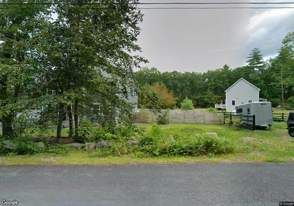
6B Poor Farm Rd Brookline, NH 03033
Estimated Value: $861,000 - $929,754
4
Beds
3
Baths
3,754
Sq Ft
$238/Sq Ft
Est. Value
About This Home
This home is located at 6B Poor Farm Rd, Brookline, NH 03033 and is currently estimated at $894,689, approximately $238 per square foot. 6B Poor Farm Rd is a home with nearby schools including Richard Maghakian Memorial School, Captain Samuel Douglass Academy, and Hollis-Brookline Middle School.
Ownership History
Date
Name
Owned For
Owner Type
Purchase Details
Closed on
Feb 12, 2024
Sold by
Beomouth Llc
Bought by
Habben Lindsay L and Habben Jerad K
Current Estimated Value
Home Financials for this Owner
Home Financials are based on the most recent Mortgage that was taken out on this home.
Original Mortgage
$629,000
Outstanding Balance
$614,457
Interest Rate
6.25%
Mortgage Type
Purchase Money Mortgage
Estimated Equity
$280,232
Create a Home Valuation Report for This Property
The Home Valuation Report is an in-depth analysis detailing your home's value as well as a comparison with similar homes in the area
Home Values in the Area
Average Home Value in this Area
Purchase History
| Date | Buyer | Sale Price | Title Company |
|---|---|---|---|
| Habben Lindsay L | $899,000 | None Available | |
| Habben Lindsay L | $899,000 | None Available |
Source: Public Records
Mortgage History
| Date | Status | Borrower | Loan Amount |
|---|---|---|---|
| Open | Habben Lindsay L | $629,000 | |
| Closed | Habben Lindsay L | $629,000 |
Source: Public Records
Tax History
| Year | Tax Paid | Tax Assessment Tax Assessment Total Assessment is a certain percentage of the fair market value that is determined by local assessors to be the total taxable value of land and additions on the property. | Land | Improvement |
|---|---|---|---|---|
| 2025 | $20,693 | $839,800 | $208,200 | $631,600 |
| 2024 | $18,988 | $839,800 | $208,200 | $631,600 |
| 2023 | $7 | $337 | $337 | $0 |
| 2022 | $8 | $257 | $257 | $0 |
| 2021 | $63 | $2,188 | $2,188 | $0 |
| 2020 | $63 | $2,253 | $2,253 | $0 |
| 2019 | $72 | $2,400 | $2,400 | $0 |
| 2018 | $69 | $2,371 | $2,371 | $0 |
| 2017 | $63 | $1,927 | $1,927 | $0 |
| 2016 | $66 | $2,013 | $2,013 | $0 |
| 2015 | $63 | $2,025 | $2,025 | $0 |
| 2014 | $67 | $2,025 | $2,025 | $0 |
| 2013 | $73 | $2,299 | $2,299 | $0 |
Source: Public Records
Map
Nearby Homes
- 8 Poor Farm Rd
- 49 Countryside Dr
- 38 Countryside Dr
- 6 S Spaulding Brook Rd
- 41 Dupaw Gould Rd
- 97 Babb Meadow Ln
- 97 Timber Ridge Dr
- 87 Timber Ridge Dr
- 52 Mason Rd
- 24 Captain Seaver Rd
- 121 Badger Hill Dr
- 3 Norway Dr
- 131 Route 13
- 61 Russell Hill Rd
- 7 Winterberry Rd
- 9 Winterberry Rd
- 9 Louis Dr
- 35a Hood Rd
- 0 Ruonala Rd Unit 96, 69-1
- 000 Ruonala Rd Unit 88
- 14 Ben Farnsworth Rd
- C-73 Tremblay Way
- 5 Poor Farm Rd
- 8 Kemp Dr
- 18 Ben Farnsworth Rd
- 1 Tremblay Way
- 1 Poor Farm Rd
- 7 Poor Farm Rd
- 10 Ben Farnsworth Rd
- 12 Poor Farm Rd
- 10 Poor Farm Rd
- 2 Tremblay Way
- 2 Tremblay Way
- 6 Kemp Dr
- 7 Ben Farnsworth Rd
- 5 Ben Farnsworth Rd
- 11 Ben Farnsworth Rd
- 11 Kemp Dr
- 13 Kemp Dr
- 4 Barber Way
Your Personal Tour Guide
Ask me questions while you tour the home.