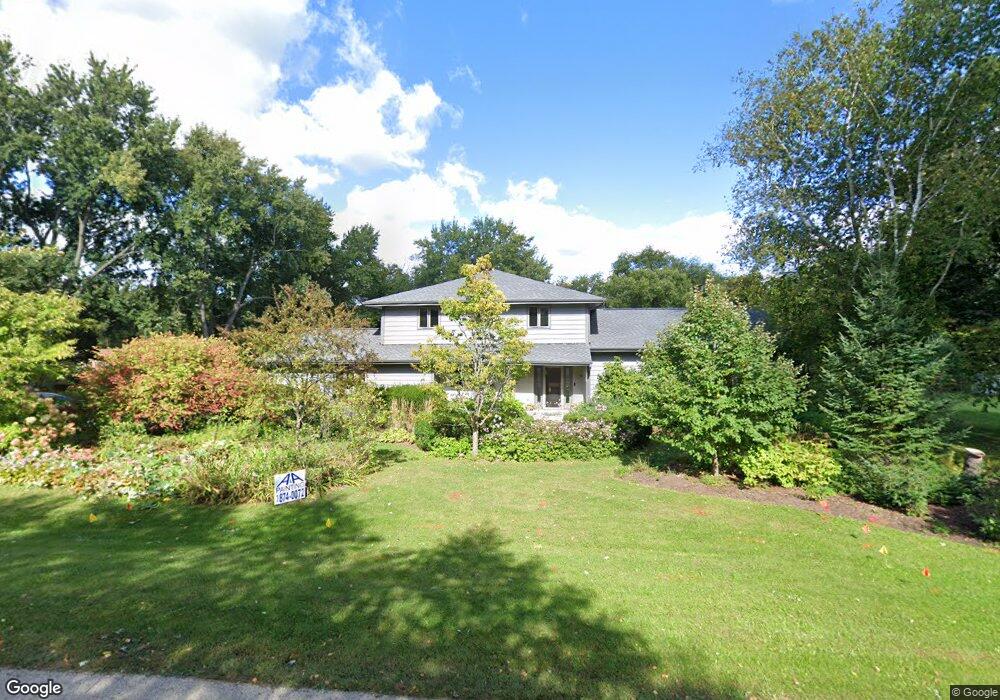
6N225 Woodland Rd Saint Charles, IL 60175
Estimated Value: $444,301 - $614,000
--
Bed
1
Bath
2,316
Sq Ft
$220/Sq Ft
Est. Value
About This Home
This home is located at 6N225 Woodland Rd, Saint Charles, IL 60175 and is currently estimated at $508,825, approximately $219 per square foot. 6N225 Woodland Rd is a home located in Kane County with nearby schools including Wasco Elementary School, Thompson Middle School, and St Charles North High School.
Ownership History
Date
Name
Owned For
Owner Type
Purchase Details
Closed on
Oct 12, 2023
Sold by
Martin Craig J and Martin Leslie A
Bought by
Leslie A Martin Trust
Current Estimated Value
Purchase Details
Closed on
Dec 1, 2021
Sold by
Martin Craig J and Martin Leslie
Bought by
Martin Craig J and Martin Leslie
Purchase Details
Closed on
Jul 5, 1999
Sold by
Martin Craig and Martin Leslie
Bought by
Martin Craig J and Martin Leslie
Create a Home Valuation Report for This Property
The Home Valuation Report is an in-depth analysis detailing your home's value as well as a comparison with similar homes in the area
Home Values in the Area
Average Home Value in this Area
Purchase History
| Date | Buyer | Sale Price | Title Company |
|---|---|---|---|
| Leslie A Martin Trust | -- | None Listed On Document | |
| Martin Craig J | -- | Attorney | |
| Martin Craig J | -- | -- |
Source: Public Records
Tax History Compared to Growth
Tax History
| Year | Tax Paid | Tax Assessment Tax Assessment Total Assessment is a certain percentage of the fair market value that is determined by local assessors to be the total taxable value of land and additions on the property. | Land | Improvement |
|---|---|---|---|---|
| 2024 | $6,483 | $114,082 | $22,717 | $91,365 |
| 2023 | $6,248 | $101,995 | $20,310 | $81,685 |
| 2022 | $6,145 | $92,934 | $18,506 | $74,428 |
| 2021 | $5,743 | $87,748 | $17,473 | $70,275 |
| 2020 | $5,726 | $86,486 | $17,222 | $69,264 |
| 2019 | $5,645 | $85,216 | $16,969 | $68,247 |
| 2018 | $6,017 | $85,216 | $16,969 | $68,247 |
| 2017 | $5,961 | $83,965 | $16,720 | $67,245 |
| 2016 | $6,333 | $81,845 | $16,298 | $65,547 |
| 2015 | -- | $79,585 | $15,848 | $63,737 |
| 2014 | -- | $80,805 | $16,091 | $64,714 |
| 2013 | -- | $82,161 | $16,361 | $65,800 |
Source: Public Records
Map
Nearby Homes
- 5N683 Ravine Dr
- 42W534 Empire Rd
- 41W455 Brierwood Dr
- 6N679 Colonel Bennett Ln
- 40W630 Winchester Way
- 42W641 Jens Jensen Ln Unit 2
- 40W897 Brown Rd
- 5N634 Lostview Ln
- 7N072 Willowbrook Dr
- 42W697 Bridle Ct
- 7N075 Hastings Dr
- 7N107 Hastings Dr
- 5N533 Prairie Springs Dr
- 40W778 Ellis Johnson Ln
- 4N884 Old Lafox Rd
- 40W758 Ellis Johnson Ln
- 24 Autumn Ct
- 40W035 Deer Run Dr
- LOT 1 E Sunset Views Dr
- 4N466 Mark Twain St
- 6N207 Woodland Rd
- 6N257 Woodland Rd
- 6N200 Woodland Rd
- 6N173 Woodland Rd
- 6N267 Woodland Rd
- 6N260 Woodland Rd
- 41W633 Barberry Ln Unit 2
- 6N143 Woodland Rd
- 6N320 Barberry Ln Unit 2
- 6N291 Woodland Rd
- 6N150 Woodland Rd
- 41W755 Esther Ln
- 6N250 Boxwood Ln
- 41W770 Esther Ln
- 6N296 Woodland Rd
- 41W765 Esther Ln
- 6N119 Woodland Rd
- 6N303 Woodland Rd
- 41W738 Margie Ln
- 41W657 Holly Ct