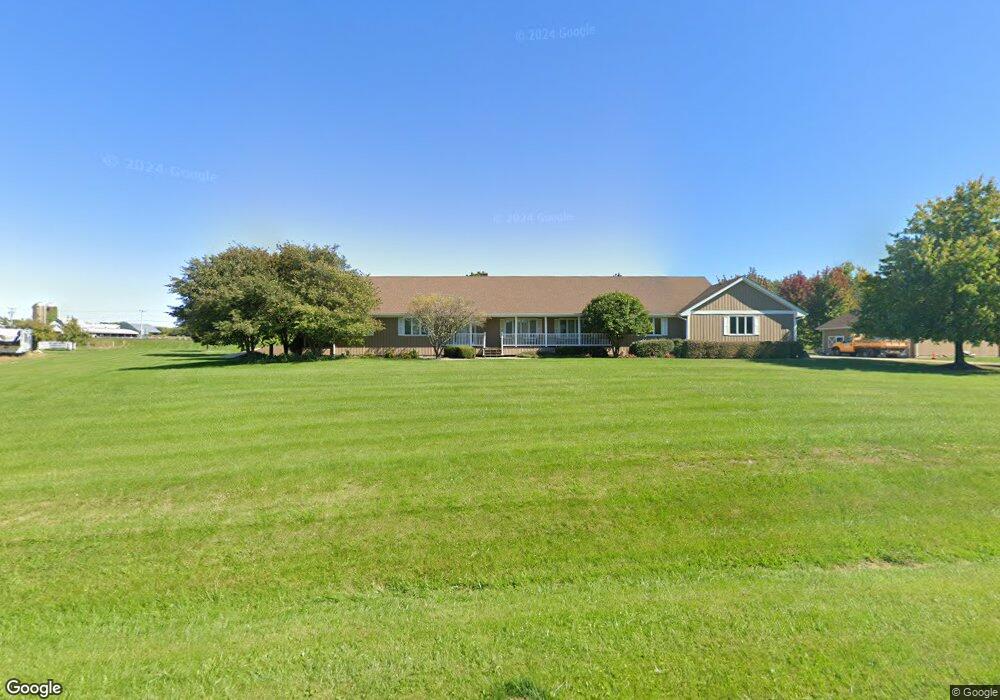
6N347 Clydesdale Ct Unit 3 Saint Charles, IL 60175
Estimated Value: $676,347 - $785,000
--
Bed
1
Bath
2,976
Sq Ft
$239/Sq Ft
Est. Value
About This Home
This home is located at 6N347 Clydesdale Ct Unit 3, Saint Charles, IL 60175 and is currently estimated at $712,087, approximately $239 per square foot. 6N347 Clydesdale Ct Unit 3 is a home located in Kane County with nearby schools including Wasco Elementary School, Thompson Middle School, and St Charles North High School.
Ownership History
Date
Name
Owned For
Owner Type
Purchase Details
Closed on
Dec 2, 1994
Sold by
Harris Bank Roselle
Bought by
Coffey Jimmie L and Coffey Ruthann M
Current Estimated Value
Home Financials for this Owner
Home Financials are based on the most recent Mortgage that was taken out on this home.
Original Mortgage
$176,000
Outstanding Balance
$101,828
Interest Rate
9.06%
Estimated Equity
$610,259
Create a Home Valuation Report for This Property
The Home Valuation Report is an in-depth analysis detailing your home's value as well as a comparison with similar homes in the area
Home Values in the Area
Average Home Value in this Area
Purchase History
| Date | Buyer | Sale Price | Title Company |
|---|---|---|---|
| Coffey Jimmie L | $220,000 | Ticor Title Ins |
Source: Public Records
Mortgage History
| Date | Status | Borrower | Loan Amount |
|---|---|---|---|
| Open | Coffey Jimmie L | $176,000 |
Source: Public Records
Tax History Compared to Growth
Tax History
| Year | Tax Paid | Tax Assessment Tax Assessment Total Assessment is a certain percentage of the fair market value that is determined by local assessors to be the total taxable value of land and additions on the property. | Land | Improvement |
|---|---|---|---|---|
| 2024 | $13,213 | $199,903 | $35,110 | $164,793 |
| 2023 | $12,985 | $178,724 | $31,390 | $147,334 |
| 2022 | $12,214 | $162,846 | $28,601 | $134,245 |
| 2021 | $11,505 | $153,759 | $27,005 | $126,754 |
| 2020 | $11,495 | $151,546 | $26,616 | $124,930 |
| 2019 | $11,358 | $149,321 | $26,225 | $123,096 |
| 2018 | $11,342 | $149,321 | $26,225 | $123,096 |
| 2017 | $11,249 | $147,129 | $25,840 | $121,289 |
| 2016 | $11,974 | $143,415 | $25,188 | $118,227 |
| 2015 | -- | $139,454 | $24,492 | $114,962 |
| 2014 | -- | $141,593 | $24,868 | $116,725 |
| 2013 | -- | $143,968 | $25,285 | $118,683 |
Source: Public Records
Map
Nearby Homes
- 40W630 Winchester Way
- 6N679 Colonel Bennett Ln
- 7N072 Willowbrook Dr
- 7N075 Hastings Dr
- 7N107 Hastings Dr
- 39W841 Prunetree Ln
- 40W897 Brown Rd
- 41W455 Brierwood Dr
- 40W035 Deer Run Dr
- 41W540 Burlington Rd
- 4N884 Old Lafox Rd
- 39W795 Goldenrod Dr
- 1857 Chandolin Ln
- 1865 Chandolin Ln
- 1863 Chandolin Ln
- 1867 Chandolin Ln
- 5N648 Farrier Point Ln
- 1854 Chandolin Ln
- 1858 Chandolin Ln
- 1850 Diamond Dr
- 6N395 Clydesdale Ct Unit 3
- 6N396 Clydesdale Ct
- 6N340 Clydesdale Ct
- 6N327 Corron Rd
- 6N397 Corron Rd
- 6N312 Clydesdale Ct Unit 3
- 6N407 Clydesdale Ct
- 6N355 Corron Rd
- 6N385 Corron Rd
- 6N411 Clydesdale Ct Unit 3
- 6N410 Clydesdale Ct
- 40W470 Fair Oaks Dr
- 6N431 Clydesdale Ct
- 40W589 Fair Oaks Dr
- 6N550 Willowbrook Dr
- 40W539 Fair Oaks Dr
- 6N430 Clydesdale Ct
- 40 Fair Oaks Dr
- 6N566 Willowbrook Dr
- 40W436 Fair Oaks Dr