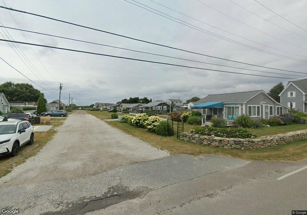
7 2nd St Westport, MA 02790
South Westport NeighborhoodEstimated Value: $499,000 - $573,254
3
Beds
--
Bath
672
Sq Ft
$812/Sq Ft
Est. Value
About This Home
This home is located at 7 2nd St, Westport, MA 02790 and is currently estimated at $545,564, approximately $811 per square foot. 7 2nd St is a home located in Bristol County with nearby schools including Alice A. Macomber Primary School, Westport Elementary School, and Westport Middle-High School.
Ownership History
Date
Name
Owned For
Owner Type
Purchase Details
Closed on
Mar 11, 2019
Sold by
Hopfgarten Rudy F
Bought by
Rudy F Hopfgarten Ret
Current Estimated Value
Purchase Details
Closed on
Aug 31, 1993
Sold by
Hopfgarten Rudy C
Bought by
Cavanagh James E and Cavanagh Barbara J
Home Financials for this Owner
Home Financials are based on the most recent Mortgage that was taken out on this home.
Original Mortgage
$60,000
Interest Rate
7.06%
Mortgage Type
Purchase Money Mortgage
Purchase Details
Closed on
Aug 2, 1993
Sold by
Washburn Gordon H and Dishman Marsha A
Bought by
Hopfgarten Rody C
Home Financials for this Owner
Home Financials are based on the most recent Mortgage that was taken out on this home.
Original Mortgage
$60,000
Interest Rate
7.06%
Mortgage Type
Purchase Money Mortgage
Create a Home Valuation Report for This Property
The Home Valuation Report is an in-depth analysis detailing your home's value as well as a comparison with similar homes in the area
Home Values in the Area
Average Home Value in this Area
Purchase History
| Date | Buyer | Sale Price | Title Company |
|---|---|---|---|
| Rudy F Hopfgarten Ret | -- | -- | |
| Cavanagh James E | $115,000 | -- | |
| Hopfgarten Rody C | $130,000 | -- |
Source: Public Records
Mortgage History
| Date | Status | Borrower | Loan Amount |
|---|---|---|---|
| Previous Owner | Hopfgarten Rody C | $60,000 | |
| Previous Owner | Hopfgarten Rody C | $200,000 |
Source: Public Records
Tax History Compared to Growth
Tax History
| Year | Tax Paid | Tax Assessment Tax Assessment Total Assessment is a certain percentage of the fair market value that is determined by local assessors to be the total taxable value of land and additions on the property. | Land | Improvement |
|---|---|---|---|---|
| 2025 | $3,183 | $427,200 | $339,900 | $87,300 |
| 2024 | $3,080 | $398,400 | $315,000 | $83,400 |
| 2023 | $2,562 | $314,000 | $240,000 | $74,000 |
| 2022 | $2,591 | $305,600 | $240,000 | $65,600 |
| 2021 | $2,440 | $283,100 | $218,100 | $65,000 |
| 2020 | $2,298 | $272,600 | $209,400 | $63,200 |
| 2019 | $3,192 | $386,000 | $324,600 | $61,400 |
| 2018 | $1,658 | $202,900 | $146,700 | $56,200 |
| 2017 | $1,606 | $201,500 | $146,700 | $54,800 |
| 2016 | $1,603 | $202,600 | $146,700 | $55,900 |
| 2015 | $1,582 | $199,500 | $150,000 | $49,500 |
Source: Public Records
Map
Nearby Homes
- 238-242 E Beach Rd
- Lot 2 Horseneck Rd
- 0 Reed Rd (Ss)
- 1702 Drift Rd
- 1702J Drift Rd
- 1881 Main Rd
- Lot 2E Horseneck Rd
- 99 Sylvia Ln
- 1580 Main Rd
- Lot 1 Rafael Rd
- 332 Division Rd
- 61 Pardon Hill Rd
- 2 Slades Farm Ln
- 12 Meadow Shores Rd
- 24 White Alder Way
- 1346 Main Rd Unit B
- 482 Smith Neck Rd
- 304 Brayton Point Rd
- 24 Eagle Dr
- 19 Seabury Ln