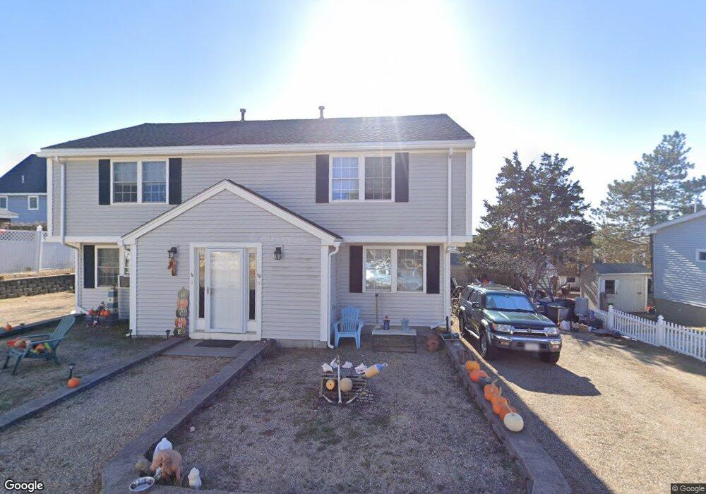
7 6th St Newbury, MA 01951
Estimated Value: $1,143,584 - $1,371,000
4
Beds
4
Baths
1,896
Sq Ft
$661/Sq Ft
Est. Value
About This Home
This home is located at 7 6th St, Newbury, MA 01951 and is currently estimated at $1,252,646, approximately $660 per square foot. 7 6th St is a home located in Essex County with nearby schools including Triton Regional High School, River Valley Charter School, and Immaculate Conception School.
Ownership History
Date
Name
Owned For
Owner Type
Purchase Details
Closed on
Jun 17, 2021
Sold by
Fordham Belinda K and Fordham Thomas R
Bought by
Fordham Irt
Current Estimated Value
Purchase Details
Closed on
Jun 1, 2000
Sold by
Rwr Two Rt and Timmons Russell E
Bought by
Fordham Thomas R and Fordham Belinda K
Home Financials for this Owner
Home Financials are based on the most recent Mortgage that was taken out on this home.
Original Mortgage
$270,000
Interest Rate
8.14%
Mortgage Type
Purchase Money Mortgage
Create a Home Valuation Report for This Property
The Home Valuation Report is an in-depth analysis detailing your home's value as well as a comparison with similar homes in the area
Home Values in the Area
Average Home Value in this Area
Purchase History
| Date | Buyer | Sale Price | Title Company |
|---|---|---|---|
| Fordham Irt | -- | None Available | |
| Fordham Irt | -- | None Available | |
| Fordham Irt | -- | None Available | |
| Fordham Thomas R | $159,000 | -- | |
| Fordham Thomas R | $159,000 | -- |
Source: Public Records
Mortgage History
| Date | Status | Borrower | Loan Amount |
|---|---|---|---|
| Previous Owner | Fordham Thomas R | $270,000 |
Source: Public Records
Tax History Compared to Growth
Tax History
| Year | Tax Paid | Tax Assessment Tax Assessment Total Assessment is a certain percentage of the fair market value that is determined by local assessors to be the total taxable value of land and additions on the property. | Land | Improvement |
|---|---|---|---|---|
| 2025 | $7,082 | $950,600 | $461,400 | $489,200 |
| 2024 | $6,486 | $844,500 | $421,300 | $423,200 |
| 2023 | $6,189 | $713,800 | $351,100 | $362,700 |
| 2022 | $5,692 | $585,000 | $270,800 | $314,200 |
| 2021 | $5,337 | $500,700 | $220,700 | $280,000 |
| 2020 | $5,235 | $476,300 | $220,700 | $255,600 |
| 2019 | $5,149 | $476,300 | $220,700 | $255,600 |
| 2018 | $4,707 | $431,800 | $200,600 | $231,200 |
| 2017 | $4,581 | $431,800 | $200,600 | $231,200 |
| 2016 | $4,252 | $373,000 | $160,500 | $212,500 |
| 2015 | $4,182 | $363,000 | $150,500 | $212,500 |
| 2014 | $4,109 | $363,000 | $150,500 | $212,500 |
Source: Public Records
Map
Nearby Homes
- 5 Northern Blvd
- 2 Plum Island Blvd
- 11 Sunset Dr
- 2 Sunset Dr
- 44 Old Point Rd
- 4 54th St
- 5 Helena St
- 12 53rd St
- 28 & 30 Plum Island Turnpike
- 65 Plum Island Turnpike
- 11 Harbor St
- 12 Barker St
- 10 Meadowview Ln Unit B
- 24 Seaview Ln
- 7 Pine Island Rd
- 144 High Rd
- 182 High Rd
- 105 High Rd Unit Lot 2
- 33 Union St
- 4 Goodwin Ave