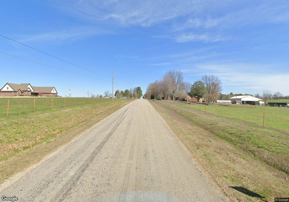
7.7+/- acres Piazza Rd Tontitown, AR 72762
Estimated Value: $174,000 - $603,000
--
Bed
--
Bath
--
Sq Ft
7.7
Acres
About This Home
This home is located at 7.7+/- acres Piazza Rd, Tontitown, AR 72762 and is currently estimated at $389,333. 7.7+/- acres Piazza Rd is a home located in Washington County with nearby schools including Jim D Rollins Elementary School of Innovation, Hellstern Middle School, and Central Junior High School.
Ownership History
Date
Name
Owned For
Owner Type
Purchase Details
Closed on
May 1, 2019
Sold by
Edgmon Brenda Ann and Piazza Ricky Edward
Bought by
City Of Tontitown
Current Estimated Value
Purchase Details
Closed on
Jan 19, 1999
Sold by
Bonnie Lou Piazza Living Trust
Bought by
Burkett James Charles and Burkett Sandra Kay
Purchase Details
Closed on
Aug 17, 1989
Bought by
Piazza Family Irrevocable Trust
Purchase Details
Closed on
Jan 1, 1985
Bought by
Piazza George E and Bonnie Lou
Create a Home Valuation Report for This Property
The Home Valuation Report is an in-depth analysis detailing your home's value as well as a comparison with similar homes in the area
Home Values in the Area
Average Home Value in this Area
Purchase History
| Date | Buyer | Sale Price | Title Company |
|---|---|---|---|
| City Of Tontitown | $78,200 | Waco Title | |
| Burkett James Charles | -- | -- | |
| Lipspaces Llc | $2,500,000 | Realty Title | |
| Piazza Family Irrevocable Trust | -- | -- | |
| Piazza George E | -- | -- |
Source: Public Records
Tax History Compared to Growth
Tax History
| Year | Tax Paid | Tax Assessment Tax Assessment Total Assessment is a certain percentage of the fair market value that is determined by local assessors to be the total taxable value of land and additions on the property. | Land | Improvement |
|---|---|---|---|---|
| 2025 | -- | $0 | $0 | $0 |
| 2024 | -- | $0 | $0 | $0 |
| 2023 | $134 | $3,750 | $3,750 | $0 |
| 2022 | $122 | $2,420 | $1,390 | $1,030 |
| 2021 | $122 | $2,420 | $1,390 | $1,030 |
| 2020 | $122 | $2,420 | $1,390 | $1,030 |
| 2019 | $121 | $2,400 | $1,370 | $1,030 |
| 2018 | $125 | $2,470 | $1,440 | $1,030 |
| 2017 | $122 | $2,470 | $1,440 | $1,030 |
| 2016 | $122 | $2,470 | $1,440 | $1,030 |
| 2015 | $122 | $2,470 | $1,440 | $1,030 |
| 2014 | $149 | $3,060 | $1,240 | $1,820 |
Source: Public Records
Map
Nearby Homes
- 452 Romano Ave
- 329 Ceola Ave
- 310 Ceola Ave
- 254 Penzo Ave
- 662 Primitivo Ave
- 632 Primitivo Ave
- 663 Primitivo Ave
- 633 Primitivo Ave
- 881 Pergola
- 945 Pergola
- 7832 Brooklyn Ave
- 773 Via Firenze Ave
- 847 Via Firenze Ave
- 862 Via Firenze Ave
- 7396 Alivia Cir
- 1224 S Maestri Rd
- 6545 Georges Ave
- 7159 Floy Ct
- 861 Lambrusco Blvd
- 6863 Freedom Place
- 622 Piazza Rd
- 626 Piazza Rd
- 609 Laura Ln
- 609 Laura Ln
- 250 Industrial Dr
- 0 Industrial Dr
- 482 Albano Dr
- 670 E Laura Ave
- 698 Piazza Rd
- 720 Piazza Rd
- 0 Hwy 412 & Industrial Cir Unit 1024686
- 740 Piazza Rd
- 487 Agnes Dr
- 428 Industrial Dr
- 450 Anges Dr
- 556 Frizzo St
- 782 Piazza Rd
- 546 Frizzo St
- 491 Ceola Ave
- 413 B Albano