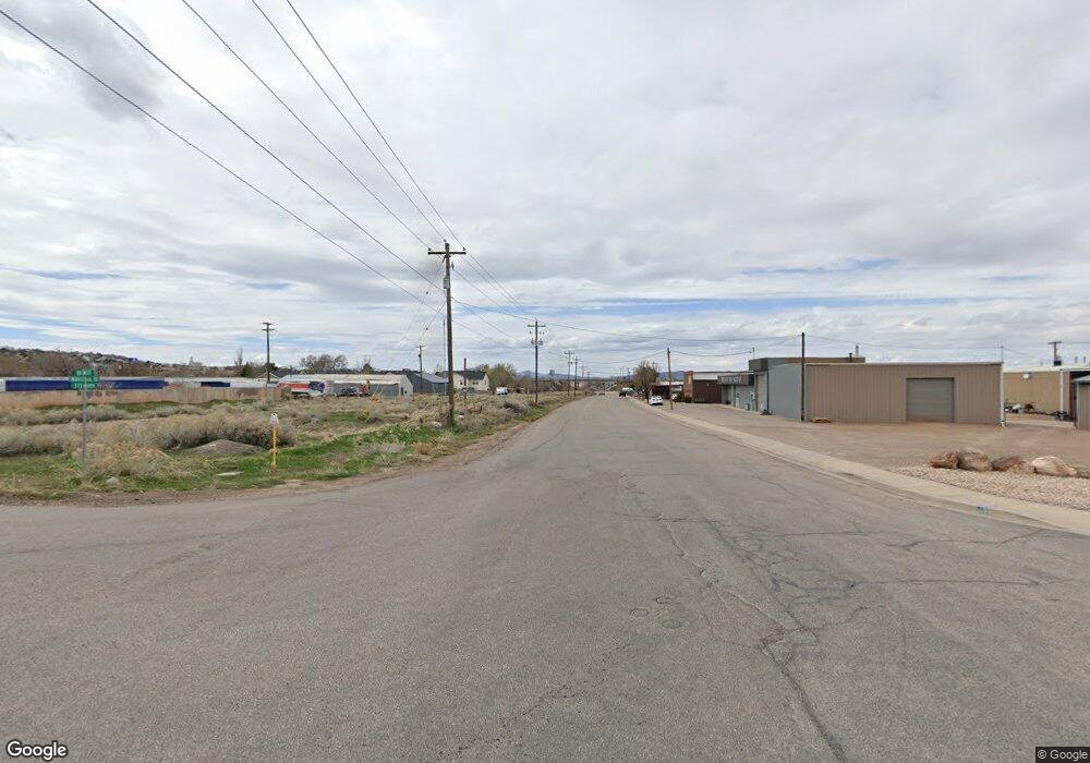
7.70 Ac Industry Rd Cedar City, UT 84721
--
Bed
--
Bath
335,412
Sq Ft
--
Built
About This Home
This home is located at 7.70 Ac Industry Rd, Cedar City, UT 84721. 7.70 Ac Industry Rd is a home located in Iron County with nearby schools including Cedar North School, Cedar Middle School, and Cedar City High School.
Ownership History
Date
Name
Owned For
Owner Type
Purchase Details
Closed on
Apr 22, 2025
Sold by
Paul R Lunt Trust and Platt Stephen R
Bought by
Paul R Lunt Trust and Platt
Purchase Details
Closed on
Apr 14, 2025
Sold by
Mjp Real Estate Llc
Bought by
Paul R Lunt Trust and Platt
Purchase Details
Closed on
Nov 27, 2024
Sold by
Perry Megan Platt
Bought by
Mjp Real Estate Llc
Purchase Details
Closed on
Nov 14, 2024
Sold by
Platt Sage Pauline and Platt Stephen R
Bought by
Mjp Real Estate Llc
Purchase Details
Closed on
Oct 22, 2024
Sold by
Paul R Lunt Trust and Platt Sage Pauline
Bought by
Mjp Real Estate Llc
Purchase Details
Closed on
Mar 5, 2021
Sold by
P & N Investments Inc
Bought by
Paul R Lunt Trust and Platt
Purchase Details
Closed on
Feb 22, 2021
Sold by
P & N Investments
Bought by
Platt Sage Pauline and The Paul R Lunt Trust
Purchase Details
Closed on
Jan 3, 2019
Sold by
Twelves Tricia Anne and Lunt Evan Miles
Bought by
P & N Investments Llc
Purchase Details
Closed on
Aug 26, 2008
Sold by
Lunt Paul Ray
Bought by
Lunt Evan Miles
Purchase Details
Closed on
Aug 5, 2008
Sold by
Lunt Ray Eugene
Bought by
Twelves Tricia Anne
Purchase Details
Closed on
Dec 18, 2007
Sold by
Lunt Paul R and Lunt Naomi D
Bought by
P And N Investments Llc and Lunt Ray Eugene
Create a Home Valuation Report for This Property
The Home Valuation Report is an in-depth analysis detailing your home's value as well as a comparison with similar homes in the area
Home Values in the Area
Average Home Value in this Area
Purchase History
| Date | Buyer | Sale Price | Title Company |
|---|---|---|---|
| Paul R Lunt Trust | -- | -- | |
| Paul R Lunt Trust | -- | -- | |
| Paul R Lunt Trust | -- | -- | |
| Mjp Real Estate Llc | -- | -- | |
| Mjp Real Estate Llc | -- | -- | |
| Mjp Real Estate Llc | -- | -- | |
| Paul R Lunt Trust | -- | Security Escrow & Title | |
| Paul R Lunt Trust | -- | Security Escrow & Title | |
| Platt Sage Pauline | -- | Accommodation | |
| Platt Sage Pauline | -- | Security Escrow & Ttl Ins Ag | |
| P & N Investments Llc | -- | Accommodation | |
| Lunt Evan Miles | -- | -- | |
| Twelves Tricia Anne | -- | -- | |
| P And N Investments Llc | -- | -- |
Source: Public Records
Tax History Compared to Growth
Tax History
| Year | Tax Paid | Tax Assessment Tax Assessment Total Assessment is a certain percentage of the fair market value that is determined by local assessors to be the total taxable value of land and additions on the property. | Land | Improvement |
|---|---|---|---|---|
| 2025 | $223 | $28,693 | $2,143 | $26,550 |
| 2023 | $224 | $28,610 | $2,060 | $26,550 |
| 2022 | $263 | $28,610 | $2,060 | $26,550 |
| 2021 | $222 | $24,135 | $2,010 | $22,125 |
| 2020 | $220 | $21,230 | $1,995 | $19,235 |
| 2019 | $233 | $21,500 | $2,265 | $19,235 |
| 2018 | $241 | $21,500 | $2,265 | $19,235 |
| 2017 | $246 | $21,600 | $2,365 | $19,235 |
| 2016 | $242 | $19,810 | $2,320 | $17,490 |
| 2015 | $255 | $19,755 | $0 | $0 |
| 2014 | $292 | $21,175 | $0 | $0 |
Source: Public Records
Map
Nearby Homes
- 374 N 1500 W
- 364 N 1500 W
- 6333 N 1600 W
- 325 N 1500 W
- 147.9141 Acre Ft Water Right 73-1201
- 1120 Bulloch Cir
- 0 1 Af Water (Wr # 73-999) Unit 25-265506
- 272 N 1500 W
- 495 N 2150 W
- 240 N 1400 W
- 1.75 Acres 200 North Corner Lot Unit Zoned Commercial
- 960 N 1400 W
- 4482 W 250 N
- 4591 W 250 N
- 4961 N 900 W Unit lot 68
- 465 N 800 W Unit 3
- 465 N 800 W Unit 7
- 465 N 800 W Unit 2
- 0.69 Acre Lot W Skyview Dr
- 1770 W Harding Ave
- 1400 W Industrial Rd
- 645 N 1500 W
- 593 N 1450 W
- 593 N 1450 W Unit B
- 573 N 1450 W
- Un.12 Ph.2 1400 W Industrial Rd
- 800 W Industrial Rd
- Un.9 Ph.2 1400 W Industrial Rd
- .29 Ac Fort Cedar Comm
- 597 N 1500 W
- 572 1450 W
- 631 N 1450 W
- Lot 105 Iron Mountain Subdivision
- 570-578 N 1450 W
- 574 N 1450 W
- 574 N 1450 W
- 572 N 1450 W
- 572 Fort Cedar Blvd
- 572 N 1450 W
- 576 N 1450 W