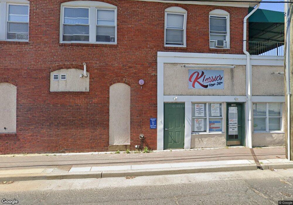
7 9 W Broad St Paulsboro, NJ 08066
Estimated Value: $159,628
--
Bed
--
Bath
2,960
Sq Ft
$54/Sq Ft
Est. Value
About This Home
This home is located at 7 9 W Broad St, Paulsboro, NJ 08066 and is currently estimated at $159,628, approximately $53 per square foot. 7 9 W Broad St is a home located in Gloucester County with nearby schools including Billingsport Elementary School, Loudenslager Elementary School, and Paulsboro High School.
Ownership History
Date
Name
Owned For
Owner Type
Purchase Details
Closed on
Sep 29, 2016
Sold by
Alexjenllc
Bought by
18 Nbrooad Llc
Current Estimated Value
Purchase Details
Closed on
Mar 28, 2012
Sold by
Harris Thomas J and Harris Joyce I
Bought by
Alexjen Llc
Home Financials for this Owner
Home Financials are based on the most recent Mortgage that was taken out on this home.
Original Mortgage
$56,000
Interest Rate
3.5%
Mortgage Type
Commercial
Create a Home Valuation Report for This Property
The Home Valuation Report is an in-depth analysis detailing your home's value as well as a comparison with similar homes in the area
Home Values in the Area
Average Home Value in this Area
Purchase History
| Date | Buyer | Sale Price | Title Company |
|---|---|---|---|
| 18 Nbrooad Llc | $85,000 | Homestead Title Agency | |
| Alexjen Llc | $80,000 | Continental Title Abstract C |
Source: Public Records
Mortgage History
| Date | Status | Borrower | Loan Amount |
|---|---|---|---|
| Previous Owner | Alexjen Llc | $56,000 |
Source: Public Records
Tax History Compared to Growth
Tax History
| Year | Tax Paid | Tax Assessment Tax Assessment Total Assessment is a certain percentage of the fair market value that is determined by local assessors to be the total taxable value of land and additions on the property. | Land | Improvement |
|---|---|---|---|---|
| 2025 | $4,149 | $94,300 | $59,000 | $35,300 |
| 2024 | $4,145 | $94,300 | $59,000 | $35,300 |
| 2023 | $4,145 | $94,300 | $59,000 | $35,300 |
| 2022 | $4,070 | $94,300 | $59,000 | $35,300 |
| 2021 | $3,991 | $94,300 | $59,000 | $35,300 |
| 2020 | $3,966 | $94,300 | $59,000 | $35,300 |
| 2019 | $3,842 | $94,300 | $59,000 | $35,300 |
| 2018 | $3,622 | $94,300 | $59,000 | $35,300 |
| 2017 | $3,607 | $94,300 | $59,000 | $35,300 |
| 2016 | $3,436 | $94,300 | $59,000 | $35,300 |
| 2015 | $5,692 | $157,100 | $59,000 | $98,100 |
| 2014 | $2,641 | $78,400 | $59,000 | $19,400 |
Source: Public Records
Map
Nearby Homes
- 11 W Washington St
- 28 E Adams St
- 122 W Washington St
- 21 W Adams St
- 27 29 E Adams St
- 106 E Adams St
- 1519 Pine St
- 129 W Washington St
- 28 W Jefferson St
- 1534 Pine St
- 227 W Buck St
- 131 Jessup St
- 212 E Jefferson St
- 140 142 W Jefferson St
- 269 W Broad St
- 1043 Penn Line Rd
- 8 S Delaware St
- L18 20 W Broad St
- 46 Roosevelt St
- 335 W Buck St
- 9 W Broad St Unit 7&9
- 9 W Broad St
- 7 9 W Broad St Unit 101
- 7 W Broad St Unit 101
- 1326 N Delaware St
- 1326 N Delaware St Unit 101
- 1 W Broad St
- 1 W Broad St
- 1324 N Delaware St
- 1324 N Delaware St Unit 20
- 1324 1326 N Delaware St Unit 20
- 29 E Broad St
- 2 W Broad St
- 1326 S Delaware St Unit 101
- 29 E Broad St
- 6 W Broad St
- 3 W Broad St Unit 3A
- 26 W Broad St Unit 24
- 1306 N Delaware St
- 1400 S Delaware St Unit A