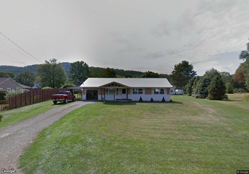
7 Adams Ct Warren, PA 16365
Estimated Value: $137,089 - $182,000
3
Beds
1
Bath
1,232
Sq Ft
$130/Sq Ft
Est. Value
About This Home
This home is located at 7 Adams Ct, Warren, PA 16365 and is currently estimated at $160,022, approximately $129 per square foot. 7 Adams Ct is a home located in Warren County with nearby schools including Warren Area Elementary Center, Beaty-Warren Middle School, and Warren Area High School.
Ownership History
Date
Name
Owned For
Owner Type
Purchase Details
Closed on
Dec 5, 2023
Sold by
Shaw Keith
Bought by
Keith S Shaw S and Keith Angela L
Current Estimated Value
Purchase Details
Closed on
Jan 11, 2011
Bought by
Shaw Keith
Create a Home Valuation Report for This Property
The Home Valuation Report is an in-depth analysis detailing your home's value as well as a comparison with similar homes in the area
Home Values in the Area
Average Home Value in this Area
Purchase History
| Date | Buyer | Sale Price | Title Company |
|---|---|---|---|
| Keith S Shaw S | -- | None Listed On Document | |
| Shaw Keith | -- | -- |
Source: Public Records
Tax History Compared to Growth
Tax History
| Year | Tax Paid | Tax Assessment Tax Assessment Total Assessment is a certain percentage of the fair market value that is determined by local assessors to be the total taxable value of land and additions on the property. | Land | Improvement |
|---|---|---|---|---|
| 2024 | $2,354 | $25,868 | $3,000 | $22,868 |
| 2023 | $2,201 | $25,868 | $3,000 | $22,868 |
| 2022 | $2,201 | $25,868 | $3,000 | $22,868 |
| 2021 | $2,135 | $25,240 | $3,000 | $22,240 |
| 2020 | $2,110 | $25,240 | $3,000 | $22,240 |
| 2019 | $2,110 | $25,240 | $3,000 | $22,240 |
| 2018 | $2,103 | $25,240 | $3,000 | $22,240 |
| 2017 | $2,018 | $25,240 | $3,000 | $22,240 |
| 2016 | $1,980 | $25,240 | $0 | $0 |
| 2015 | -- | $25,240 | $0 | $0 |
| 2014 | -- | $25,240 | $0 | $0 |
| 2013 | -- | $25,240 | $3,000 | $22,240 |
Source: Public Records
Map
Nearby Homes
- 85 Mohawk Ave
- 321 Breeze Point Cir
- 1921 Pennsylvania 59
- 107 Buchanan St
- 11 Monroe St
- 32 Brook St
- 114 Central Ave
- 1201 Conewango Ave
- 113 Dartmouth St
- 20 N Parker St
- 103 Beaty St
- 6 Alson St
- 9 Vine St
- 7 Woods Rd
- 3 Belmont Dr
- 16 Maple Place
- 2921 Cobham Park Rd
- 00 Route 62 Unit LotWP001
- 00 Route 62
- 150 River Valley Rd