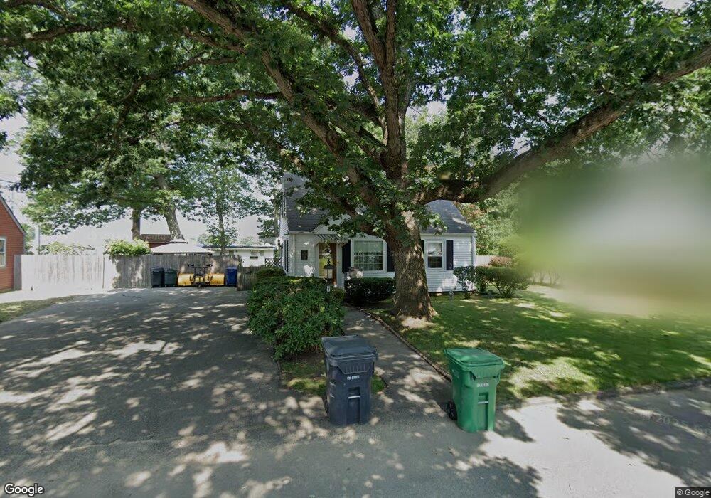
7 Airway Rd Warwick, RI 02886
Hillsgrove NeighborhoodEstimated Value: $339,673 - $359,000
3
Beds
1
Bath
1,008
Sq Ft
$345/Sq Ft
Est. Value
About This Home
This home is located at 7 Airway Rd, Warwick, RI 02886 and is currently estimated at $348,168, approximately $345 per square foot. 7 Airway Rd is a home located in Kent County with nearby schools including Nel/Cps Construction Career and St Rose Of Lima School.
Ownership History
Date
Name
Owned For
Owner Type
Purchase Details
Closed on
Jan 4, 2019
Sold by
George Clifford C
Bought by
George Clifford C and George Lynne F
Current Estimated Value
Purchase Details
Closed on
Nov 10, 2016
Sold by
George Clifford C
Bought by
George Clifford C
Home Financials for this Owner
Home Financials are based on the most recent Mortgage that was taken out on this home.
Original Mortgage
$53,000
Interest Rate
3.42%
Mortgage Type
New Conventional
Create a Home Valuation Report for This Property
The Home Valuation Report is an in-depth analysis detailing your home's value as well as a comparison with similar homes in the area
Home Values in the Area
Average Home Value in this Area
Purchase History
| Date | Buyer | Sale Price | Title Company |
|---|---|---|---|
| George Clifford C | -- | -- | |
| George Clifford C | -- | -- | |
| George Clifford C | -- | -- |
Source: Public Records
Mortgage History
| Date | Status | Borrower | Loan Amount |
|---|---|---|---|
| Previous Owner | George Clifford C | $53,000 |
Source: Public Records
Tax History
| Year | Tax Paid | Tax Assessment Tax Assessment Total Assessment is a certain percentage of the fair market value that is determined by local assessors to be the total taxable value of land and additions on the property. | Land | Improvement |
|---|---|---|---|---|
| 2025 | $3,585 | $282,300 | $98,000 | $184,300 |
| 2024 | $3,364 | $232,500 | $85,200 | $147,300 |
| 2023 | $3,299 | $232,500 | $85,200 | $147,300 |
| 2022 | $3,147 | $168,000 | $56,100 | $111,900 |
| 2021 | $3,147 | $168,000 | $56,100 | $111,900 |
| 2020 | $3,147 | $168,000 | $56,100 | $111,900 |
| 2019 | $3,147 | $168,000 | $56,100 | $111,900 |
| 2018 | $2,771 | $133,200 | $56,100 | $77,100 |
| 2017 | $2,696 | $133,200 | $56,100 | $77,100 |
| 2016 | $2,696 | $133,200 | $56,100 | $77,100 |
| 2015 | $2,482 | $119,600 | $55,400 | $64,200 |
| 2014 | $2,399 | $119,600 | $55,400 | $64,200 |
| 2013 | $2,367 | $119,600 | $55,400 | $64,200 |
Source: Public Records
Map
Nearby Homes
- 77 Kentucky Ave
- 90 Massachusetts Ave
- 165 Graystone St
- 175 Pettaconsett Ave
- 122 Edaville Ct
- 48 Rowe Ave
- 816 Williamsbug Cir Unit 816
- 10 East St Unit 316
- 143 Morse Ave
- 213 Easton Ave
- 892 Halifax Dr
- 833 Halifax Dr
- 39 Holiday Ave
- 27 Frederick St
- 6 Lillian Ct
- 22 Phillips Ave
- 1052 Post Rd
- 36 Bleachery Ct
- 115 Edman St
- 233 Palace Ave
Your Personal Tour Guide
Ask me questions while you tour the home.