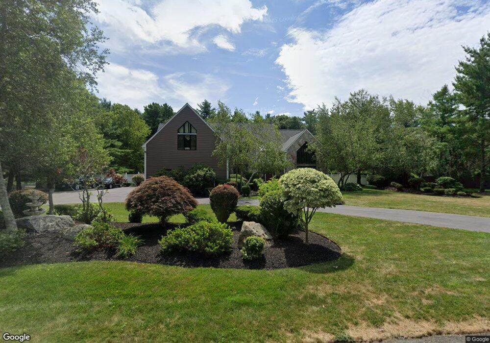
7 Albert St Canton, MA 02021
Estimated Value: $1,492,630 - $1,887,000
4
Beds
4
Baths
4,604
Sq Ft
$363/Sq Ft
Est. Value
About This Home
This home is located at 7 Albert St, Canton, MA 02021 and is currently estimated at $1,669,908, approximately $362 per square foot. 7 Albert St is a home located in Norfolk County with nearby schools including Canton High School.
Ownership History
Date
Name
Owned For
Owner Type
Purchase Details
Closed on
Apr 25, 2018
Sold by
Jones Anthony and Samuels-Jones Sharon
Bought by
Jones Sharon K Samuels
Current Estimated Value
Purchase Details
Closed on
May 5, 2004
Sold by
Vo Hung D and Vo Thuy H
Bought by
Jones Anthony and Jones Sharon S
Home Financials for this Owner
Home Financials are based on the most recent Mortgage that was taken out on this home.
Original Mortgage
$700,000
Interest Rate
5.39%
Mortgage Type
Purchase Money Mortgage
Purchase Details
Closed on
Dec 13, 2002
Sold by
Todesca Paul A and Todesca Maria C
Bought by
Vo Hung D and Vo Thuy H
Home Financials for this Owner
Home Financials are based on the most recent Mortgage that was taken out on this home.
Original Mortgage
$660,000
Interest Rate
6.17%
Mortgage Type
Purchase Money Mortgage
Create a Home Valuation Report for This Property
The Home Valuation Report is an in-depth analysis detailing your home's value as well as a comparison with similar homes in the area
Home Values in the Area
Average Home Value in this Area
Purchase History
| Date | Buyer | Sale Price | Title Company |
|---|---|---|---|
| Jones Sharon K Samuels | -- | -- | |
| Jones Anthony | $1,000,000 | -- | |
| Vo Hung D | $880,000 | -- |
Source: Public Records
Mortgage History
| Date | Status | Borrower | Loan Amount |
|---|---|---|---|
| Previous Owner | Jones Anthony | $700,000 | |
| Previous Owner | Vo Hung D | $660,000 |
Source: Public Records
Tax History
| Year | Tax Paid | Tax Assessment Tax Assessment Total Assessment is a certain percentage of the fair market value that is determined by local assessors to be the total taxable value of land and additions on the property. | Land | Improvement |
|---|---|---|---|---|
| 2025 | $13,299 | $1,344,700 | $360,500 | $984,200 |
| 2024 | $12,895 | $1,293,400 | $346,700 | $946,700 |
| 2023 | $12,188 | $1,153,100 | $346,700 | $806,400 |
| 2022 | $12,140 | $1,069,600 | $330,200 | $739,400 |
| 2021 | $11,821 | $968,900 | $300,100 | $668,800 |
| 2020 | $11,301 | $924,000 | $285,900 | $638,100 |
| 2019 | $11,327 | $913,500 | $259,800 | $653,700 |
| 2018 | $11,204 | $902,100 | $272,500 | $629,600 |
| 2017 | $11,319 | $885,000 | $267,200 | $617,800 |
| 2016 | $11,149 | $871,700 | $260,700 | $611,000 |
| 2015 | $10,785 | $841,300 | $253,100 | $588,200 |
Source: Public Records
Map
Nearby Homes
- 50 Indian Ln
- 1831 Turnpike St
- 555 Page St Unit 105
- 140 York St
- 79 Gold St
- Lot 43 Pondview Ln
- Lot 2 Pondview Ln
- 888 Turnpike St
- 6 Washington Dr
- 1 William Morrison Dr
- 43 Emily Jeffers Rd
- 47 Trowbridge Cir
- 17 Mazzeo Dr
- 19 Camelot Ct
- 195 High St
- 0 Washington St Unit 72888098
- 0 Washington St Unit 71897113
- 902 Irving Rd Unit 902
- 232 Canton St Unit 308
- 232 Canton St Unit 104
Your Personal Tour Guide
Ask me questions while you tour the home.