7 Alonzo Cain Rd Dahlonega, GA 30533
Estimated Value: $639,000 - $926,000
--
Bed
1
Bath
2,632
Sq Ft
$315/Sq Ft
Est. Value
About This Home
This home is located at 7 Alonzo Cain Rd, Dahlonega, GA 30533 and is currently estimated at $829,591, approximately $315 per square foot. 7 Alonzo Cain Rd is a home with nearby schools including Lumpkin County High School.
Ownership History
Date
Name
Owned For
Owner Type
Purchase Details
Closed on
Nov 12, 2002
Sold by
Schiedermayer Eric
Bought by
Bell William P and Bell Bonnie P
Current Estimated Value
Purchase Details
Closed on
Mar 22, 1996
Sold by
Samuels Cecil
Bought by
Schiedermayer Eric
Purchase Details
Closed on
Nov 15, 1995
Sold by
Schiedermayer Eric
Bought by
Schiedermayer Eric
Purchase Details
Closed on
Feb 22, 1985
Bought by
Schiedermayer Eric
Purchase Details
Closed on
Jul 15, 1960
Bought by
Samuels Cecil
Create a Home Valuation Report for This Property
The Home Valuation Report is an in-depth analysis detailing your home's value as well as a comparison with similar homes in the area
Home Values in the Area
Average Home Value in this Area
Purchase History
| Date | Buyer | Sale Price | Title Company |
|---|---|---|---|
| Bell William P | $285,000 | -- | |
| Bell Wiliam P | $285,000 | -- | |
| Rees 266 Llc | -- | -- | |
| Schiedermayer Eric | $8,000 | -- | |
| Schiedermayer Eric | $13,100 | -- | |
| Schiedermayer Eric | -- | -- | |
| Samuels Cecil | -- | -- |
Source: Public Records
Tax History Compared to Growth
Tax History
| Year | Tax Paid | Tax Assessment Tax Assessment Total Assessment is a certain percentage of the fair market value that is determined by local assessors to be the total taxable value of land and additions on the property. | Land | Improvement |
|---|---|---|---|---|
| 2024 | $4,981 | $394,351 | $85,986 | $308,365 |
| 2023 | $4,309 | $371,477 | $80,360 | $291,117 |
| 2022 | $4,553 | $340,818 | $66,968 | $273,850 |
| 2021 | $3,667 | $301,207 | $66,968 | $234,239 |
| 2020 | $3,625 | $293,361 | $64,172 | $229,189 |
| 2019 | $4,692 | $280,576 | $64,172 | $216,404 |
| 2018 | $4,347 | $256,784 | $64,172 | $192,612 |
| 2017 | $2,623 | $250,758 | $64,172 | $186,586 |
| 2016 | $2,110 | $229,726 | $64,172 | $165,554 |
| 2015 | $1,798 | $229,727 | $64,172 | $165,554 |
| 2014 | $1,798 | $231,936 | $64,172 | $167,764 |
| 2013 | -- | $234,884 | $64,172 | $170,711 |
Source: Public Records
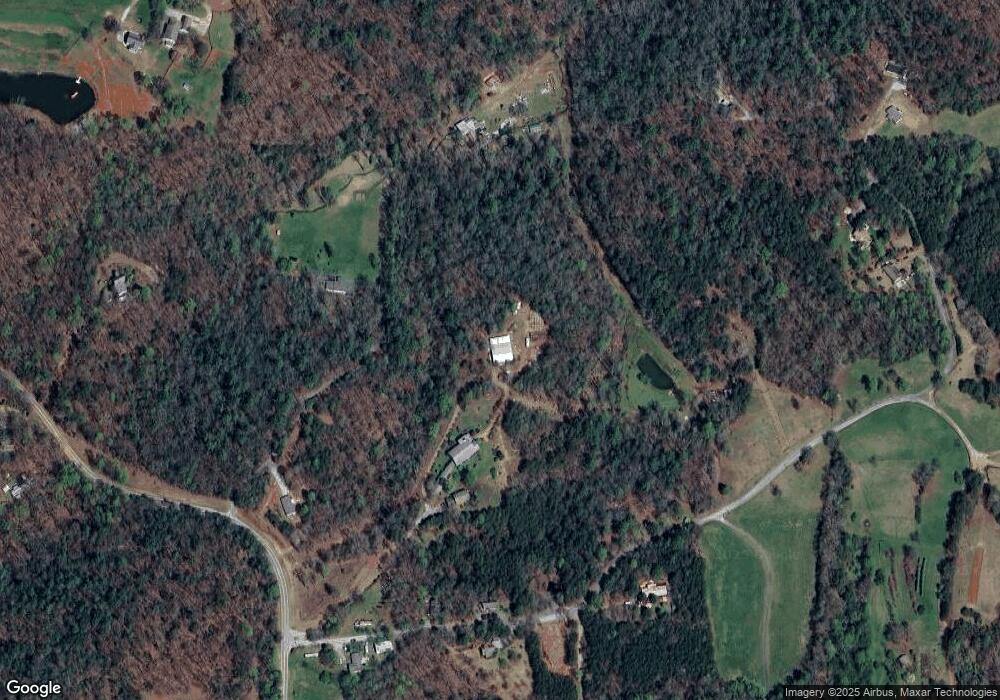
Map
Nearby Homes
- 180 Alonzo Cain Rd
- 11161 Highway 19 N
- 0 Damascus Church Rd Unit 21674636
- 0 Ts Jarrard Rd Unit Tract 3
- 133 Elkmont Dr
- 31 Pine Rd
- 134 Elkmont Dr
- 129 Pine Rd
- 412 Fireside Ridge Dr
- T S T S Jarrard Rd
- 265 Hound Dog Ln
- 124 Candy Man Ln
- 748 Damascus Church Rd
- 399 Ranch Mountain Dr
- 86 Yonah View
- 0 Stancil Dyer Rd Unit 10656125
- 2717 Damascus Church Rd
- 105 Ranch Mountain Ct
- 105 Yonah View
- 925 Horseshoe Bend Rd
- 117 Alonzo Cain Rd Unit 2A
- 117 Alonzo Cain Rd
- 89 Alonzo Cain Rd
- 40 Sweetridge Dr
- 328 Empire Dr
- 3 Alonzo Cain Rd
- 140 Alonzo Cain Rd
- 4788 Porter Springs Rd
- 175 Alonzo Cain Rd
- 645 Alonzo Cain Rd
- 395 Alonzo Cain Rd
- 0 Alonzo Cain Rd Unit 2658482
- 0 Alonzo Cain Rd Unit B 8359764
- 0 Alonzo Cain Rd Unit 6575609
- 0 Alonzo Cain Rd Unit 3-A 8549225
- 589 Alonzo Cain Rd
- 5132 Porter Springs Rd
- 184 Alonzo Cain Rd
- 508 Alonzo Cain Rd
- 4724 Porter