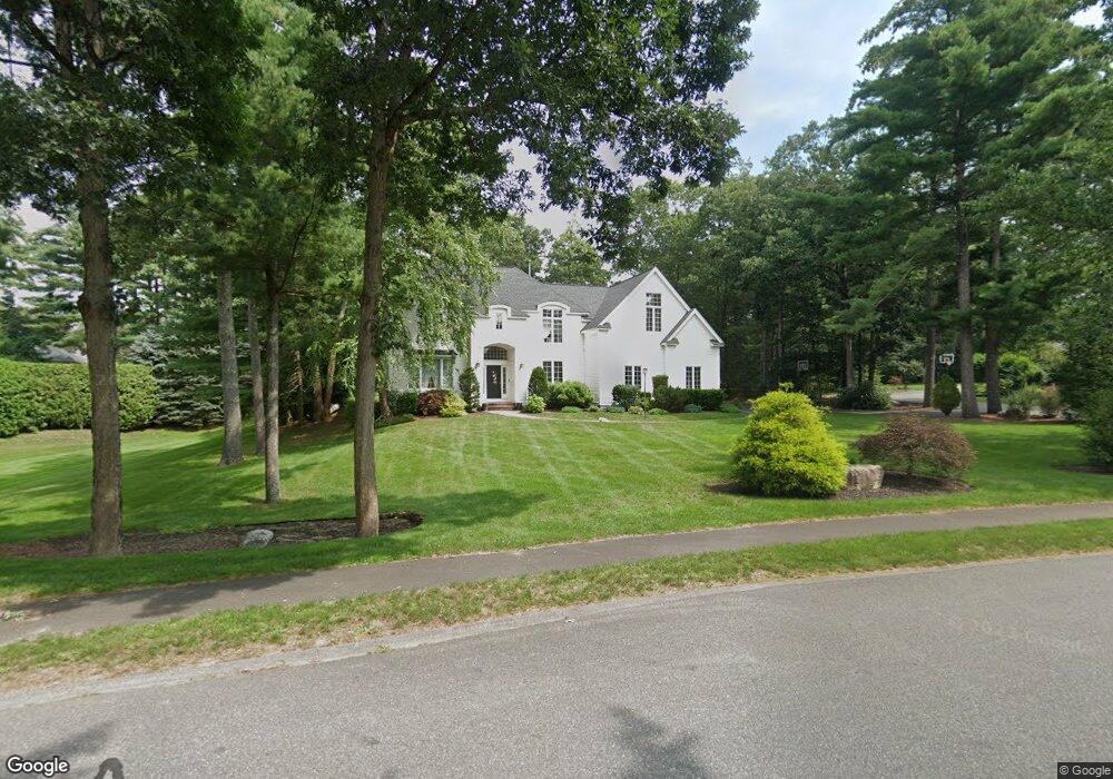
7 Amanda Rd Sudbury, MA 01776
Estimated Value: $1,834,245 - $2,127,000
4
Beds
5
Baths
5,052
Sq Ft
$394/Sq Ft
Est. Value
About This Home
This home is located at 7 Amanda Rd, Sudbury, MA 01776 and is currently estimated at $1,989,061, approximately $393 per square foot. 7 Amanda Rd is a home located in Middlesex County with nearby schools including Peter Noyes Elementary School, Ephraim Curtis Middle School, and Lincoln-Sudbury Regional High School.
Ownership History
Date
Name
Owned For
Owner Type
Purchase Details
Closed on
Jun 25, 2010
Sold by
Sudbury Town Of and Chadwick
Bought by
Suter Duncan M and Suter Hiromi
Current Estimated Value
Home Financials for this Owner
Home Financials are based on the most recent Mortgage that was taken out on this home.
Original Mortgage
$750,000
Outstanding Balance
$502,898
Interest Rate
4.98%
Mortgage Type
Purchase Money Mortgage
Estimated Equity
$1,486,163
Purchase Details
Closed on
Jul 9, 1999
Sold by
Jaeger Joseph K and Jaeger Julie M
Bought by
Chadwick Jeremy G and Chadwick Joanne E
Home Financials for this Owner
Home Financials are based on the most recent Mortgage that was taken out on this home.
Original Mortgage
$500,000
Interest Rate
7.19%
Mortgage Type
Purchase Money Mortgage
Purchase Details
Closed on
Jul 14, 1997
Sold by
R & D Homes Inc
Bought by
Jaeger Joseph K and Jaeger Julie M
Create a Home Valuation Report for This Property
The Home Valuation Report is an in-depth analysis detailing your home's value as well as a comparison with similar homes in the area
Home Values in the Area
Average Home Value in this Area
Purchase History
| Date | Buyer | Sale Price | Title Company |
|---|---|---|---|
| Suter Duncan M | $1,130,000 | -- | |
| Suter Duncan M | $1,130,000 | -- | |
| Chadwick Jeremy G | $832,500 | -- | |
| Jaeger Joseph K | $726,500 | -- |
Source: Public Records
Mortgage History
| Date | Status | Borrower | Loan Amount |
|---|---|---|---|
| Open | Suter Duncan M | $750,000 | |
| Closed | Jaeger Joseph K | $750,000 | |
| Previous Owner | Jaeger Joseph K | $500,000 |
Source: Public Records
Tax History
| Year | Tax Paid | Tax Assessment Tax Assessment Total Assessment is a certain percentage of the fair market value that is determined by local assessors to be the total taxable value of land and additions on the property. | Land | Improvement |
|---|---|---|---|---|
| 2025 | $26,823 | $1,832,200 | $626,000 | $1,206,200 |
| 2024 | $25,814 | $1,766,900 | $608,000 | $1,158,900 |
| 2023 | $24,292 | $1,540,400 | $568,400 | $972,000 |
| 2022 | $22,384 | $1,240,100 | $481,600 | $758,500 |
| 2021 | $21,474 | $1,140,400 | $481,600 | $658,800 |
| 2020 | $21,535 | $1,167,200 | $508,400 | $658,800 |
| 2019 | $20,905 | $1,167,200 | $508,400 | $658,800 |
| 2018 | $20,152 | $1,123,900 | $521,600 | $602,300 |
| 2017 | $19,200 | $1,082,300 | $485,600 | $596,700 |
| 2016 | $18,629 | $1,046,600 | $466,800 | $579,800 |
| 2015 | $18,059 | $1,026,100 | $457,600 | $568,500 |
| 2014 | $18,059 | $1,001,600 | $444,400 | $557,200 |
Source: Public Records
Map
Nearby Homes
- 30 Kendall Rd
- 53 Pine St
- 30 Rolling Ln
- 557 Dutton Rd Unit 2
- 0 Robbins Rd
- 123 Dutton Rd
- 0 Boston Post Rd
- 11 Great Lake Dr
- 15 Harness Ln
- 725 Boston Post Rd Unit 12
- 30 Harness Ln
- 62 Churchill St
- 11 October Rd
- 22 Barracks Rd Unit 22
- 11 Farmstead Ln Unit 11
- 45 Webster Cir
- 24 Woodland Rd
- 1011 Boston Post Rd
- 788 Main St
- 786 Main St
Your Personal Tour Guide
Ask me questions while you tour the home.