7 Amberwood Ct Bourne, MA 02532
Estimated Value: $701,151 - $765,000
2
Beds
2
Baths
2,045
Sq Ft
$357/Sq Ft
Est. Value
About This Home
This home is located at 7 Amberwood Ct, Bourne, MA 02532 and is currently estimated at $730,038, approximately $356 per square foot. 7 Amberwood Ct is a home located in Barnstable County with nearby schools including Bourne High School, St Margaret Regional School, and Cadence Academy Preschool - Bourne.
Ownership History
Date
Name
Owned For
Owner Type
Purchase Details
Closed on
Aug 11, 2020
Sold by
Erickson Ft 2006
Bought by
Ferreira Michael J and Ferreira Linda A
Current Estimated Value
Home Financials for this Owner
Home Financials are based on the most recent Mortgage that was taken out on this home.
Original Mortgage
$100,000
Outstanding Balance
$88,707
Interest Rate
3%
Mortgage Type
New Conventional
Estimated Equity
$641,331
Purchase Details
Closed on
Jul 28, 2011
Sold by
Brookside Residential
Bought by
2006 Erickson Ft
Home Financials for this Owner
Home Financials are based on the most recent Mortgage that was taken out on this home.
Original Mortgage
$364,000
Interest Rate
3%
Mortgage Type
Purchase Money Mortgage
Create a Home Valuation Report for This Property
The Home Valuation Report is an in-depth analysis detailing your home's value as well as a comparison with similar homes in the area
Home Values in the Area
Average Home Value in this Area
Purchase History
| Date | Buyer | Sale Price | Title Company |
|---|---|---|---|
| Ferreira Michael J | $470,000 | None Available | |
| 2006 Erickson Ft | $455,000 | -- |
Source: Public Records
Mortgage History
| Date | Status | Borrower | Loan Amount |
|---|---|---|---|
| Open | Ferreira Michael J | $100,000 | |
| Previous Owner | 2006 Erickson Ft | $364,000 |
Source: Public Records
Tax History Compared to Growth
Tax History
| Year | Tax Paid | Tax Assessment Tax Assessment Total Assessment is a certain percentage of the fair market value that is determined by local assessors to be the total taxable value of land and additions on the property. | Land | Improvement |
|---|---|---|---|---|
| 2025 | $5,151 | $659,500 | $0 | $659,500 |
| 2024 | $4,954 | $617,700 | $0 | $617,700 |
| 2023 | $4,831 | $548,400 | $0 | $548,400 |
| 2022 | $4,744 | $470,200 | $0 | $470,200 |
| 2021 | $4,842 | $449,600 | $0 | $449,600 |
| 2020 | $4,773 | $444,400 | $0 | $444,400 |
| 2019 | $4,763 | $453,200 | $0 | $453,200 |
| 2018 | $4,688 | $444,800 | $0 | $444,800 |
| 2017 | $4,756 | $461,700 | $0 | $461,700 |
| 2016 | $4,568 | $449,600 | $0 | $449,600 |
| 2015 | $4,232 | $420,300 | $0 | $420,300 |
Source: Public Records
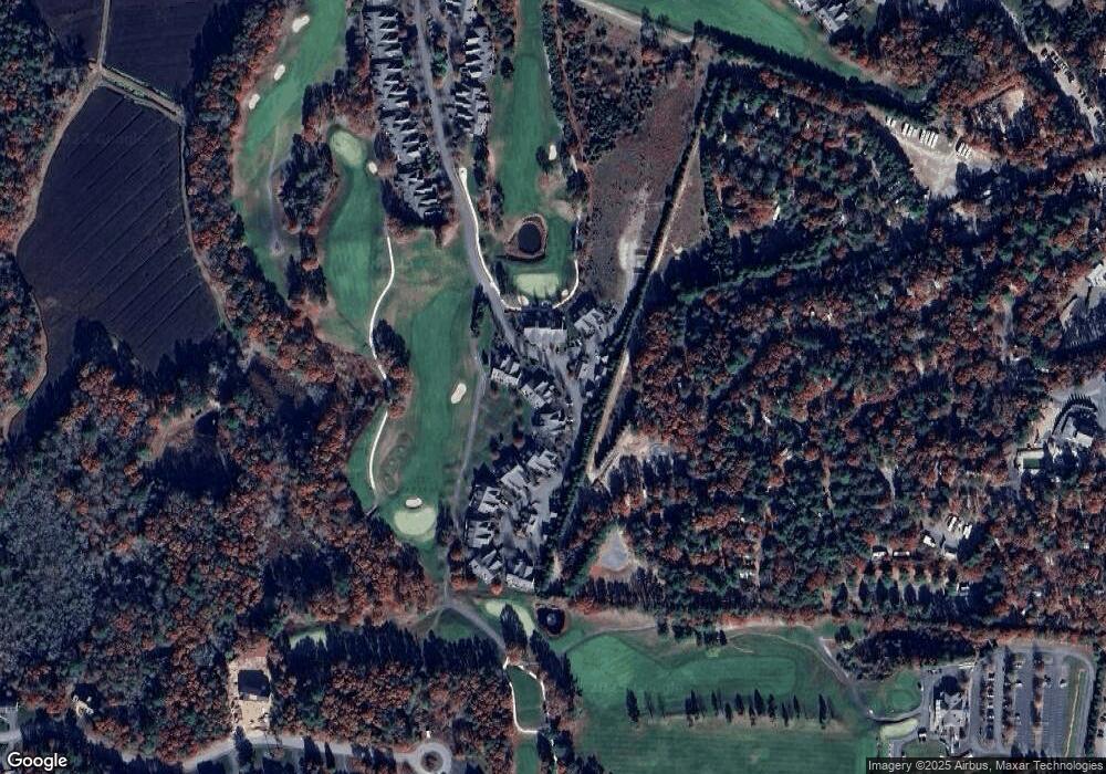
Map
Nearby Homes
- 16 Amberwood Ct
- 34 Turnberry Rd
- 12 Turnberry Rd Unit 12
- 18 Quaker Ln
- 4 Hollyhock Knoll Ct Unit 4
- 4 Hollyhock Knoll Ct Unit 4
- 1 Hollyhock Knoll Ct Unit 1
- 26 Carnoustie Rd
- 9 Sea Knoll Ct
- 5 Sea Knoll Ct
- 45 Roundhouse Rd
- 45 Round House Rd
- 232 County Rd
- 203 County Rd
- 159 Clay Pond Rd
- 13 Laurel Hill Ct
- 159 Clay Pond Rd
- 405 Village Dr
- 405 Village Dr Unit 405
- 14 Great Rock Rd
- 7 Amberwood Ct Unit 217
- 6 Amberwood Ct
- 8 Amberwood Ct Unit 218
- 9 Amberwood Ct Unit 219
- 8 Amberwood Ct Unit 218
- 8 Amberwood Ct
- 9 Amberwood Ct
- 8 Amberwood Ct
- 1 Amberwood Ct
- 2 Amberwood Ct
- 2 Amberwood Ct Unit 215
- 8 Springbrook Ct
- 4 Springbrook Ct
- 3 Springbrook Ct
- 7 Springbrook Ct
- 5 Springbrook Ct
- 6 Springbrook Ct
- 4 Amberwood Ct Unit 212
- 5 Amberwood Ct Unit 213