7 anderson way West Burleigh, NJ 08210
Estimated Value: $557,000 - $606,474
--
Bed
--
Bath
--
Sq Ft
0.86
Acres
About This Home
This home is located at 7 anderson way West, Burleigh, NJ 08210 and is currently estimated at $581,737. 7 anderson way West is a home located in Cape May County with nearby schools including Middle Township Elementary No. 1, Middle Township Elementary No. 2, and Middle Township Middle School.
Ownership History
Date
Name
Owned For
Owner Type
Purchase Details
Closed on
Sep 21, 2023
Sold by
J C M Development Llc
Bought by
R Horton Inc-New Jersey D
Current Estimated Value
Purchase Details
Closed on
Jan 14, 2022
Sold by
Ottens View Llc
Bought by
J C M Development Llc
Home Financials for this Owner
Home Financials are based on the most recent Mortgage that was taken out on this home.
Original Mortgage
$197,000
Interest Rate
3.45%
Mortgage Type
New Conventional
Purchase Details
Closed on
Aug 15, 2003
Create a Home Valuation Report for This Property
The Home Valuation Report is an in-depth analysis detailing your home's value as well as a comparison with similar homes in the area
Home Values in the Area
Average Home Value in this Area
Purchase History
| Date | Buyer | Sale Price | Title Company |
|---|---|---|---|
| R Horton Inc-New Jersey D | $228,000 | Dhi Title | |
| R Horton Inc-New Jersey D | $228,000 | Dhi Title | |
| J C M Development Llc | $282,000 | Shore Title | |
| -- | $19,000 | -- |
Source: Public Records
Mortgage History
| Date | Status | Borrower | Loan Amount |
|---|---|---|---|
| Previous Owner | J C M Development Llc | $197,000 |
Source: Public Records
Tax History Compared to Growth
Tax History
| Year | Tax Paid | Tax Assessment Tax Assessment Total Assessment is a certain percentage of the fair market value that is determined by local assessors to be the total taxable value of land and additions on the property. | Land | Improvement |
|---|---|---|---|---|
| 2025 | $768 | $351,700 | $133,700 | $218,000 |
| 2024 | $768 | $35,600 | $35,600 | $0 |
| 2023 | $745 | $35,600 | $35,600 | $0 |
| 2022 | $723 | $35,600 | $35,600 | $0 |
| 2021 | $1,346 | $35,600 | $35,600 | $0 |
| 2020 | $691 | $35,600 | $35,600 | $0 |
| 2019 | $1,346 | $71,200 | $71,200 | $0 |
| 2018 | $1,321 | $71,200 | $71,200 | $0 |
| 2017 | $1,296 | $71,200 | $71,200 | $0 |
| 2016 | $1,255 | $71,200 | $71,200 | $0 |
| 2015 | $1,246 | $71,200 | $71,200 | $0 |
| 2014 | $1,237 | $71,200 | $71,200 | $0 |
Source: Public Records
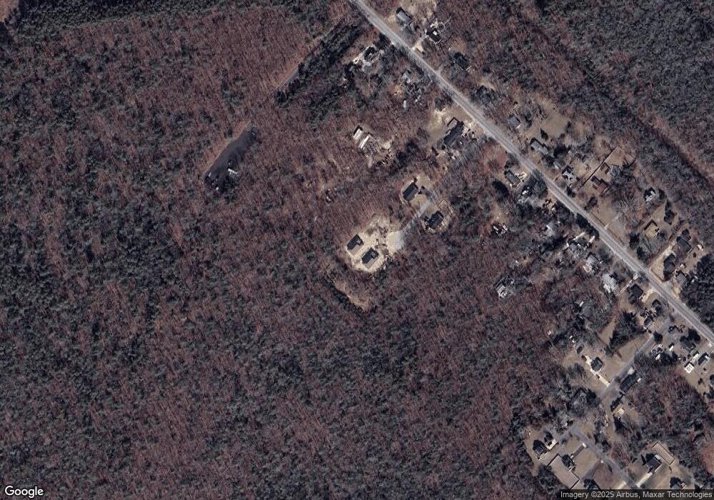
Map
Nearby Homes
- 00 Clinton Ave
- 00 Clinton
- 6 & 8 Pierces Point Rd
- 11 Harbor Crossings
- 0 Detroit Unit 232200
- 0 Detroit Unit 232199
- 390 Court House South Dennis Rd
- 23 Acorn Ln
- 83 Muirhead Ln Unit 83
- 217 Muirhead Ln
- 216 Muirhead Ln
- 218 Muirhead Ln
- Ferndale Plan at Stone Harbor Lakes - Twins
- 203 Southgate Rd Unit 203
- 311 S Dennis Rd
- 63 Siegtown Rd
- 57 Siegtown Rd
- 27 Siegtown Rd Unit 8G
- 23 Siegtown Rd Unit 7C
- 23 Siegtown #7c Rd Unit 7C
- 19 Harbor Crossings
- 4 Seaview Crossings
- 1092 & 1084 Rt 83
- 4 anderson way West
- 6 anderson way West
- 8 anderson way West
- 5 anderson way West
- US Rt 47 N & Hand Ave
- 15 Harbor Crossings
- 17 Harbor Crossings
- 3 Harbor Crossings
- 9 Harbor Crossings
- 200 Ch So Dennis
- 344 S 47
- 406 Shun Pike
- 11 E Dunbar St
- *** Emerson St
- 1804 S Route 47
- 2000 S Route 47
- 913 S Rt 47