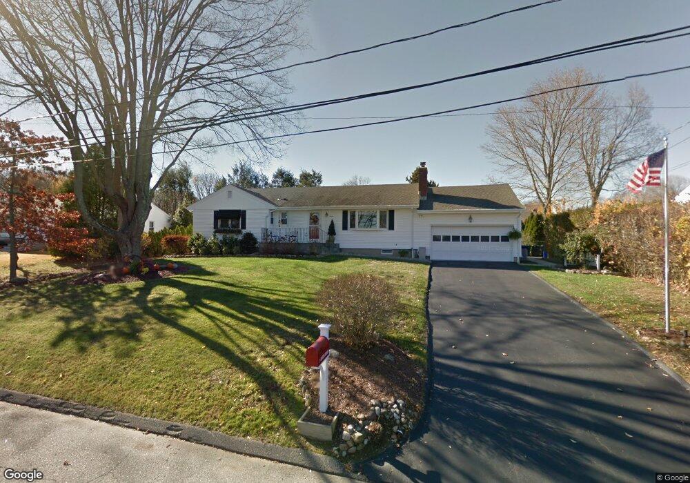
7 Anson Rd Norwalk, CT 06850
West Norwalk NeighborhoodEstimated Value: $684,000 - $769,000
3
Beds
2
Baths
1,672
Sq Ft
$433/Sq Ft
Est. Value
About This Home
This home is located at 7 Anson Rd, Norwalk, CT 06850 and is currently estimated at $723,621, approximately $432 per square foot. 7 Anson Rd is a home located in Fairfield County with nearby schools including Fox Run Elementary School, Ponus Ridge Middle School, and Brien Mcmahon High School.
Ownership History
Date
Name
Owned For
Owner Type
Purchase Details
Closed on
Aug 26, 2004
Sold by
Bondi Debra L
Bought by
Iovino Mary Louise and Iovino Michael
Current Estimated Value
Home Financials for this Owner
Home Financials are based on the most recent Mortgage that was taken out on this home.
Original Mortgage
$275,000
Interest Rate
6.02%
Create a Home Valuation Report for This Property
The Home Valuation Report is an in-depth analysis detailing your home's value as well as a comparison with similar homes in the area
Home Values in the Area
Average Home Value in this Area
Purchase History
| Date | Buyer | Sale Price | Title Company |
|---|---|---|---|
| Iovino Mary Louise | $475,000 | -- | |
| Iovino Mary Louise | $475,000 | -- |
Source: Public Records
Mortgage History
| Date | Status | Borrower | Loan Amount |
|---|---|---|---|
| Open | Iovino Mary Louise | $255,000 | |
| Closed | Iovino Mary Louise | $275,000 | |
| Previous Owner | Iovino Mary Louise | $248,000 |
Source: Public Records
Tax History
| Year | Tax Paid | Tax Assessment Tax Assessment Total Assessment is a certain percentage of the fair market value that is determined by local assessors to be the total taxable value of land and additions on the property. | Land | Improvement |
|---|---|---|---|---|
| 2025 | $8,830 | $368,760 | $171,860 | $196,900 |
| 2024 | $8,699 | $368,760 | $171,860 | $196,900 |
| 2023 | $7,733 | $307,360 | $150,380 | $156,980 |
| 2022 | $7,589 | $307,360 | $150,380 | $156,980 |
| 2021 | $7,392 | $307,360 | $150,380 | $156,980 |
| 2020 | $7,388 | $307,360 | $150,380 | $156,980 |
| 2019 | $7,181 | $307,360 | $150,380 | $156,980 |
| 2018 | $7,830 | $293,680 | $170,980 | $122,700 |
| 2017 | $7,561 | $293,670 | $170,980 | $122,690 |
| 2016 | $7,489 | $293,680 | $170,980 | $122,700 |
| 2015 | $7,468 | $293,680 | $170,980 | $122,700 |
| 2014 | $7,371 | $293,680 | $170,980 | $122,700 |
Source: Public Records
Map
Nearby Homes
- 37 Glen Ave
- 33 Purdy Rd E
- 10 Purdy Rd
- 4 Nursery St
- 1 Douglas Dr
- 80 Broad St
- 5 Tower Dr
- 153 Fillow St
- 5 Lakeview Dr
- 150 Fillow St
- 98 Comstock Hill Ave
- 115 Fillow St Unit 78
- 115 Fillow St Unit 3
- 300 Buttery Rd
- 239 Silvermine Ave
- 106A Comstock Hill Ave
- 10 Slocum St
- 17 Silk St
- 1 Linden St Unit A-9
- 58 Old Rock Ln
Your Personal Tour Guide
Ask me questions while you tour the home.