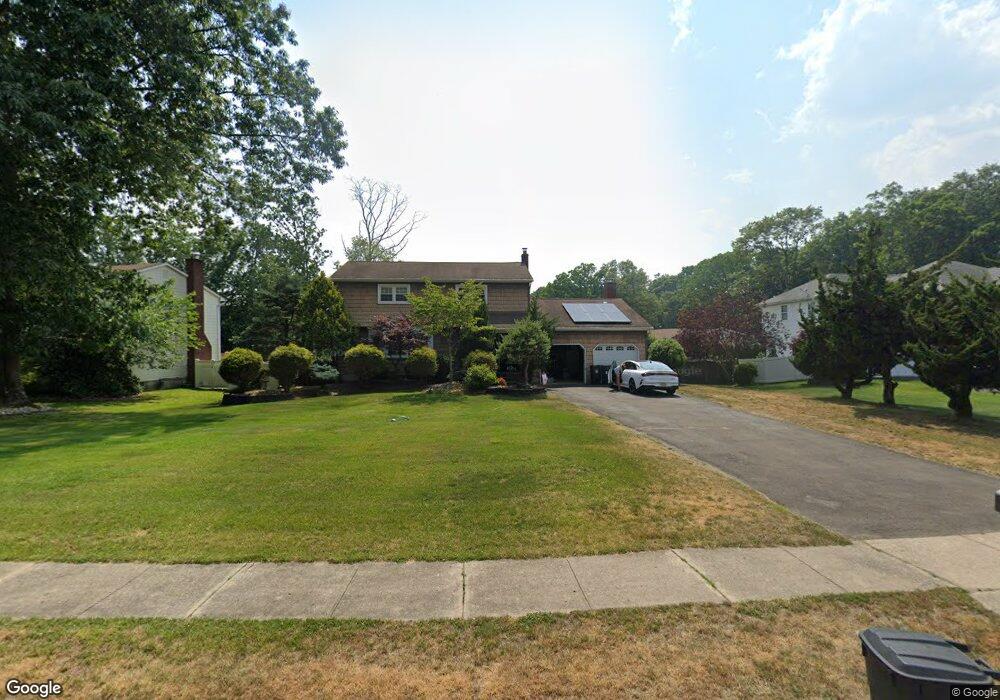
7 Apollo Rd Manalapan, NJ 07726
Estimated Value: $792,000 - $831,000
4
Beds
3
Baths
2,148
Sq Ft
$380/Sq Ft
Est. Value
About This Home
This home is located at 7 Apollo Rd, Manalapan, NJ 07726 and is currently estimated at $815,712, approximately $379 per square foot. 7 Apollo Rd is a home located in Monmouth County with nearby schools including Milford Brook Elementary School, Pine Brook Elementary School, and Manalapan-Englishtown Middle School.
Ownership History
Date
Name
Owned For
Owner Type
Purchase Details
Closed on
Sep 5, 2007
Sold by
Noto Gabriel and Noto Dawn A
Bought by
Centrone Giuseppe and Centrone Christine
Current Estimated Value
Home Financials for this Owner
Home Financials are based on the most recent Mortgage that was taken out on this home.
Original Mortgage
$230,000
Outstanding Balance
$146,068
Interest Rate
6.63%
Mortgage Type
Purchase Money Mortgage
Estimated Equity
$669,644
Purchase Details
Closed on
Nov 25, 1996
Sold by
Scala Fredrick
Bought by
Noto Gabriel and Noto Dawn
Home Financials for this Owner
Home Financials are based on the most recent Mortgage that was taken out on this home.
Original Mortgage
$160,000
Interest Rate
7.83%
Create a Home Valuation Report for This Property
The Home Valuation Report is an in-depth analysis detailing your home's value as well as a comparison with similar homes in the area
Home Values in the Area
Average Home Value in this Area
Purchase History
| Date | Buyer | Sale Price | Title Company |
|---|---|---|---|
| Centrone Giuseppe | $538,000 | Fidelity Natl Title Ins Co | |
| Noto Gabriel | $233,500 | -- |
Source: Public Records
Mortgage History
| Date | Status | Borrower | Loan Amount |
|---|---|---|---|
| Open | Centrone Giuseppe | $230,000 | |
| Previous Owner | Noto Gabriel | $160,000 |
Source: Public Records
Tax History Compared to Growth
Tax History
| Year | Tax Paid | Tax Assessment Tax Assessment Total Assessment is a certain percentage of the fair market value that is determined by local assessors to be the total taxable value of land and additions on the property. | Land | Improvement |
|---|---|---|---|---|
| 2025 | $11,185 | $719,100 | $301,300 | $417,800 |
| 2024 | $10,308 | $662,600 | $301,300 | $361,300 |
| 2023 | $10,308 | $619,500 | $301,300 | $318,200 |
| 2022 | $7,354 | $573,300 | $270,300 | $303,000 |
| 2021 | $7,354 | $466,800 | $197,300 | $269,500 |
| 2020 | $9,347 | $455,300 | $187,300 | $268,000 |
| 2019 | $9,231 | $449,200 | $187,300 | $261,900 |
| 2018 | $9,033 | $437,000 | $187,300 | $249,700 |
| 2017 | $8,807 | $426,300 | $187,300 | $239,000 |
| 2016 | $8,623 | $422,300 | $186,300 | $236,000 |
| 2015 | $9,020 | $437,000 | $207,100 | $229,900 |
| 2014 | $7,988 | $376,800 | $155,300 | $221,500 |
Source: Public Records
Map
Nearby Homes
- 70 Overlook Way Unit E
- 544 Union Hill Rd
- 1 Spruce Way
- 4 Spruce Way
- 5 Yeoman Way
- 4 Vicksburg Dr
- 34 Appomattox Dr
- 84 Amberly Dr Unit J
- 1 Vicksburg Dr
- 521 Union Hill Rd
- 519 Union Hill Rd
- 86 Arrowood Rd Unit B
- 18 Rowena Rd
- 224 Union Hill Rd
- 210 Pine Brook Rd
- 2 Wendi Way
- 50 Ivanhoe Dr
- 5 Crusade Ct
- 181 Arrowood Rd Unit D
- 167 Amberly Dr Unit H