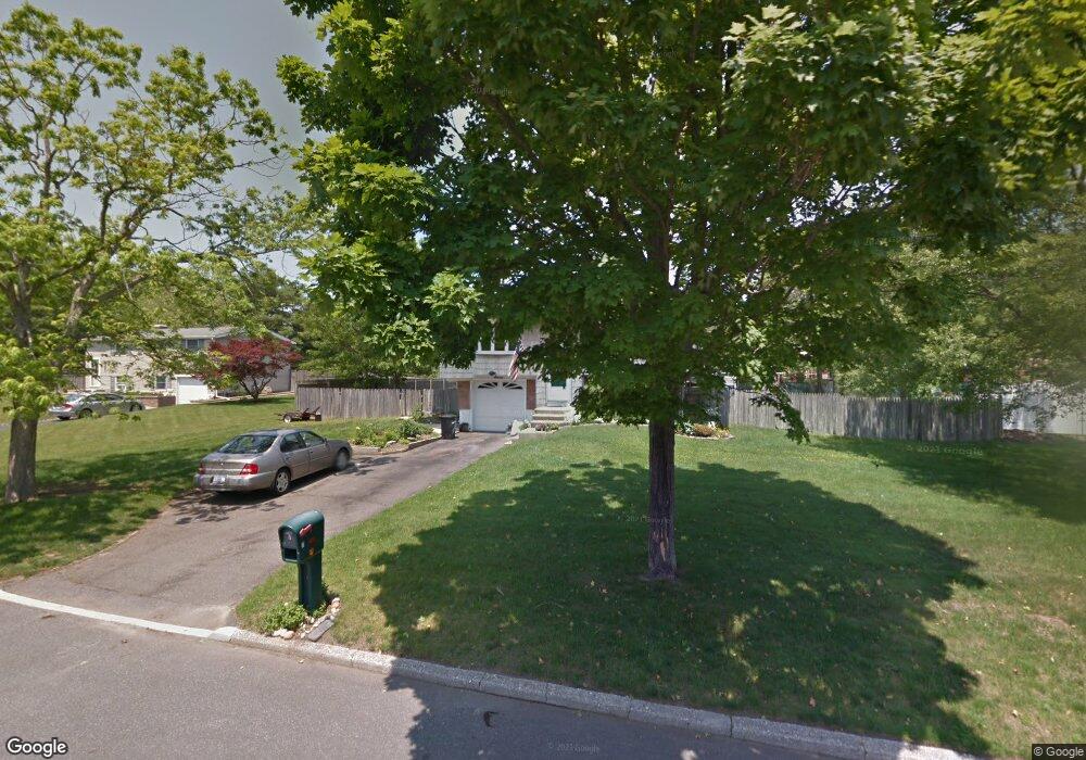
7 Arrowhead Ct S. Setauket, NY 11720
Estimated Value: $490,000 - $651,000
3
Beds
2
Baths
1,544
Sq Ft
$386/Sq Ft
Est. Value
About This Home
This home is located at 7 Arrowhead Ct, S. Setauket, NY 11720 and is currently estimated at $595,994, approximately $386 per square foot. 7 Arrowhead Ct is a home located in Suffolk County with nearby schools including Arrowhead Elementary School, Robert Cushman Murphy Junior High School, and Ward Melville Senior High School.
Ownership History
Date
Name
Owned For
Owner Type
Purchase Details
Closed on
Mar 22, 2019
Sold by
England Donna and Suffolk County Of
Bought by
Ab Scion Inc
Current Estimated Value
Purchase Details
Closed on
Aug 3, 2001
Sold by
Rotondo Glenn and Rotondo Glenn A
Bought by
Gardner David S
Home Financials for this Owner
Home Financials are based on the most recent Mortgage that was taken out on this home.
Original Mortgage
$208,500
Interest Rate
7.16%
Mortgage Type
FHA
Purchase Details
Closed on
Jan 17, 2000
Sold by
Rotondo Glenn
Bought by
Rotondo Glenn
Create a Home Valuation Report for This Property
The Home Valuation Report is an in-depth analysis detailing your home's value as well as a comparison with similar homes in the area
Home Values in the Area
Average Home Value in this Area
Purchase History
| Date | Buyer | Sale Price | Title Company |
|---|---|---|---|
| Ab Scion Inc | $256,000 | -- | |
| Gardner David S | $216,300 | First American Title Ins Co | |
| Rotondo Glenn | -- | Uslife Title Insurance Compa |
Source: Public Records
Mortgage History
| Date | Status | Borrower | Loan Amount |
|---|---|---|---|
| Previous Owner | Gardner David S | $208,500 |
Source: Public Records
Tax History Compared to Growth
Tax History
| Year | Tax Paid | Tax Assessment Tax Assessment Total Assessment is a certain percentage of the fair market value that is determined by local assessors to be the total taxable value of land and additions on the property. | Land | Improvement |
|---|---|---|---|---|
| 2024 | $10,758 | $2,525 | $300 | $2,225 |
| 2023 | $10,758 | $2,525 | $300 | $2,225 |
| 2022 | $8,431 | $2,525 | $300 | $2,225 |
| 2021 | $8,431 | $2,525 | $300 | $2,225 |
| 2020 | $8,721 | $2,525 | $300 | $2,225 |
| 2019 | $8,721 | $0 | $0 | $0 |
| 2018 | $8,263 | $2,475 | $300 | $2,175 |
| 2017 | $8,263 | $2,475 | $300 | $2,175 |
| 2016 | $8,148 | $2,475 | $300 | $2,175 |
| 2015 | -- | $2,475 | $300 | $2,175 |
| 2014 | -- | $2,475 | $300 | $2,175 |
Source: Public Records
Map
Nearby Homes
- 31 Fawn Ln W
- 72 Comerford St
- 8 Rodney St
- 9 Branch Ln
- 2 Bud Ct
- 87 Bellwood Ave
- 49 Hewes St
- 49 Hurtin St
- 8 Stalker Ln
- 46 King St
- 12 Deer Ln
- 38 Hurtin St
- 18 Cayla Ln
- 6 Rack Ln
- 460 Old Town Rd Unit 7G
- 460 Old Town Rd Unit 24E
- 460 Old Town Rd Unit 7K
- 460 Old Town Rd Unit 8H
- 460 Old Town Rd Unit 25L Upper Unit
- 460 Old Town Rd Unit 26P