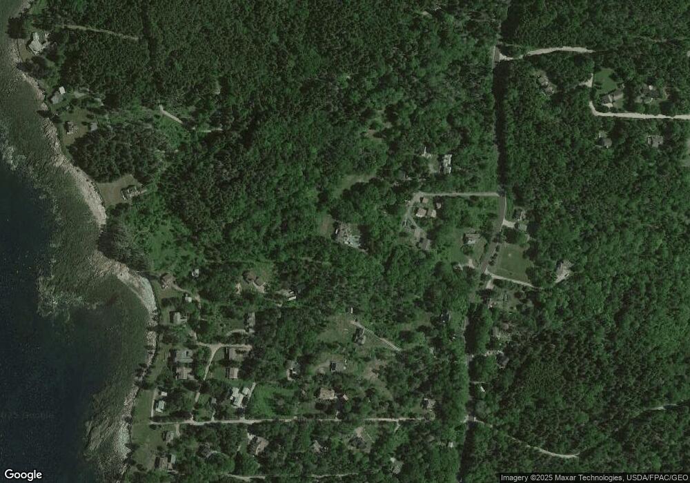
7 Arrowhead Ln Bristol, ME 04539
Estimated Value: $290,000
2
Beds
1
Bath
1,472
Sq Ft
$197/Sq Ft
Est. Value
About This Home
This home is located at 7 Arrowhead Ln, Bristol, ME 04539 and is currently priced at $290,000, approximately $197 per square foot. 7 Arrowhead Ln is a home with nearby schools including Bristol Consolidated School.
Ownership History
Date
Name
Owned For
Owner Type
Purchase Details
Closed on
Nov 1, 2021
Sold by
Gildersleeve Myrna E and Gildersleeve Myma E
Bought by
Gildersleeve Myrna E and Gildersleeve Edward J
Current Estimated Value
Home Financials for this Owner
Home Financials are based on the most recent Mortgage that was taken out on this home.
Original Mortgage
$580,000
Outstanding Balance
$527,757
Interest Rate
2.8%
Mortgage Type
Purchase Money Mortgage
Purchase Details
Closed on
Feb 8, 2016
Sold by
Baldi Susan C
Bought by
Benz Charity I
Purchase Details
Closed on
Jul 15, 2005
Sold by
Phelps Randall L and Ranes Diane H
Bought by
Baldi Susan C
Create a Home Valuation Report for This Property
The Home Valuation Report is an in-depth analysis detailing your home's value as well as a comparison with similar homes in the area
Home Values in the Area
Average Home Value in this Area
Purchase History
| Date | Buyer | Sale Price | Title Company |
|---|---|---|---|
| Gildersleeve Myrna E | -- | None Available | |
| Gildersleeve Myrna E | -- | None Available | |
| Benz Charity I | -- | -- | |
| Benz Charity I | -- | -- | |
| Baldi Susan C | -- | -- | |
| Baldi Susan C | -- | -- |
Source: Public Records
Mortgage History
| Date | Status | Borrower | Loan Amount |
|---|---|---|---|
| Open | Gildersleeve Myrna E | $580,000 | |
| Closed | Gildersleeve Myrna E | $580,000 |
Source: Public Records
Tax History
| Year | Tax Paid | Tax Assessment Tax Assessment Total Assessment is a certain percentage of the fair market value that is determined by local assessors to be the total taxable value of land and additions on the property. | Land | Improvement |
|---|---|---|---|---|
| 2024 | $2,878 | $323,400 | $93,800 | $229,600 |
| 2023 | $2,571 | $323,400 | $93,800 | $229,600 |
| 2022 | $2,285 | $317,400 | $93,800 | $223,600 |
| 2021 | $2,285 | $317,400 | $93,800 | $223,600 |
| 2020 | $2,301 | $317,400 | $93,800 | $223,600 |
| 2019 | $2,142 | $317,400 | $93,800 | $223,600 |
| 2018 | $1,984 | $317,400 | $93,800 | $223,600 |
| 2017 | $1,984 | $317,400 | $93,800 | $223,600 |
| 2016 | $2,145 | $271,500 | $101,600 | $169,900 |
| 2015 | $2,294 | $271,500 | $101,600 | $169,900 |
| 2014 | $2,145 | $271,500 | $101,600 | $169,900 |
| 2013 | $2,091 | $271,500 | $101,600 | $169,900 |
Source: Public Records
Map
Nearby Homes
- 20 Ocean Side Ln
- Lot 13 Nahanada Rd
- Lot 11 Nahanada Rd
- 2700 Bristol Rd
- 42 Old Mill Rd
- Lot 5 Jack's Ln
- Lot 4 Jack's Ln
- 69 McFarland Shore Rd
- 2593 Bristol Rd
- 5 Penniman Rd
- Lts 23A&24 Birch Island
- 82 Southside Rd
- 147 Maine 32
- 146 State Route 32
- 40 Eastwood Ct
- 36 Eastwood Ct
- Map 004 Lot 089-03
- M4 L89-E Fiske Ln
- 28 & 31 Will Alley Rd
- 0 Lockhart Cove Rd
- 21 Mavosheen Way
- 18 Sunset Hill Rd
- 01,05A,08 Arrowhead Rd
- 18 Meadow Ln
- 18 Mavosheen Way
- 3003 Bristol Rd
- 16 Sunset Hill Rd
- 2995 Bristol Rd
- 2 Mavosheen Way
- 2 Mavosheen Way
- 3007 Bristol Rd
- 4 Indian Ledge Trail
- 11 Sunset Hill Rd
- 0 Mavosheen Dr Unit 901349
- 11 Legend Hill Rd
- 23 Massasoit Dr
- 23 Massasoit Dr
- 00 Bristol Rd
- 9 Legend Hill Rd
- 21&23 Arrowhead Rd
Your Personal Tour Guide
Ask me questions while you tour the home.
