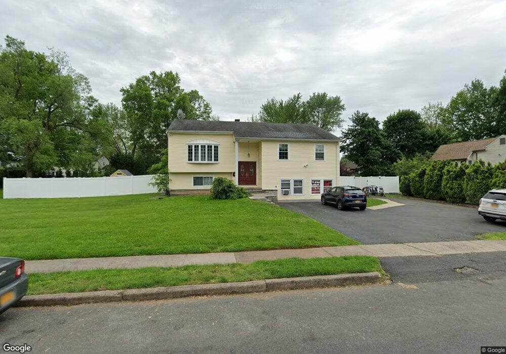
7 Ashwood Dr Blauvelt, NY 10913
Estimated Value: $685,000 - $794,000
5
Beds
4
Baths
1,538
Sq Ft
$495/Sq Ft
Est. Value
About This Home
This home is located at 7 Ashwood Dr, Blauvelt, NY 10913 and is currently estimated at $760,679, approximately $494 per square foot. 7 Ashwood Dr is a home located in Rockland County with nearby schools including Cottage Lane Elementary School, William O Schaefer Elementary School, and South Orangetown Middle School.
Ownership History
Date
Name
Owned For
Owner Type
Purchase Details
Closed on
Oct 4, 2019
Sold by
Inayat Rafiq and Inayat Jagwati
Bought by
Inayat Edward and Inayat Kim
Current Estimated Value
Purchase Details
Closed on
Jun 30, 1997
Sold by
Inayat Jagwati
Bought by
Inayat Rafiq and Inayat Jagwati
Home Financials for this Owner
Home Financials are based on the most recent Mortgage that was taken out on this home.
Original Mortgage
$64,250
Interest Rate
7.39%
Mortgage Type
Construction
Create a Home Valuation Report for This Property
The Home Valuation Report is an in-depth analysis detailing your home's value as well as a comparison with similar homes in the area
Home Values in the Area
Average Home Value in this Area
Purchase History
| Date | Buyer | Sale Price | Title Company |
|---|---|---|---|
| Inayat Edward | -- | None Available | |
| Inayat Rafiq | -- | -- |
Source: Public Records
Mortgage History
| Date | Status | Borrower | Loan Amount |
|---|---|---|---|
| Closed | Inayat Rafiq | $64,250 |
Source: Public Records
Tax History Compared to Growth
Tax History
| Year | Tax Paid | Tax Assessment Tax Assessment Total Assessment is a certain percentage of the fair market value that is determined by local assessors to be the total taxable value of land and additions on the property. | Land | Improvement |
|---|---|---|---|---|
| 2024 | $16,488 | $213,700 | $54,100 | $159,600 |
| 2023 | $16,488 | $213,700 | $54,100 | $159,600 |
| 2022 | $6,036 | $213,700 | $54,100 | $159,600 |
| 2021 | $13,240 | $213,700 | $54,100 | $159,600 |
| 2020 | $14,555 | $213,700 | $54,100 | $159,600 |
| 2019 | $5,586 | $213,700 | $54,100 | $159,600 |
| 2018 | $13,708 | $213,700 | $54,100 | $159,600 |
| 2017 | $13,329 | $213,700 | $54,100 | $159,600 |
| 2016 | $13,178 | $213,700 | $54,100 | $159,600 |
| 2015 | -- | $213,700 | $54,100 | $159,600 |
| 2014 | -- | $213,700 | $54,100 | $159,600 |
Source: Public Records
Map
Nearby Homes
- 31 Blauvelt Rd
- 2 Monsignor Brady Ct
- 28 Pvt Del Regno Ct
- 151 Burrows Ln
- 86 Derfuss Ln
- 19 Derfuss Ln
- 5 Michael Dr
- 613 Route 303
- 135 Sunset Rd
- 117 Leber Rd
- 170 Leber Rd
- 11 Fern Oval W
- 12 Blue Hill Commons Dr Unit I
- 4 Abbey Rd
- 3 Hollis St
- 8 Abbey Rd
- 775 Western Hwy
- 7 Helaine Ct
- 39 Greywood Dr
- 206 Howard Ave