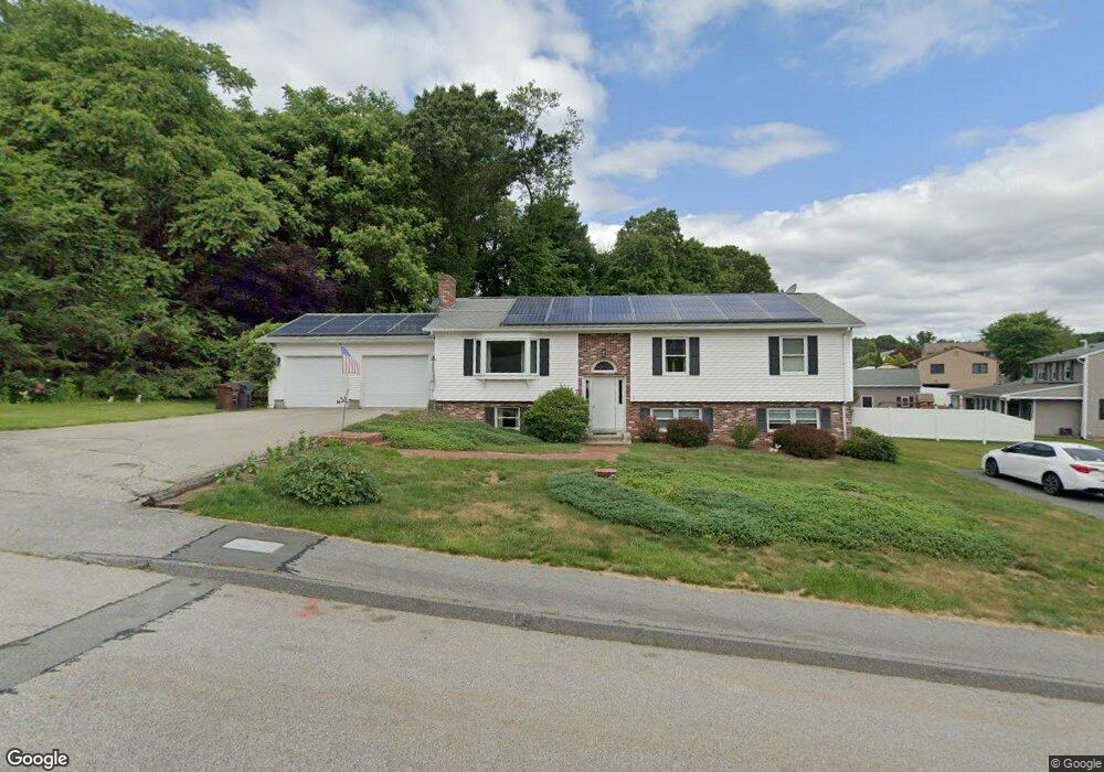
7 Auburn Hill Rd Auburn, MA 01501
Pakachoag NeighborhoodEstimated Value: $538,516 - $611,000
4
Beds
4
Baths
1,394
Sq Ft
$414/Sq Ft
Est. Value
About This Home
This home is located at 7 Auburn Hill Rd, Auburn, MA 01501 and is currently estimated at $577,379, approximately $414 per square foot. 7 Auburn Hill Rd is a home located in Worcester County with nearby schools including Auburn Senior High School and Shrewsbury Montessori School - Auburn Campus.
Ownership History
Date
Name
Owned For
Owner Type
Purchase Details
Closed on
Nov 25, 1987
Sold by
Newgem Bldrs Inc
Bought by
Moriarty Joyce
Current Estimated Value
Create a Home Valuation Report for This Property
The Home Valuation Report is an in-depth analysis detailing your home's value as well as a comparison with similar homes in the area
Home Values in the Area
Average Home Value in this Area
Purchase History
| Date | Buyer | Sale Price | Title Company |
|---|---|---|---|
| Moriarty Joyce | $192,003 | -- |
Source: Public Records
Mortgage History
| Date | Status | Borrower | Loan Amount |
|---|---|---|---|
| Open | Moriarty Joyce | $133,500 | |
| Closed | Moriarty Joyce | $15,500 | |
| Closed | Moriarty Joyce | $124,000 | |
| Closed | Moriarty Joyce | $128,000 |
Source: Public Records
Tax History Compared to Growth
Tax History
| Year | Tax Paid | Tax Assessment Tax Assessment Total Assessment is a certain percentage of the fair market value that is determined by local assessors to be the total taxable value of land and additions on the property. | Land | Improvement |
|---|---|---|---|---|
| 2025 | $71 | $496,800 | $129,200 | $367,600 |
| 2024 | $7,223 | $483,800 | $124,400 | $359,400 |
| 2023 | $6,894 | $434,100 | $113,100 | $321,000 |
| 2022 | $6,425 | $382,000 | $113,100 | $268,900 |
| 2021 | $4,496 | $345,700 | $99,900 | $245,800 |
| 2020 | $6,216 | $345,700 | $99,900 | $245,800 |
| 2019 | $6,033 | $327,500 | $99,000 | $228,500 |
| 2018 | $4,058 | $319,200 | $92,600 | $226,600 |
| 2017 | $5,610 | $305,900 | $84,000 | $221,900 |
| 2016 | $5,447 | $301,100 | $86,600 | $214,500 |
| 2015 | $5,033 | $291,600 | $86,600 | $205,000 |
| 2014 | $4,869 | $281,600 | $82,500 | $199,100 |
Source: Public Records
Map
Nearby Homes
- 22 Lesley Ave
- 3 Lower Windbrook Dr
- 2 Mystic St
- 2 Breezy Bend
- 47 Washington St Unit 26
- 29 Steele St
- 204-212 Hampton St
- 72 Sophia Dr
- 61 Elmwood St
- 10 Steele St
- 55 Tennyson St
- 557 SW Cutoff Unit 107
- 557 SW Cutoff Unit 17
- 557 SW Cutoff Unit 79
- 557 SW Cutoff Unit 35
- 30 Davenport St
- 37 Elmwood St
- 6 Newton St
- 78 Greenwood St
- 17 Thenius St
- 7 Auburn Hill Rd Unit B
- 7 Auburn Hill Rd Unit 2
- 12-14 Auburn Hill Rd
- 22 Old Farm Rd
- 21 Meadowbrook Rd
- 23 Meadowbrook Rd
- 20 Old Farm Rd
- 6 Auburn Hill Rd
- 19 Meadowbrook Rd
- 8 Auburn Hill Rd
- 4 Auburn Hill Rd
- 10 Auburn Hill Rd
- 23 Old Farm Rd
- 17 Meadowbrook Rd
- 18 Old Farm Rd
- 27 Meadowbrook Rd
- 21 Old Farm Rd
- 15 Meadowbrook Rd
- 16 Old Farm Rd
- 24 Meadowbrook Rd