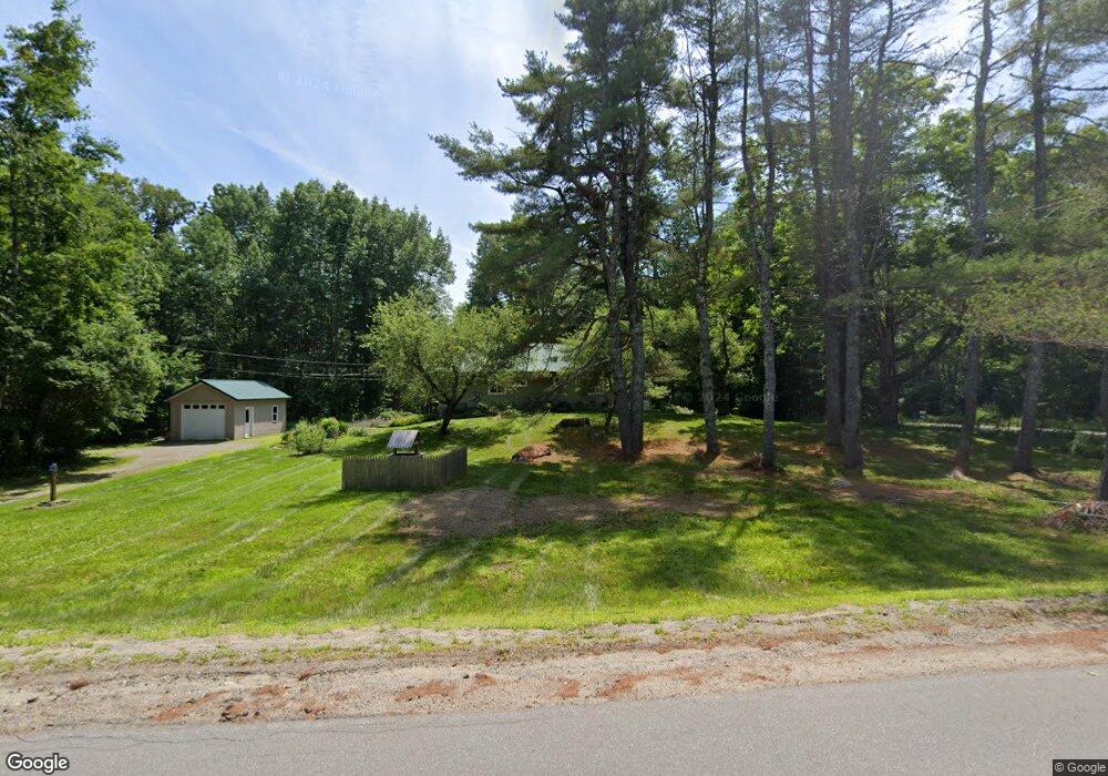
7 Bald Mountain Rd Bucksport, ME 04416
Estimated Value: $221,000 - $373,000
2
Beds
1
Bath
984
Sq Ft
$290/Sq Ft
Est. Value
About This Home
This home is located at 7 Bald Mountain Rd, Bucksport, ME 04416 and is currently estimated at $285,269, approximately $289 per square foot. 7 Bald Mountain Rd is a home with nearby schools including G. Herbert Jewett School, Miles Lane School, and Bucksport Middle School.
Ownership History
Date
Name
Owned For
Owner Type
Purchase Details
Closed on
Sep 2, 2014
Sold by
Pepin Christopher M and Pepin Jinger L
Bought by
Johannson Johanna K
Current Estimated Value
Home Financials for this Owner
Home Financials are based on the most recent Mortgage that was taken out on this home.
Original Mortgage
$77,600
Outstanding Balance
$42,855
Interest Rate
4.14%
Mortgage Type
New Conventional
Estimated Equity
$242,414
Create a Home Valuation Report for This Property
The Home Valuation Report is an in-depth analysis detailing your home's value as well as a comparison with similar homes in the area
Home Values in the Area
Average Home Value in this Area
Purchase History
| Date | Buyer | Sale Price | Title Company |
|---|---|---|---|
| Johannson Johanna K | -- | -- |
Source: Public Records
Mortgage History
| Date | Status | Borrower | Loan Amount |
|---|---|---|---|
| Open | Johannson Johanna K | $77,600 |
Source: Public Records
Tax History Compared to Growth
Tax History
| Year | Tax Paid | Tax Assessment Tax Assessment Total Assessment is a certain percentage of the fair market value that is determined by local assessors to be the total taxable value of land and additions on the property. | Land | Improvement |
|---|---|---|---|---|
| 2024 | $2,290 | $172,860 | $49,090 | $123,770 |
| 2023 | $2,204 | $172,860 | $49,090 | $123,770 |
| 2022 | $2,025 | $119,450 | $43,210 | $76,240 |
| 2021 | $1,941 | $119,450 | $43,210 | $76,240 |
| 2020 | $863 | $119,450 | $43,210 | $76,240 |
| 2019 | $1,947 | $119,450 | $43,210 | $76,240 |
| 2018 | $1,583 | $117,100 | $43,780 | $73,320 |
| 2017 | $1,898 | $115,750 | $43,310 | $72,440 |
| 2016 | $1,910 | $115,750 | $43,310 | $72,440 |
| 2015 | $1,813 | $106,000 | $43,000 | $63,000 |
| 2014 | $1,507 | $106,781 | $43,313 | $63,468 |
| 2013 | $1,448 | $106,780 | $43,310 | $63,470 |
Source: Public Records
Map
Nearby Homes
- 00 Moosehorn Dr
- Lot 005 Maine 46
- 1076 State Route 46
- 48 Bluff Rd
- M25 L12-02 Maine 46
- MAP16LOT10 Upper Long Pond Rd
- MAP15LOT56 Upper Long Pond Rd
- 1026 Bucks Mills Rd
- 51 Brookview Dr
- M 15 L 43 Brookview Dr
- 659 State Route 46
- 1548 State Route 46
- 52 Appalachian Trail
- 47 & 48 Arrow Dr
- 13 Hollow Ln
- 54 Robin Hood Cir
- 157 Craig Pond Trail
- 53 Winkumpaugh Rd
- 37 Our Camp Rd
- 38 Our Camp Rd
- 449 Mast Hill Rd
- 23 Rosens Landing
- 10 Rosens Landing
- 19 Bald Mountain Rd
- 24 Rosens Landing
- 11 Bald Mountain
- 417 Mast Hill Rd
- 494 Mast Hill Rd
- 19 Hancock Pond Rd
- 0 Moosehorn Dr Unit 1577042
- 0 Moosehorn Dr Unit 247745
- 0 Moosehorn Dr Unit 534521
- 0 Moosehorn Dr Unit 242759
- 0 Moosehorn Dr Unit 220559
- 0 Moosehorn Dr Unit 1428239
- 0 Moosehorn Dr Unit 947557
- 0 Moosehorn Dr Unit 947761
- 20 Hancock Pond Rd
- 521 Mast Hill Rd
- 531 Mast Hill Rd