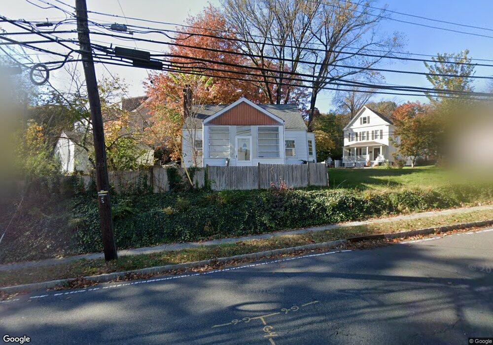
7 Baltusrol Rd Summit, NJ 07901
Estimated Value: $650,696 - $847,000
Studio
--
Bath
1,316
Sq Ft
$593/Sq Ft
Est. Value
About This Home
This home is located at 7 Baltusrol Rd, Summit, NJ 07901 and is currently estimated at $780,174, approximately $592 per square foot. 7 Baltusrol Rd is a home located in Union County with nearby schools including L C Johnson Summit Middle School, Summit Sr High School, and Oak Knoll School of the Holy Child.
Ownership History
Date
Name
Owned For
Owner Type
Purchase Details
Closed on
Oct 19, 2012
Sold by
Maleki Mani and Niazmand Afsenah
Bought by
Maleki Mani
Current Estimated Value
Home Financials for this Owner
Home Financials are based on the most recent Mortgage that was taken out on this home.
Original Mortgage
$195,000
Outstanding Balance
$136,548
Interest Rate
3.75%
Mortgage Type
Adjustable Rate Mortgage/ARM
Estimated Equity
$643,626
Purchase Details
Closed on
Jul 10, 2003
Sold by
Oldroyd Carmela
Bought by
Maleki Mani and Niazmand Afsaneh
Home Financials for this Owner
Home Financials are based on the most recent Mortgage that was taken out on this home.
Original Mortgage
$184,000
Interest Rate
5.34%
Create a Home Valuation Report for This Property
The Home Valuation Report is an in-depth analysis detailing your home's value as well as a comparison with similar homes in the area
Home Values in the Area
Average Home Value in this Area
Purchase History
| Date | Buyer | Sale Price | Title Company |
|---|---|---|---|
| Maleki Mani | -- | None Available | |
| Maleki Mani | $230,000 | -- |
Source: Public Records
Mortgage History
| Date | Status | Borrower | Loan Amount |
|---|---|---|---|
| Open | Maleki Mani | $195,000 | |
| Closed | Maleki Mani | $184,000 |
Source: Public Records
Tax History
| Year | Tax Paid | Tax Assessment Tax Assessment Total Assessment is a certain percentage of the fair market value that is determined by local assessors to be the total taxable value of land and additions on the property. | Land | Improvement |
|---|---|---|---|---|
| 2025 | $7,057 | $182,000 | $88,200 | $93,800 |
| 2024 | $7,010 | $162,000 | $88,200 | $73,800 |
| 2023 | $7,010 | $162,000 | $88,200 | $73,800 |
| 2022 | $6,938 | $162,000 | $88,200 | $73,800 |
| 2021 | $6,994 | $162,000 | $88,200 | $73,800 |
| 2020 | $7,063 | $162,000 | $88,200 | $73,800 |
| 2019 | $7,071 | $162,000 | $88,200 | $73,800 |
| 2018 | $7,026 | $162,000 | $88,200 | $73,800 |
| 2017 | $7,071 | $162,000 | $88,200 | $73,800 |
| 2016 | $6,968 | $162,000 | $88,200 | $73,800 |
| 2015 | $6,832 | $162,000 | $88,200 | $73,800 |
| 2014 | $6,655 | $162,000 | $88,200 | $73,800 |
Source: Public Records
Map
Nearby Homes
- 28 Glenside Ave
- 1 Baltusrol Place
- 80 Glenside Ave
- 133 Morris Ave
- 4 Denman Place
- 69 Elm St
- 24 Franklin Place
- 1 Irving Place
- 64 Tulip St
- 40 Prospect St
- 14 Skylark Rd
- 67 Tulip St
- 61 Tulip St
- 28 Morris Ave Unit G4
- 105 Larned Rd
- 37-39 Edison Dr
- 133 Summit Ave Unit 16A
- 8 Edison Dr
- 42 Locust Dr
- 14 Euclid Ave Unit 102
- 6 Hughes Place
- 8 Hughes Place
- 9 Baltusrol Rd
- 3 Hughes Place
- 10 Hughes Place
- 5 Hughes Place
- 1 Hughes Place
- 18 Baltusrol Rd
- 11 Baltusrol Rd Unit 13
- 1 Pearl St
- 9 Hughes Place
- 12 Hughes Place
- 32 Glenside Ave
- 30 Glenside Ave
- 6 Baltusrol Rd
- 8 Pearl St
- 11 Hughes Place
- 15 Baltusrol Rd
- 34 Glenside Ave
- 14 Hughes Place
Your Personal Tour Guide
Ask me questions while you tour the home.