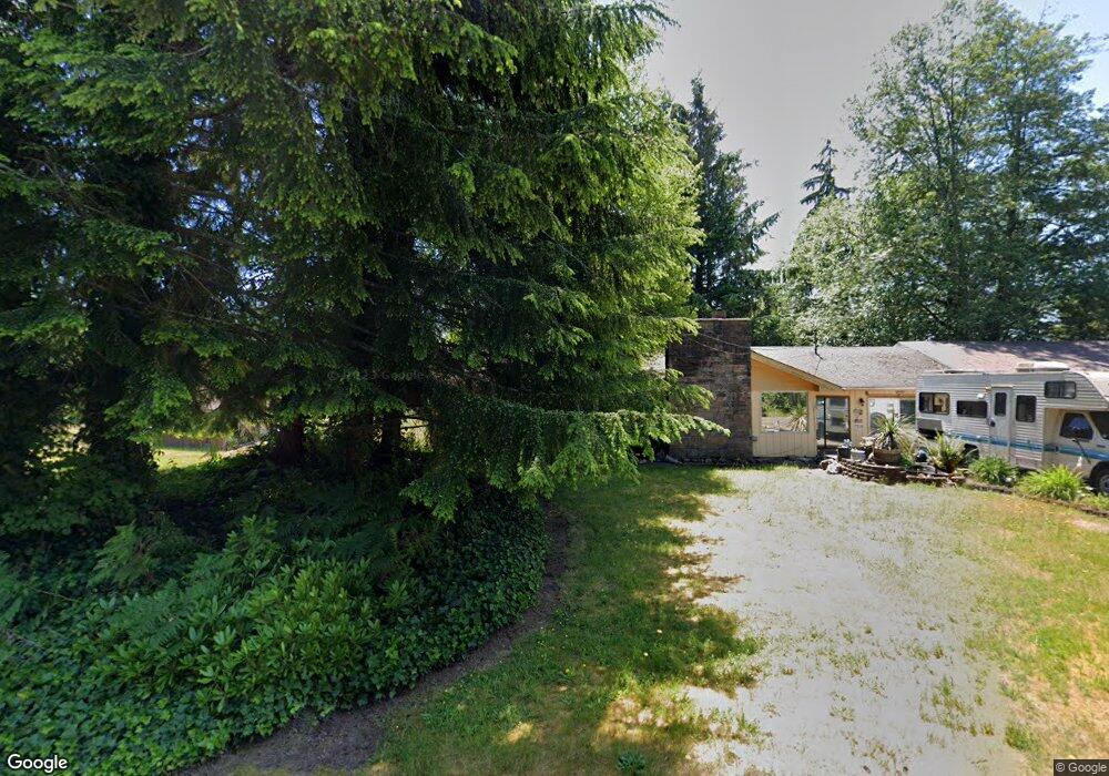
7 Barrett Rd W Montesano, WA 98563
Brady NeighborhoodEstimated Value: $295,000 - $433,793
3
Beds
2
Baths
2,060
Sq Ft
$177/Sq Ft
Est. Value
About This Home
This home is located at 7 Barrett Rd W, Montesano, WA 98563 and is currently estimated at $365,198, approximately $177 per square foot. 7 Barrett Rd W is a home located in Grays Harbor County with nearby schools including Beacon Avenue Elementary School, Simpson Avenue Elementary School, and Montesano Junior/Senior High School.
Ownership History
Date
Name
Owned For
Owner Type
Purchase Details
Closed on
Dec 14, 2007
Sold by
Pringle Paul B and Pringle Erin A
Bought by
Lictao Jerry and Lictao Rhonda
Current Estimated Value
Purchase Details
Closed on
Mar 26, 2005
Sold by
Cobain Ernest D and Cobain Kathie L
Bought by
Pringle Paul B and Pringle Erin A
Home Financials for this Owner
Home Financials are based on the most recent Mortgage that was taken out on this home.
Original Mortgage
$140,000
Interest Rate
7.25%
Mortgage Type
Adjustable Rate Mortgage/ARM
Create a Home Valuation Report for This Property
The Home Valuation Report is an in-depth analysis detailing your home's value as well as a comparison with similar homes in the area
Home Values in the Area
Average Home Value in this Area
Purchase History
| Date | Buyer | Sale Price | Title Company |
|---|---|---|---|
| Lictao Jerry | $209,900 | Grays Harbor Title | |
| Pringle Paul B | $174,673 | Coast Title |
Source: Public Records
Mortgage History
| Date | Status | Borrower | Loan Amount |
|---|---|---|---|
| Previous Owner | Pringle Paul B | $140,000 |
Source: Public Records
Tax History Compared to Growth
Tax History
| Year | Tax Paid | Tax Assessment Tax Assessment Total Assessment is a certain percentage of the fair market value that is determined by local assessors to be the total taxable value of land and additions on the property. | Land | Improvement |
|---|---|---|---|---|
| 2025 | $2,821 | $253,784 | $91,900 | $161,884 |
| 2023 | $3,438 | $315,924 | $85,058 | $230,866 |
| 2022 | $3,710 | $298,321 | $68,057 | $230,264 |
| 2021 | $3,367 | $298,321 | $68,057 | $230,264 |
| 2020 | $2,779 | $245,273 | $61,870 | $183,403 |
| 2019 | $2,594 | $200,522 | $53,800 | $146,722 |
| 2018 | $2,341 | $200,522 | $53,800 | $146,722 |
| 2017 | $2,098 | $146,685 | $35,200 | $111,485 |
| 2016 | $2,073 | $136,550 | $35,200 | $101,350 |
| 2014 | -- | $140,660 | $40,000 | $100,660 |
| 2013 | -- | $126,825 | $25,000 | $101,825 |
Source: Public Records
Map
Nearby Homes
- 13 Barrett Rd W
- 20 Barrett Rd N
- 571 Monte Elma Rd
- 573 Monte Elma Rd
- 575 Monte Elma Rd
- 213 Monte Elma Rd
- 335 Middle Satsop Rd
- 10 Coyote Rd
- 0 Lake Dr Unit NWM2394205
- 100 Simmons Rd
- 23 Garden Tracts Rd
- 180 Hemlock St
- 535 Meadow Loop
- 33 Hurd Rd
- 24 Hurd Rd
- 36 Landberg Ln
- 312 E Wilder Hill Ln
- 1190 Monte Elma Rd
- 124 N Chehalis St
- 126 S Chehalis St
- 0 Barrett Rd N
- 10 Barrett Rd W
- 9 Barrett Rd N
- 537 Monte Elma Rd
- 11 Barrett Rd N
- 531 Monte Elma Rd
- 17 Barrett Rd N
- 20 Barrett Rd W
- 20 Barrett Rd W
- 19 Barrett Rd N
- 519 Monte Elma Rd
- 526 Monte Elma Rd
- 20 Firestation Rd
- 31 Barrett Rd W
- 21 Barrett Rd N
- 23 Barrett Rd N
- 34 Barrett Rd W
- 515 Monte Elma Rd
- 31 Barrett Rd N
- 574 Monte Elma Rd