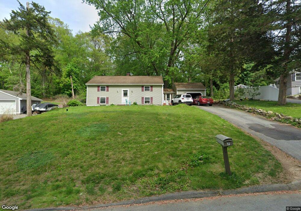
7 Barry Dr Gales Ferry, CT 06335
Gales Ferry NeighborhoodEstimated Value: $332,000 - $409,000
4
Beds
2
Baths
1,016
Sq Ft
$367/Sq Ft
Est. Value
About This Home
This home is located at 7 Barry Dr, Gales Ferry, CT 06335 and is currently estimated at $373,164, approximately $367 per square foot. 7 Barry Dr is a home located in New London County with nearby schools including Ledyard Middle School, Ledyard High School, and Academy Of St Therese.
Ownership History
Date
Name
Owned For
Owner Type
Purchase Details
Closed on
Jan 31, 1997
Sold by
Matson William R
Bought by
Ramirez Nelson
Current Estimated Value
Home Financials for this Owner
Home Financials are based on the most recent Mortgage that was taken out on this home.
Original Mortgage
$113,197
Interest Rate
7.65%
Mortgage Type
Unknown
Purchase Details
Closed on
Mar 10, 1994
Sold by
Button Luke E and Button Frances
Bought by
Usa
Purchase Details
Closed on
Sep 21, 1990
Sold by
Storz William
Bought by
Button Luke
Create a Home Valuation Report for This Property
The Home Valuation Report is an in-depth analysis detailing your home's value as well as a comparison with similar homes in the area
Home Values in the Area
Average Home Value in this Area
Purchase History
| Date | Buyer | Sale Price | Title Company |
|---|---|---|---|
| Ramirez Nelson | $109,900 | -- | |
| Usa | $122,666 | -- | |
| Button Luke | $137,000 | -- |
Source: Public Records
Mortgage History
| Date | Status | Borrower | Loan Amount |
|---|---|---|---|
| Closed | Button Luke | $153,548 | |
| Closed | Button Luke | $113,197 | |
| Previous Owner | Button Luke | $96,900 | |
| Previous Owner | Button Luke | $126,800 |
Source: Public Records
Tax History Compared to Growth
Tax History
| Year | Tax Paid | Tax Assessment Tax Assessment Total Assessment is a certain percentage of the fair market value that is determined by local assessors to be the total taxable value of land and additions on the property. | Land | Improvement |
|---|---|---|---|---|
| 2025 | $5,384 | $144,970 | $44,870 | $100,100 |
| 2024 | $5,090 | $144,550 | $44,870 | $99,680 |
| 2023 | $4,996 | $144,550 | $44,870 | $99,680 |
| 2022 | $4,889 | $144,550 | $44,870 | $99,680 |
| 2021 | $4,857 | $144,550 | $44,870 | $99,680 |
| 2020 | $5,542 | $158,480 | $55,580 | $102,900 |
| 2019 | $5,556 | $158,480 | $55,580 | $102,900 |
| 2018 | $5,434 | $158,480 | $55,580 | $102,900 |
| 2017 | $5,157 | $158,480 | $55,580 | $102,900 |
| 2016 | $5,056 | $158,480 | $55,580 | $102,900 |
| 2015 | $4,818 | $158,480 | $55,580 | $102,900 |
| 2014 | $4,635 | $151,130 | $46,970 | $104,160 |
Source: Public Records
Map
Nearby Homes
- 18 Richard Rd
- 31 Richard Rd
- 10 Crestview Dr
- 14 Patricia Ct
- 49 Inchcliffe Dr
- 4 Ledgewood Dr
- 1535 Route 12
- 3 Parkwood Dr
- 9 West Dr
- 16 Oakwood Dr
- 2 Robinhood Dr
- 14 Eagle Ridge Dr
- 21 Lincoln Dr
- 24 Queen Eleanor Dr
- 65 Eagle Ridge Dr
- 11 Queen Eleanor Dr
- 16 Marty's Way
- 59 Lathrop Rd
- 64 Scotch Cap Rd Unit 112
- 6 Ovata Dr