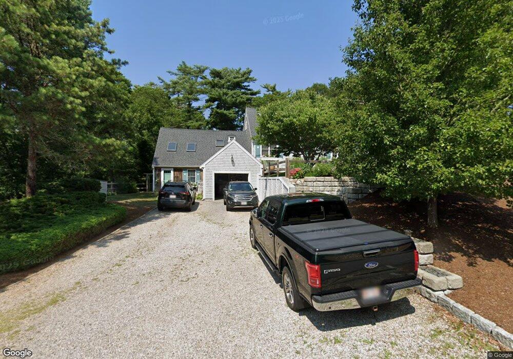
7 Beachwood Rd Bourne, MA 02532
Estimated Value: $706,000 - $807,000
3
Beds
4
Baths
2,664
Sq Ft
$291/Sq Ft
Est. Value
About This Home
This home is located at 7 Beachwood Rd, Bourne, MA 02532 and is currently estimated at $775,605, approximately $291 per square foot. 7 Beachwood Rd is a home located in Barnstable County with nearby schools including Bourne High School, St Margaret Regional School, and Cadence Academy Preschool - Bourne.
Ownership History
Date
Name
Owned For
Owner Type
Purchase Details
Closed on
Jul 31, 2001
Sold by
Deveer Eleanor R
Bought by
Weeks Robert P and Weeks Lisa A
Current Estimated Value
Purchase Details
Closed on
Jun 26, 1989
Sold by
Beechwood Ests T
Bought by
Deveer Robert L
Create a Home Valuation Report for This Property
The Home Valuation Report is an in-depth analysis detailing your home's value as well as a comparison with similar homes in the area
Home Values in the Area
Average Home Value in this Area
Purchase History
| Date | Buyer | Sale Price | Title Company |
|---|---|---|---|
| Weeks Robert P | $187,500 | -- | |
| Weeks Robert P | $187,500 | -- | |
| Deveer Robert L | $162,642 | -- |
Source: Public Records
Mortgage History
| Date | Status | Borrower | Loan Amount |
|---|---|---|---|
| Open | Deveer Robert L | $207,000 | |
| Closed | Deveer Robert L | $215,000 | |
| Closed | Deveer Robert L | $150,000 |
Source: Public Records
Tax History Compared to Growth
Tax History
| Year | Tax Paid | Tax Assessment Tax Assessment Total Assessment is a certain percentage of the fair market value that is determined by local assessors to be the total taxable value of land and additions on the property. | Land | Improvement |
|---|---|---|---|---|
| 2025 | $5,335 | $683,100 | $218,100 | $465,000 |
| 2024 | $5,217 | $650,500 | $207,700 | $442,800 |
| 2023 | $5,116 | $580,700 | $183,900 | $396,800 |
| 2022 | $4,819 | $477,600 | $162,700 | $314,900 |
| 2021 | $4,682 | $434,700 | $148,100 | $286,600 |
| 2020 | $4,452 | $414,500 | $146,700 | $267,800 |
| 2019 | $4,230 | $402,500 | $146,700 | $255,800 |
| 2018 | $4,041 | $383,400 | $139,700 | $243,700 |
| 2017 | $3,911 | $379,700 | $138,400 | $241,300 |
| 2016 | $3,799 | $373,900 | $138,400 | $235,500 |
| 2015 | $3,765 | $373,900 | $138,400 | $235,500 |
Source: Public Records
Map
Nearby Homes
- 232 County Rd
- 203 County Rd
- 45 Round House Rd
- 45 Roundhouse Rd
- 5 Lancaster Ln
- 16 Amberwood Ct
- 34 Turnberry Rd
- 5 Carl Gardner Rd
- 84 Roundhouse Rd
- 13 Laurel Hill Ct
- 26 Carnoustie Rd
- 5 Sea Knoll Ct
- 9 Sea Knoll Ct
- 4 Hollyhock Knoll Ct Unit 4
- 1 Hollyhock Knoll Ct Unit 1
- 159 Clay Pond Rd
- 159 Clay Pond Rd
- 22 Pinehurst Dr
- 14 Great Rock Rd