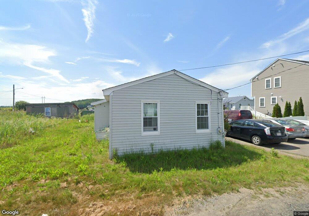
7 Belair St Saugus, MA 01906
Cliftondale NeighborhoodEstimated Value: $446,000 - $533,325
2
Beds
1
Bath
984
Sq Ft
$501/Sq Ft
Est. Value
About This Home
This home is located at 7 Belair St, Saugus, MA 01906 and is currently estimated at $493,331, approximately $501 per square foot. 7 Belair St is a home located in Essex County with nearby schools including Saugus High School and Sacred Heart School.
Ownership History
Date
Name
Owned For
Owner Type
Purchase Details
Closed on
Jun 13, 2006
Sold by
Frati Ft
Bought by
Silva Joao B
Current Estimated Value
Home Financials for this Owner
Home Financials are based on the most recent Mortgage that was taken out on this home.
Original Mortgage
$180,000
Outstanding Balance
$106,121
Interest Rate
6.62%
Mortgage Type
Purchase Money Mortgage
Estimated Equity
$387,210
Purchase Details
Closed on
May 31, 2000
Sold by
Defranzo John L and Defranzo Gail M
Bought by
Frati James and Frati Lisa
Purchase Details
Closed on
Jul 31, 1996
Sold by
Harris Marilyn I
Bought by
Defranzo John L
Create a Home Valuation Report for This Property
The Home Valuation Report is an in-depth analysis detailing your home's value as well as a comparison with similar homes in the area
Home Values in the Area
Average Home Value in this Area
Purchase History
| Date | Buyer | Sale Price | Title Company |
|---|---|---|---|
| Silva Joao B | $225,000 | -- | |
| Frati James | $150,000 | -- | |
| Defranzo John L | $70,000 | -- |
Source: Public Records
Mortgage History
| Date | Status | Borrower | Loan Amount |
|---|---|---|---|
| Open | Silva Joao B | $180,000 |
Source: Public Records
Tax History Compared to Growth
Tax History
| Year | Tax Paid | Tax Assessment Tax Assessment Total Assessment is a certain percentage of the fair market value that is determined by local assessors to be the total taxable value of land and additions on the property. | Land | Improvement |
|---|---|---|---|---|
| 2025 | $4,590 | $429,800 | $315,000 | $114,800 |
| 2024 | $4,356 | $409,000 | $297,000 | $112,000 |
| 2023 | $4,191 | $372,200 | $261,000 | $111,200 |
| 2022 | $4,047 | $337,000 | $239,400 | $97,600 |
| 2021 | $3,770 | $305,500 | $207,900 | $97,600 |
| 2020 | $3,524 | $295,600 | $198,000 | $97,600 |
| 2019 | $3,116 | $255,800 | $180,000 | $75,800 |
| 2018 | $2,842 | $245,400 | $174,600 | $70,800 |
| 2017 | $2,765 | $229,500 | $162,900 | $66,600 |
| 2016 | $2,817 | $230,900 | $162,600 | $68,300 |
| 2015 | $2,644 | $220,000 | $154,900 | $65,100 |
| 2014 | $2,399 | $206,600 | $154,900 | $51,700 |
Source: Public Records
Map
Nearby Homes
- 25 Piedmont Ave
- 28 Naples Ave
- 41-43 Seagirt Ave
- 22 Seagirt Ave
- 12 Seagirt Ave
- 9 Douglas Rd
- 6 Sim Rd Unit 1
- 18 Nason Rd
- 0 Hampton St
- 17 Elaine Ave
- 44 Ballard St
- 24 Ballard St
- 9 Spencer Ave
- 9 Oakwood Ave
- 5 Stanley Terrace
- 33 Springdale Ave
- 5 Springdale Ave
- 4 Foss Ave
- 62 Chestnut St Unit 4
- 62 Chestnut St Unit 2
- 5 Belair St Unit B
- 5 Belair St Unit A
- 26 Beachview Ave
- 4 Hewlett St
- 11 Hewlett St
- 22 Beachview Ave
- 25 Beachview Ave
- 8 Hewlett St
- 9 Winston St
- 23 Beachview Ave
- 14 Beachview Ave
- 21 Beachview Ave
- 27 Beachview Ave Unit 1
- 27 Beachview Ave
- 19 Beachview Ave Unit B
- 19 Beachview Ave Unit A
- 19 Beachview Ave Unit 19-1
- 39 Venice Ave
- 10 Winston St
- 33 Venice Ave