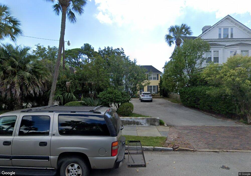
7 Bennett St Unit 12 Charleston, SC 29401
Harleston Village NeighborhoodEstimated Value: $1,056,000 - $1,446,389
3
Beds
3
Baths
2,363
Sq Ft
$528/Sq Ft
Est. Value
About This Home
This home is located at 7 Bennett St Unit 12, Charleston, SC 29401 and is currently estimated at $1,248,347, approximately $528 per square foot. 7 Bennett St Unit 12 is a home located in Charleston County with nearby schools including Memminger Elementary School, Simmons Pinckney Middle, and Burke High School.
Ownership History
Date
Name
Owned For
Owner Type
Purchase Details
Closed on
Aug 4, 2020
Sold by
Richard Boyd Family Limited Partnership
Bought by
Baldo Steven and Baldo Leah Ann
Current Estimated Value
Purchase Details
Closed on
Jul 6, 2015
Sold by
Young Thomas E
Bought by
Richard Boyd Family Limited Partnership
Home Financials for this Owner
Home Financials are based on the most recent Mortgage that was taken out on this home.
Original Mortgage
$500,000
Interest Rate
3.25%
Mortgage Type
Adjustable Rate Mortgage/ARM
Create a Home Valuation Report for This Property
The Home Valuation Report is an in-depth analysis detailing your home's value as well as a comparison with similar homes in the area
Home Values in the Area
Average Home Value in this Area
Purchase History
| Date | Buyer | Sale Price | Title Company |
|---|---|---|---|
| Baldo Steven | $640,000 | None Available | |
| Richard Boyd Family Limited Partnership | $625,000 | -- |
Source: Public Records
Mortgage History
| Date | Status | Borrower | Loan Amount |
|---|---|---|---|
| Previous Owner | Richard Boyd Family Limited Partnership | $500,000 |
Source: Public Records
Tax History Compared to Growth
Tax History
| Year | Tax Paid | Tax Assessment Tax Assessment Total Assessment is a certain percentage of the fair market value that is determined by local assessors to be the total taxable value of land and additions on the property. | Land | Improvement |
|---|---|---|---|---|
| 2024 | $11,040 | $38,400 | $0 | $0 |
| 2023 | $11,040 | $38,400 | $0 | $0 |
| 2022 | $10,239 | $38,400 | $0 | $0 |
| 2021 | $10,112 | $38,400 | $0 | $0 |
| 2020 | $3,776 | $25,200 | $0 | $0 |
| 2019 | $3,353 | $25,000 | $0 | $0 |
| 2017 | $3,234 | $25,000 | $0 | $0 |
| 2016 | $9,500 | $25,000 | $0 | $0 |
| 2015 | $2,416 | $20,660 | $0 | $0 |
| 2014 | $2,275 | $0 | $0 | $0 |
| 2011 | -- | $0 | $0 | $0 |
Source: Public Records
Map
Nearby Homes
- 109 Rutledge Ave
- 90 Bull St
- 66 Gadsden St Unit A
- 62 Gadsden St Unit A
- 80 Smith St
- 88 Smith St
- 16 Halsey St
- 20 Ogier St
- 81 Rutledge Ave
- 41 Pitt St
- 63 Montagu St Unit A
- 33 Pitt St Unit 3
- 80 Ashley Ave
- 154 Wentworth St
- 77 Pitt St
- 175 1/2 Wentworth St
- 7 Doughty St Unit F
- 68 Vanderhorst St Unit A
- 68 Vanderhorst St Unit B
- 39 Barre St
- 7 Bennett St
- 5 1/2 Bennett St
- 5 Bennett St
- 5 Bennett St
- 7 1/2 Bennett St
- 9 Bennett St
- 3 Bennett St
- 11 Bennett St
- 1 Bennett St Unit 1
- 1 Bennett St Unit 3
- 1 Bennett St Unit Lot 1
- 116 Ashley Ave
- 115 1/2 Rutledge Ave
- 114 Ashley Ave
- 100 Bull St
- 117 Rutledge Ave
- 115 Rutledge Ave Unit D
- 115 Rutledge Ave Unit C
- 115 Rutledge Ave Unit B
- 115 Rutledge Ave Unit 12