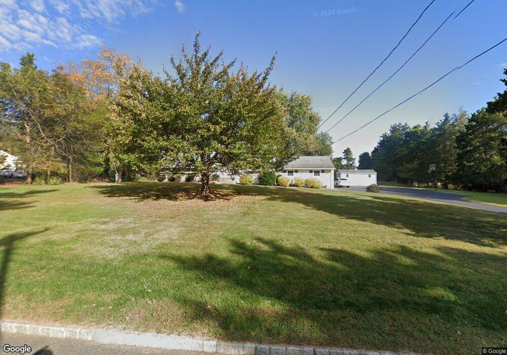
7 Bennie Rd Flemington, NJ 08822
Estimated Value: $569,371 - $630,000
--
Bed
--
Bath
1,796
Sq Ft
$335/Sq Ft
Est. Value
About This Home
This home is located at 7 Bennie Rd, Flemington, NJ 08822 and is currently estimated at $601,843, approximately $335 per square foot. 7 Bennie Rd is a home located in Hunterdon County with nearby schools including Barley Sheaf Elementary School, J.P. Case Middle School, and Reading Fleming Intermediate School.
Ownership History
Date
Name
Owned For
Owner Type
Purchase Details
Closed on
Oct 22, 2004
Sold by
Murray Daniel R and Murray Dawn M
Bought by
Stafford Glenn and Stafford Jennifer
Current Estimated Value
Home Financials for this Owner
Home Financials are based on the most recent Mortgage that was taken out on this home.
Original Mortgage
$40,500
Interest Rate
5.13%
Mortgage Type
Credit Line Revolving
Purchase Details
Closed on
Jul 1, 1998
Sold by
Weiss Wayne R
Bought by
Murray Daniel R and Murray Dawn
Home Financials for this Owner
Home Financials are based on the most recent Mortgage that was taken out on this home.
Original Mortgage
$207,000
Interest Rate
7.04%
Create a Home Valuation Report for This Property
The Home Valuation Report is an in-depth analysis detailing your home's value as well as a comparison with similar homes in the area
Home Values in the Area
Average Home Value in this Area
Purchase History
| Date | Buyer | Sale Price | Title Company |
|---|---|---|---|
| Stafford Glenn | $405,000 | -- | |
| Murray Daniel R | $230,000 | -- |
Source: Public Records
Mortgage History
| Date | Status | Borrower | Loan Amount |
|---|---|---|---|
| Closed | Stafford Glenn | $40,500 | |
| Open | Stafford Glenn | $324,000 | |
| Previous Owner | Murray Daniel R | $207,000 |
Source: Public Records
Tax History Compared to Growth
Tax History
| Year | Tax Paid | Tax Assessment Tax Assessment Total Assessment is a certain percentage of the fair market value that is determined by local assessors to be the total taxable value of land and additions on the property. | Land | Improvement |
|---|---|---|---|---|
| 2025 | $9,969 | $344,100 | $188,800 | $155,300 |
| 2024 | $9,373 | $344,100 | $188,800 | $155,300 |
| 2023 | $9,373 | $344,100 | $188,800 | $155,300 |
| 2022 | $9,136 | $344,100 | $188,800 | $155,300 |
| 2021 | $8,668 | $344,100 | $188,800 | $155,300 |
| 2020 | $8,847 | $344,100 | $188,800 | $155,300 |
| 2019 | $8,668 | $344,100 | $188,800 | $155,300 |
| 2018 | $8,561 | $344,100 | $188,800 | $155,300 |
| 2017 | $8,430 | $344,100 | $188,800 | $155,300 |
| 2016 | $8,279 | $344,100 | $188,800 | $155,300 |
| 2015 | $8,069 | $344,100 | $188,800 | $155,300 |
| 2014 | $7,962 | $344,100 | $188,800 | $155,300 |
Source: Public Records
Map
Nearby Homes
- 10 Samuel Dr
- 30 Claridge Ln
- 1 Meadow Run Way
- 1 Shady Ln
- 59 Redwood Terrace
- 18 Ridge Rd
- 23 Maple Ct
- 10 Sloan Rd
- 18 Burnett Ct
- 107 Provincetown Ct
- 6 Elm Terrace
- 405 Willow Ct
- 404 Willow Ct
- 105 Franklin Ct Unit 237
- 106 Franklin Ct Unit 238
- 276 Spruce Ct
- 111 Franklin Ct
- 31 Hancock Ct
- 15 Hancock Ct
- 15 Cedar Ct