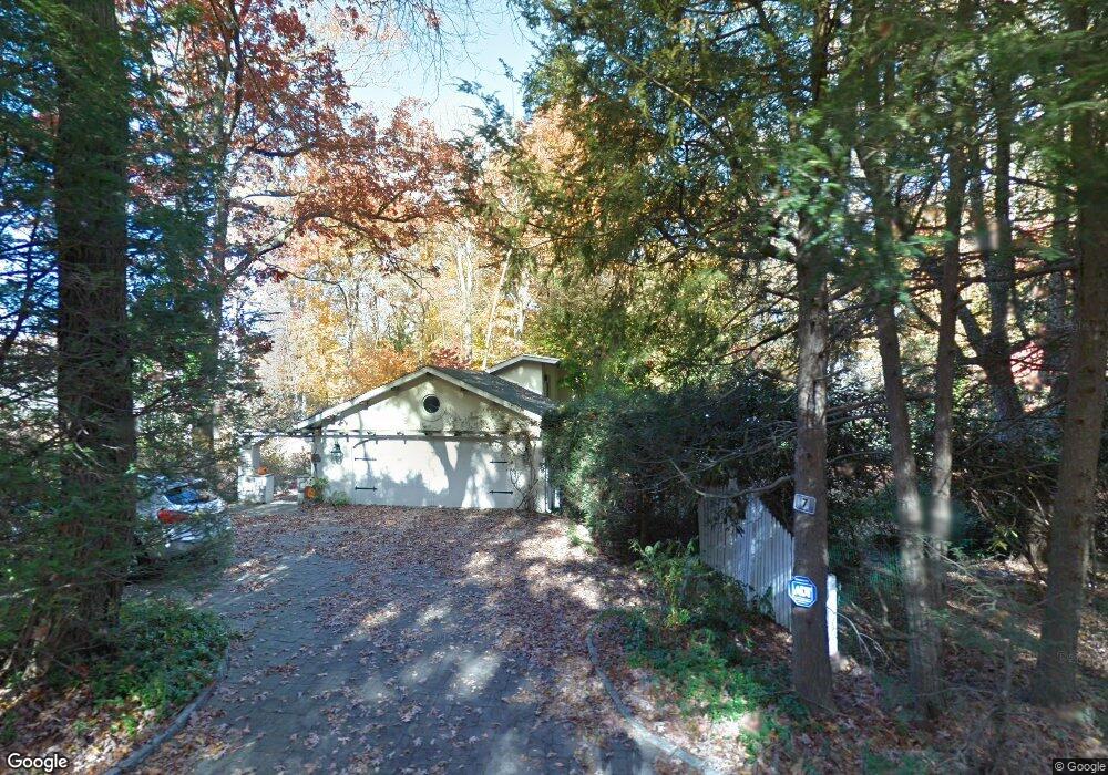
7 Berkeley Rd Westport, CT 06880
Coleytown NeighborhoodEstimated Value: $1,435,598 - $1,651,000
3
Beds
4
Baths
3,217
Sq Ft
$480/Sq Ft
Est. Value
About This Home
This home is located at 7 Berkeley Rd, Westport, CT 06880 and is currently estimated at $1,544,150, approximately $479 per square foot. 7 Berkeley Rd is a home located in Fairfield County with nearby schools including Coleytown Elementary School, Coleytown Middle School, and Staples High School.
Ownership History
Date
Name
Owned For
Owner Type
Purchase Details
Closed on
Feb 22, 2010
Sold by
Lewis-Doering Amy and Drake Anne Lewis
Bought by
Conarck Aila and Charles Conarck S
Current Estimated Value
Home Financials for this Owner
Home Financials are based on the most recent Mortgage that was taken out on this home.
Original Mortgage
$765,000
Outstanding Balance
$509,835
Interest Rate
5.17%
Estimated Equity
$1,034,315
Purchase Details
Closed on
Oct 12, 2001
Sold by
Bullock Bonita
Bought by
Lewis Stanley
Purchase Details
Closed on
Sep 15, 1998
Sold by
Plate Hans
Bought by
Bulloch Bonita
Home Financials for this Owner
Home Financials are based on the most recent Mortgage that was taken out on this home.
Original Mortgage
$495,000
Interest Rate
6.92%
Mortgage Type
Unknown
Create a Home Valuation Report for This Property
The Home Valuation Report is an in-depth analysis detailing your home's value as well as a comparison with similar homes in the area
Home Values in the Area
Average Home Value in this Area
Purchase History
| Date | Buyer | Sale Price | Title Company |
|---|---|---|---|
| Conarck Aila | $749,000 | -- | |
| Conarck Aila | $749,000 | -- | |
| Lewis Stanley | $840,000 | -- | |
| Lewis Stanley | $840,000 | -- | |
| Bulloch Bonita | $660,000 | -- | |
| Bulloch Bonita | $660,000 | -- |
Source: Public Records
Mortgage History
| Date | Status | Borrower | Loan Amount |
|---|---|---|---|
| Open | Bulloch Bonita | $765,000 | |
| Closed | Bulloch Bonita | $765,000 | |
| Previous Owner | Bulloch Bonita | $495,000 |
Source: Public Records
Tax History
| Year | Tax Paid | Tax Assessment Tax Assessment Total Assessment is a certain percentage of the fair market value that is determined by local assessors to be the total taxable value of land and additions on the property. | Land | Improvement |
|---|---|---|---|---|
| 2025 | $9,438 | $500,400 | $364,100 | $136,300 |
| 2024 | $9,317 | $500,400 | $364,100 | $136,300 |
| 2023 | $9,182 | $500,400 | $364,100 | $136,300 |
| 2022 | $9,042 | $500,400 | $364,100 | $136,300 |
| 2021 | $9,042 | $500,400 | $364,100 | $136,300 |
| 2020 | $8,571 | $569,700 | $384,400 | $185,300 |
| 2019 | $408 | $569,700 | $384,400 | $185,300 |
| 2018 | $408 | $569,700 | $384,400 | $185,300 |
| 2017 | $9,605 | $569,700 | $384,400 | $185,300 |
| 2016 | $9,605 | $569,700 | $384,400 | $185,300 |
| 2015 | $9,087 | $502,300 | $317,600 | $184,700 |
| 2014 | $9,011 | $502,300 | $317,600 | $184,700 |
Source: Public Records
Map
Nearby Homes
- 10 Charcoal Hill Rd
- 9 Greenbrier Rd
- 6 Nutcracker Ln
- 278 North Ave
- 282 North Ave
- 13 Rockyfield Rd
- 24 Warnock Dr
- 21 Warnock Dr
- 319 Bayberry Ln
- 13 Riverfield Dr
- 117 Weston Rd
- 16 Gault Park Dr
- 212 Fence Row Dr
- 475 Fence Row Dr
- 88 Merry Meet Cir
- 2177 Cross Hwy
- 53 Cross Hwy
- 30 Cavalry Rd
- 489 Main St
- 4 Good Hill Rd
Your Personal Tour Guide
Ask me questions while you tour the home.