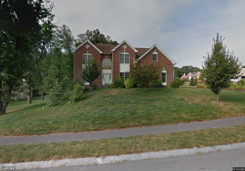
7 Beths Rd Shrewsbury, MA 01545
Estimated Value: $1,078,900 - $1,285,000
4
Beds
3
Baths
3,216
Sq Ft
$369/Sq Ft
Est. Value
About This Home
This home is located at 7 Beths Rd, Shrewsbury, MA 01545 and is currently estimated at $1,185,475, approximately $368 per square foot. 7 Beths Rd is a home located in Worcester County with nearby schools including Floral Street School, Sherwood Middle School, and Oak Middle School.
Ownership History
Date
Name
Owned For
Owner Type
Purchase Details
Closed on
Jun 15, 2004
Sold by
Franklin Farms G P Inc and Shrewsbury Hunt Lp
Bought by
Wu Chunyi and Zhou Z
Current Estimated Value
Home Financials for this Owner
Home Financials are based on the most recent Mortgage that was taken out on this home.
Original Mortgage
$300,000
Outstanding Balance
$146,553
Interest Rate
5.99%
Mortgage Type
Purchase Money Mortgage
Estimated Equity
$1,038,922
Create a Home Valuation Report for This Property
The Home Valuation Report is an in-depth analysis detailing your home's value as well as a comparison with similar homes in the area
Home Values in the Area
Average Home Value in this Area
Purchase History
| Date | Buyer | Sale Price | Title Company |
|---|---|---|---|
| Wu Chunyi | $564,190 | -- | |
| Wu Chunyi | $564,190 | -- | |
| Wu Chunyi | $564,190 | -- |
Source: Public Records
Mortgage History
| Date | Status | Borrower | Loan Amount |
|---|---|---|---|
| Open | Wu Chunyi | $300,000 | |
| Closed | Wu Chunyi | $300,000 |
Source: Public Records
Tax History Compared to Growth
Tax History
| Year | Tax Paid | Tax Assessment Tax Assessment Total Assessment is a certain percentage of the fair market value that is determined by local assessors to be the total taxable value of land and additions on the property. | Land | Improvement |
|---|---|---|---|---|
| 2025 | $116 | $960,200 | $284,600 | $675,600 |
| 2024 | $11,733 | $947,700 | $271,000 | $676,700 |
| 2023 | $10,892 | $830,200 | $271,000 | $559,200 |
| 2022 | $10,147 | $719,100 | $240,900 | $478,200 |
| 2021 | $9,031 | $684,700 | $240,900 | $443,800 |
| 2020 | $8,538 | $684,700 | $240,900 | $443,800 |
| 2019 | $8,177 | $650,500 | $230,800 | $419,700 |
| 2018 | $8,118 | $641,200 | $213,100 | $428,100 |
| 2017 | $7,785 | $606,800 | $193,000 | $413,800 |
| 2016 | $7,792 | $599,400 | $181,100 | $418,300 |
| 2015 | $7,784 | $589,700 | $162,400 | $427,300 |
Source: Public Records
Map
Nearby Homes
- 22 Adams Rd
- 7 Thoreau Cir
- 468 Grafton St
- 495 Grafton St
- 76 Hillside Dr
- 40 Adams Farm Rd
- 28 Cherry St
- 76 Grove St
- 20 Williamsburg Ct Unit 21
- 9 Heritage St
- 6 Meadowsweet Rd
- 26 Williamsburg Ct Unit 22
- 60 Harrington Farms Way Unit 60
- 43 Harriet Ave
- 10 Gleason Rd
- 26 Browne Rd
- 3 Conifer Cir Unit 29
- 15 Conifer Cir Unit 31
- 5 Conifer Cir Unit 28
- Lot 386R Clover Glen Cir