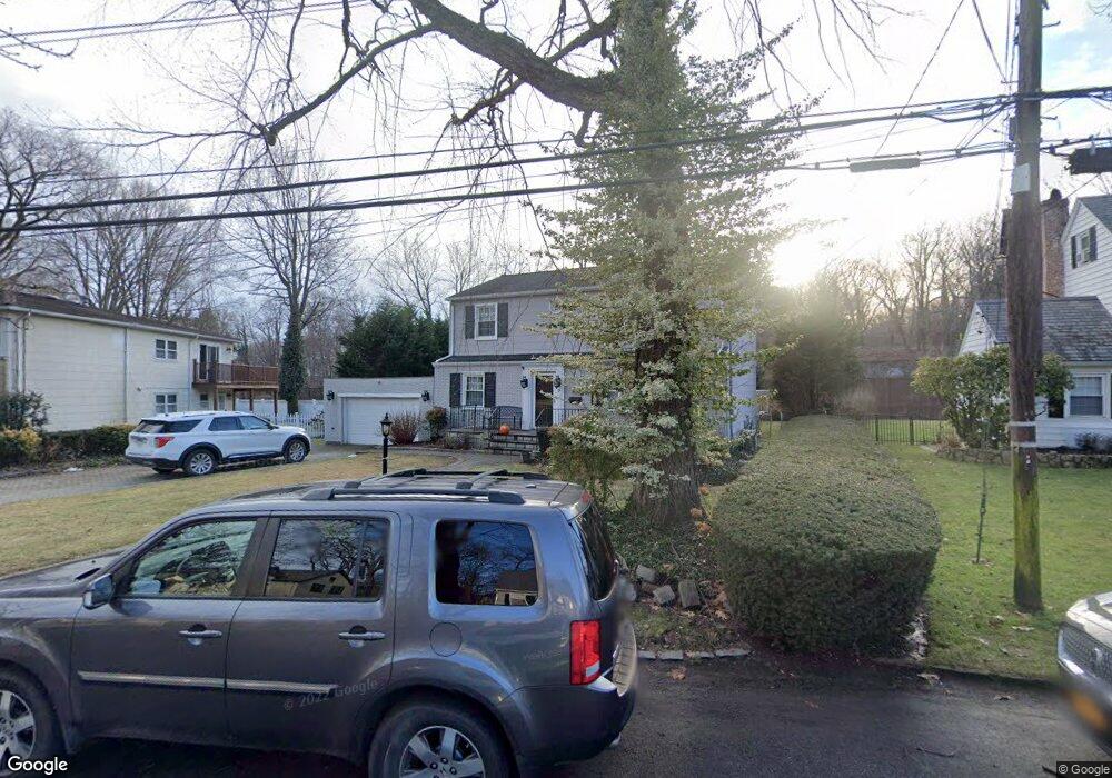
7 Birch Brook Rd Bronxville, NY 10708
Cedar Knolls NeighborhoodEstimated Value: $969,682 - $1,202,000
4
Beds
2
Baths
2,088
Sq Ft
$534/Sq Ft
Est. Value
About This Home
This home is located at 7 Birch Brook Rd, Bronxville, NY 10708 and is currently estimated at $1,114,421, approximately $533 per square foot. 7 Birch Brook Rd is a home located in Westchester County with nearby schools including St. Eugene School and Saint Joseph School.
Ownership History
Date
Name
Owned For
Owner Type
Purchase Details
Closed on
Oct 26, 2017
Sold by
Folkerts John and Folkerts Pamela T
Bought by
Folkets John
Current Estimated Value
Home Financials for this Owner
Home Financials are based on the most recent Mortgage that was taken out on this home.
Original Mortgage
$201,549
Interest Rate
3.94%
Mortgage Type
New Conventional
Purchase Details
Closed on
Jan 12, 2000
Sold by
Bellotti Maureen
Bought by
Folkerts John and Folkerts Pamela T
Create a Home Valuation Report for This Property
The Home Valuation Report is an in-depth analysis detailing your home's value as well as a comparison with similar homes in the area
Home Values in the Area
Average Home Value in this Area
Purchase History
| Date | Buyer | Sale Price | Title Company |
|---|---|---|---|
| Folkets John | -- | Freedom Abstract | |
| Folkerts John | $363,000 | National Attorneys Title Ins |
Source: Public Records
Mortgage History
| Date | Status | Borrower | Loan Amount |
|---|---|---|---|
| Previous Owner | Folkets John | $201,549 |
Source: Public Records
Tax History Compared to Growth
Tax History
| Year | Tax Paid | Tax Assessment Tax Assessment Total Assessment is a certain percentage of the fair market value that is determined by local assessors to be the total taxable value of land and additions on the property. | Land | Improvement |
|---|---|---|---|---|
| 2024 | $2,406 | $13,500 | $2,500 | $11,000 |
| 2023 | $2,393 | $13,500 | $2,500 | $11,000 |
| 2022 | $2,377 | $13,500 | $2,500 | $11,000 |
| 2021 | $10,633 | $13,500 | $2,500 | $11,000 |
| 2020 | $10,541 | $13,500 | $2,500 | $11,000 |
| 2019 | $12,596 | $13,500 | $2,500 | $11,000 |
| 2018 | $9,776 | $13,500 | $2,500 | $11,000 |
| 2017 | $0 | $13,500 | $2,500 | $11,000 |
| 2016 | $11,081 | $13,500 | $2,500 | $11,000 |
| 2015 | -- | $13,500 | $2,500 | $11,000 |
| 2014 | -- | $13,500 | $2,500 | $11,000 |
| 2013 | -- | $13,500 | $2,500 | $11,000 |
Source: Public Records
Map
Nearby Homes
- 49 Rockledge Rd Unit 12E
- 139 Ellison Ave
- 46 Dellwood Rd
- 16 Bryn Mawr Pkwy
- 764 Palmer Rd Unit 1B
- 609 Palmer Rd Unit 3M
- 609 Palmer Rd Unit 4C
- 609 Palmer Rd Unit 4J
- 632 Palmer Rd Unit 10B
- 615 Palmer Rd Unit 602
- 615 Palmer Rd Unit 102
- 9 Winchester Ave Unit 2B
- 119 Pondfield Rd W
- 611 Palmer Rd Unit 5V
- 611 Palmer Rd Unit 4Y
- 611 Palmer Rd Unit 3S
- 611 Palmer Rd Unit 5X
- 133 Pondfield Rd W Unit 2B
- 15 Sunnybrook Rd Unit 2A
- 209 Pondfield Rd W
- 1 Birch Brook Rd
- 1 Birchbrook Rd
- 13 Birch Brook Rd
- 15 Birchbrook Rd Unit AKA 50
- 155 Millard Ave
- 14 Birch Brook Rd
- 2 Birch Brook Rd
- 21 Birch Brook Rd
- 22 Birch Brook Rd
- 151 Millard Ave
- 147 Millard Ave
- 30 Birch Brook Rd
- 182 Ellison Ave
- 10 Birchbrook Rd
- 142 Millard Ave
- 24 Dellwood Cir
- 29 Birch Brook Rd
- 46 Dellwood Cir
- 25 Dellwood Cir
- 18 Dellwood Cir