7 Blackberry Ct Carmel, NY 10512
Estimated Value: $758,678 - $942,000
About This Home
This home is located at 7 Blackberry Ct, Carmel, NY 10512 and is currently estimated at $822,170, approximately $422 per square foot. 7 Blackberry Ct is a home with nearby schools including Carmel High School.
Ownership History
We collect this data history from publicly available records. To have your information removed, we recommend requesting removal directly through your county’s website.
Purchase Details
Home Financials for this Owner
Home Financials are based on the most recent Mortgage that was taken out on this home.Purchase Details
Purchase Details
Home Financials for this Owner
Home Financials are based on the most recent Mortgage that was taken out on this home.Home Values in the Area
Average Home Value in this Area
Purchase History
We collect this data history from publicly available records. To have your information removed, we recommend requesting removal directly through your county’s website.
| Date | Buyer | Sale Price | Title Company |
|---|---|---|---|
| $695,000 | Court Street Abstract Inc | ||
| -- | Court Street Abstract Inc | ||
| $775,000 | None Available | ||
| -- | -- |
Mortgage History
We collect this data history from publicly available records. To have your information removed, we recommend requesting removal directly through your county’s website.
| Date | Status | Borrower | Loan Amount |
|---|---|---|---|
| Open | $35,000 | ||
| Previous Owner | $480,000 |
Tax History
We collect this data history from publicly available records. To have your information removed, we recommend requesting removal directly through your county’s website.
| Year | Tax Paid | Tax Assessment Tax Assessment Total Assessment is a certain percentage of the fair market value that is determined by local assessors to be the total taxable value of land and additions on the property. | Land | Improvement |
|---|---|---|---|---|
| 2025 | $20,249 | $710,000 | $165,000 | $545,000 |
| 2024 | $21,967 | $478,400 | $41,800 | $436,600 |
| 2023 | $21,967 | $478,400 | $41,800 | $436,600 |
| 2022 | $20,469 | $478,400 | $41,800 | $436,600 |
| 2021 | $33,978 | $478,400 | $41,800 | $436,600 |
| 2020 | $13,671 | $478,400 | $41,800 | $436,600 |
| 2019 | $13,153 | $478,400 | $41,800 | $436,600 |
| 2018 | $12,662 | $478,400 | $41,800 | $436,600 |
| 2016 | $17,095 | $434,900 | $41,400 | $393,500 |
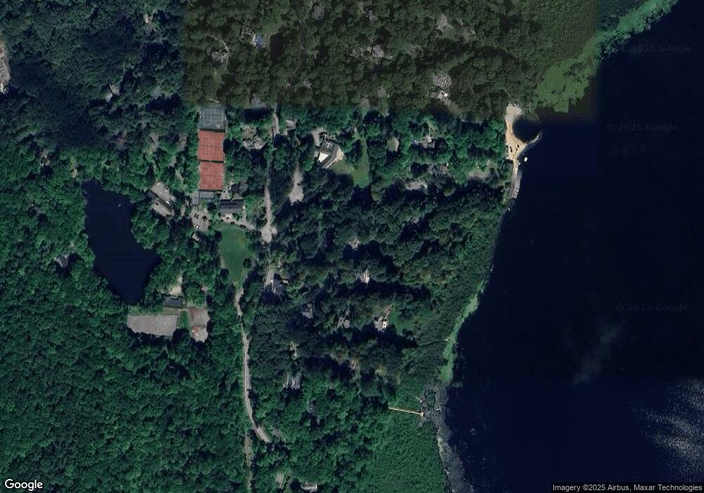
Map
- 3012 Summit Loop Unit 109
- 2077 Summit Loop Unit 102
- 2073 Summit Ln Unit 100
- 84 Chief Nimham Cir
- 60 Chief Nimham Dr
- 95 Deer Hill Ct
- 898 Gipsy Trail Rd
- Lot 20 Joseph Ct
- 94 Whangtown Rd
- 30 Smokey Hollow Ct
- 0 Ponderosa Rd Unit ONEH6295762
- 608 Farmers Mills Rd
- 184 Dykeman Rd
- 153 Kentview Dr
- 25 Ponderosa Rd
- 8 Cliff Ct
- 843 Farmers Mills Rd
- Lot 4 Laurie Ct
- 0 New York 301
- 73 Kentview Dr
- 7 Pioneer Rd
- 4 Blackberry Ct
- 52 Pine Pond Rd
- 608 Gipsy Trail Rd
- 32 Pine Pond Rd
- 15 Pioneer Rd
- 10 Pioneer Rd
- 20 Pioneer Rd
- 38 Pine Pond Rd
- 54 Pine Pond Rd
- 630 Gipsy Trail Rd
- 23 Pioneer Rd
- 0 Maynard Rd Unit 2910232
- 0 Maynard Unit 3002842
- 0 Maynard Rd Unit 3002835
- 29 Pine Pond Rd
- 21 Pine Pond Rd
- 26 Pioneer Rd
- 25 Pioneer Rd
- 638 Gipsy Trail Rd
Ask me questions while you tour the home.