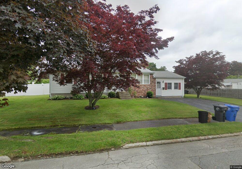
7 Bobolink Dr Cranston, RI 02920
Thornton NeighborhoodEstimated Value: $421,953 - $489,000
3
Beds
1
Bath
1,392
Sq Ft
$327/Sq Ft
Est. Value
About This Home
This home is located at 7 Bobolink Dr, Cranston, RI 02920 and is currently estimated at $455,238, approximately $327 per square foot. 7 Bobolink Dr is a home located in Providence County with nearby schools including Stone Hill School, Western Hills Middle School, and Cranston High School West.
Ownership History
Date
Name
Owned For
Owner Type
Purchase Details
Closed on
Feb 21, 2017
Sold by
Testa Carol J
Bought by
Testa Carol J and Testa Steven A
Current Estimated Value
Create a Home Valuation Report for This Property
The Home Valuation Report is an in-depth analysis detailing your home's value as well as a comparison with similar homes in the area
Home Values in the Area
Average Home Value in this Area
Purchase History
| Date | Buyer | Sale Price | Title Company |
|---|---|---|---|
| Testa Carol J | -- | -- |
Source: Public Records
Mortgage History
| Date | Status | Borrower | Loan Amount |
|---|---|---|---|
| Previous Owner | Testa Carol J | $160,000 | |
| Previous Owner | Testa Carol J | $113,000 | |
| Previous Owner | Testa Carol J | $100,000 |
Source: Public Records
Tax History
| Year | Tax Paid | Tax Assessment Tax Assessment Total Assessment is a certain percentage of the fair market value that is determined by local assessors to be the total taxable value of land and additions on the property. | Land | Improvement |
|---|---|---|---|---|
| 2025 | $4,561 | $328,600 | $120,700 | $207,900 |
| 2024 | $4,472 | $328,600 | $120,700 | $207,900 |
| 2023 | $4,668 | $247,000 | $91,300 | $155,700 |
| 2022 | $4,572 | $247,000 | $91,300 | $155,700 |
| 2021 | $4,446 | $247,000 | $91,300 | $155,700 |
| 2020 | $4,339 | $208,900 | $91,300 | $117,600 |
| 2019 | $4,339 | $208,900 | $91,300 | $117,600 |
| 2018 | $4,239 | $208,900 | $91,300 | $117,600 |
| 2017 | $3,927 | $171,200 | $73,000 | $98,200 |
| 2016 | $3,843 | $171,200 | $73,000 | $98,200 |
| 2015 | $3,843 | $171,200 | $73,000 | $98,200 |
| 2014 | $3,842 | $168,200 | $73,000 | $95,200 |
Source: Public Records
Map
Nearby Homes
- 244 Stony Acre Dr
- 46 Lake Garden Dr
- 65 Traymore St
- 51 Janet Dr
- 74 Woodside St
- 71 Elite Dr
- 75 Elite Dr
- 20 Doreen Ct
- 0 Macera Dr
- 3 Garden Vista Dr Unit 3
- 1757 Plainfield Pike
- 1603 Plainfield Pike Unit G8
- 27 Nardolillo St
- 333 Phenix Ave
- 77 Rockwood Ave
- 60 Imperial Ave
- 9 Baker St
- 00 Burton St
- 0 Phenix Ave Unit 1408504
- 5 Mill St
- 124 Quail Hollow Rd
- 201 Lake Garden Dr
- 142 Quail Hollow Rd
- 129 Quail Hollow Rd
- 135 Quail Hollow Rd
- 195 Lake Garden Dr
- 118 Quail Hollow Rd
- 123 Quail Hollow Rd
- 215 Lake Garden Dr
- 141 Quail Hollow Rd
- 150 Quail Hollow Rd
- 115 Quail Hollow Rd
- 189 Lake Garden Dr
- 120 Eagle Rd
- 116 Eagle Rd
- 110 Quail Hollow Rd
- 227 Lake Garden Dr
- 128 Eagle Rd
- 204 Lake Garden Dr
- 210 Lake Garden Dr
Your Personal Tour Guide
Ask me questions while you tour the home.