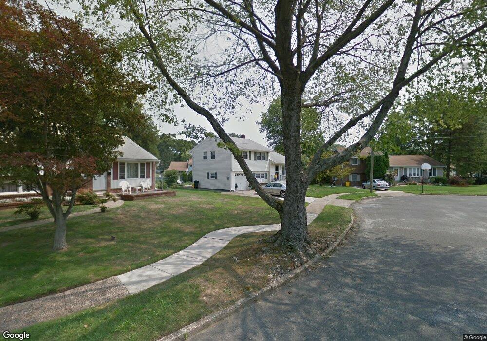
7 Briar Rd Maple Shade, NJ 08052
Estimated Value: $270,317 - $401,000
Studio
--
Bath
1,553
Sq Ft
$225/Sq Ft
Est. Value
About This Home
This home is located at 7 Briar Rd, Maple Shade, NJ 08052 and is currently estimated at $349,079, approximately $224 per square foot. 7 Briar Rd is a home located in Burlington County with nearby schools including Maude M. Wilkins Elementary School, Ralph J Steinhauer Elementary School, and Howard R Yocum School.
Ownership History
Date
Name
Owned For
Owner Type
Purchase Details
Closed on
Sep 19, 2015
Sold by
Walker Bernadette and Walker Rita Walker
Bought by
Walker Rita
Current Estimated Value
Home Financials for this Owner
Home Financials are based on the most recent Mortgage that was taken out on this home.
Interest Rate
3.91%
Purchase Details
Closed on
Jan 19, 2004
Sold by
Walker Rita
Bought by
Walker Rita and Walker Bernadette
Create a Home Valuation Report for This Property
The Home Valuation Report is an in-depth analysis detailing your home's value as well as a comparison with similar homes in the area
Home Values in the Area
Average Home Value in this Area
Purchase History
| Date | Buyer | Sale Price | Title Company |
|---|---|---|---|
| Walker Rita | -- | -- | |
| Walker Rita | -- | -- |
Source: Public Records
Mortgage History
| Date | Status | Borrower | Loan Amount |
|---|---|---|---|
| Closed | Walker Rita | -- |
Source: Public Records
Tax History
| Year | Tax Paid | Tax Assessment Tax Assessment Total Assessment is a certain percentage of the fair market value that is determined by local assessors to be the total taxable value of land and additions on the property. | Land | Improvement |
|---|---|---|---|---|
| 2025 | $6,358 | $167,500 | $51,800 | $115,700 |
| 2024 | $6,174 | $167,500 | $51,800 | $115,700 |
| 2023 | $6,174 | $167,500 | $51,800 | $115,700 |
| 2022 | $6,079 | $167,500 | $51,800 | $115,700 |
| 2021 | $5,514 | $167,500 | $51,800 | $115,700 |
| 2020 | $6,037 | $167,500 | $51,800 | $115,700 |
| 2019 | $5,816 | $167,500 | $51,800 | $115,700 |
| 2018 | $5,715 | $167,500 | $51,800 | $115,700 |
| 2017 | $5,648 | $167,500 | $51,800 | $115,700 |
| 2016 | $5,564 | $167,500 | $51,800 | $115,700 |
| 2015 | $5,444 | $167,500 | $51,800 | $115,700 |
| 2014 | $5,278 | $167,500 | $51,800 | $115,700 |
Source: Public Records
Map
Nearby Homes
- 5 Briar Rd
- 9 Briar Rd
- 16 E Woodcrest Ave
- 18 E Woodcrest Ave
- 14 E Woodcrest Ave
- 3 Briar Rd
- 20 E Woodcrest Ave
- 12 E Woodcrest Ave
- 12 Briar Rd
- 22 E Woodcrest Ave
- 5 Arlington Ave
- 7 Arlington Ave
- 6 Briar Rd
- 4 Briar Rd
- 10 Briar Rd
- 8 Briar Rd
- 10 E Woodcrest Ave
- 2 Briar Rd
- 24 E Woodcrest Ave
- 19 E Woodcrest Ave
Your Personal Tour Guide
Ask me questions while you tour the home.