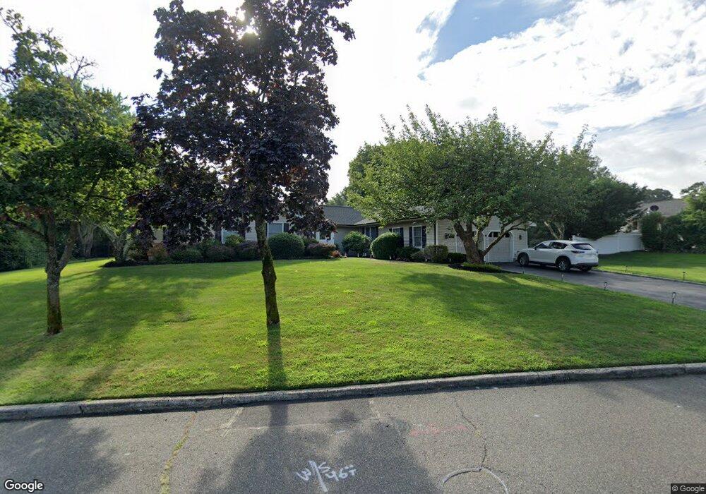
7 Bridle Path Ln Port Jefferson, NY 11777
Estimated Value: $749,000 - $863,000
4
Beds
2
Baths
2,328
Sq Ft
$345/Sq Ft
Est. Value
About This Home
This home is located at 7 Bridle Path Ln, Port Jefferson, NY 11777 and is currently estimated at $802,577, approximately $344 per square foot. 7 Bridle Path Ln is a home located in Suffolk County with nearby schools including Minnesauke Elementary School, Paul J Gelinas Junior High School, and Ward Melville Senior High School.
Ownership History
Date
Name
Owned For
Owner Type
Purchase Details
Closed on
Nov 16, 2022
Sold by
Hubbard Stephen S and Hubbard Lynne A
Bought by
Linda Sue Prop Llc
Current Estimated Value
Purchase Details
Closed on
Aug 27, 1999
Sold by
Molnar John M
Bought by
Hubbard Stephen S and Hubbard Lynne A
Home Financials for this Owner
Home Financials are based on the most recent Mortgage that was taken out on this home.
Original Mortgage
$225,000
Interest Rate
7.85%
Mortgage Type
Purchase Money Mortgage
Purchase Details
Closed on
Mar 2, 1995
Sold by
Malushizky Paul A and Malushizky Mary A
Bought by
Molnar John M
Create a Home Valuation Report for This Property
The Home Valuation Report is an in-depth analysis detailing your home's value as well as a comparison with similar homes in the area
Home Values in the Area
Average Home Value in this Area
Purchase History
| Date | Buyer | Sale Price | Title Company |
|---|---|---|---|
| Linda Sue Prop Llc | $700,000 | Misc Company | |
| Hubbard Stephen S | $285,000 | Chicago Title Insurance Co | |
| Molnar John M | $220,000 | Chicago Title |
Source: Public Records
Mortgage History
| Date | Status | Borrower | Loan Amount |
|---|---|---|---|
| Previous Owner | Hubbard Stephen S | $225,000 |
Source: Public Records
Tax History Compared to Growth
Tax History
| Year | Tax Paid | Tax Assessment Tax Assessment Total Assessment is a certain percentage of the fair market value that is determined by local assessors to be the total taxable value of land and additions on the property. | Land | Improvement |
|---|---|---|---|---|
| 2024 | $14,660 | $3,575 | $375 | $3,200 |
| 2023 | $14,660 | $3,475 | $375 | $3,100 |
| 2022 | $13,228 | $3,475 | $375 | $3,100 |
| 2021 | $13,228 | $3,475 | $375 | $3,100 |
| 2020 | $14,622 | $4,000 | $375 | $3,625 |
| 2019 | $14,622 | $0 | $0 | $0 |
| 2018 | -- | $4,000 | $375 | $3,625 |
| 2017 | $13,877 | $4,000 | $375 | $3,625 |
| 2016 | $13,679 | $4,000 | $375 | $3,625 |
| 2015 | -- | $4,000 | $375 | $3,625 |
| 2014 | -- | $4,900 | $375 | $4,525 |
Source: Public Records
Map
Nearby Homes
- 508 W Broadway
- 216 Glenwood Ln
- 127 Arlington Ave
- 106 Lowell Place
- VL Chestnut Ave
- 101 Wilson Dr
- 127 Barnum Ave
- 131 Emilys Way
- 128 Blair Rd
- 45 Shore Rd
- 0 Dark Hollow Rd
- 109 Spring St
- 5 Satterly Rd
- 105 Willis Ave
- 2 White Pine Ln
- 110 E Broadway
- 89 van Brunt Manor Rd
- 125 Bleeker St
- 2 Little Hill Rd
- 111 Campbell St