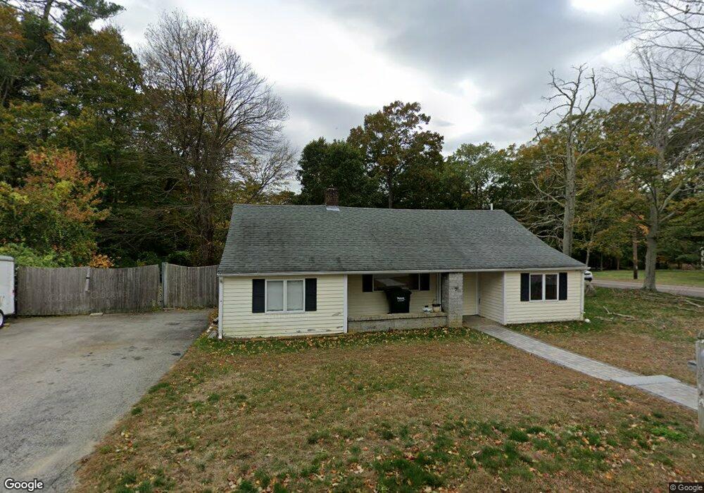
7 Broad Oak Way Hanover, MA 02339
Estimated Value: $497,000 - $763,000
3
Beds
1
Bath
1,506
Sq Ft
$394/Sq Ft
Est. Value
About This Home
This home is located at 7 Broad Oak Way, Hanover, MA 02339 and is currently estimated at $592,971, approximately $393 per square foot. 7 Broad Oak Way is a home located in Plymouth County with nearby schools including Hanover High School, Cadence Academy Preschool - Hanover, and Cardinal Cushing Centers.
Ownership History
Date
Name
Owned For
Owner Type
Purchase Details
Closed on
Oct 1, 2021
Sold by
Griffin Paul M
Bought by
7 Broad Oak Ln Rt
Current Estimated Value
Purchase Details
Closed on
Dec 31, 1997
Sold by
Jarred Robert M
Bought by
Griffin Paul M and Griffin Karen M
Purchase Details
Closed on
May 27, 1993
Sold by
Flanagan Carl T and Morrow Pauline T
Bought by
Jarred Robert M
Create a Home Valuation Report for This Property
The Home Valuation Report is an in-depth analysis detailing your home's value as well as a comparison with similar homes in the area
Home Values in the Area
Average Home Value in this Area
Purchase History
| Date | Buyer | Sale Price | Title Company |
|---|---|---|---|
| 7 Broad Oak Ln Rt | -- | None Available | |
| Griffin Paul M | $117,800 | -- | |
| Jarred Robert M | $114,000 | -- |
Source: Public Records
Mortgage History
| Date | Status | Borrower | Loan Amount |
|---|---|---|---|
| Previous Owner | Jarred Robert M | $137,500 | |
| Previous Owner | Jarred Robert M | $130,000 | |
| Previous Owner | Jarred Robert M | $35,000 | |
| Previous Owner | Jarred Robert M | $25,000 |
Source: Public Records
Tax History Compared to Growth
Tax History
| Year | Tax Paid | Tax Assessment Tax Assessment Total Assessment is a certain percentage of the fair market value that is determined by local assessors to be the total taxable value of land and additions on the property. | Land | Improvement |
|---|---|---|---|---|
| 2025 | $5,170 | $418,600 | $230,000 | $188,600 |
| 2024 | $5,375 | $418,600 | $230,000 | $188,600 |
| 2023 | $4,940 | $366,200 | $209,100 | $157,100 |
| 2022 | $4,901 | $321,400 | $198,700 | $122,700 |
| 2021 | $4,705 | $288,100 | $161,600 | $126,500 |
| 2020 | $4,797 | $294,100 | $171,100 | $123,000 |
| 2019 | $4,595 | $280,000 | $171,100 | $108,900 |
| 2018 | $4,482 | $275,300 | $171,100 | $104,200 |
| 2017 | $4,237 | $256,500 | $163,700 | $92,800 |
| 2016 | $4,075 | $241,700 | $148,900 | $92,800 |
| 2015 | $3,545 | $219,500 | $137,900 | $81,600 |
Source: Public Records
Map
Nearby Homes
- 16 Broad Oak Way
- 186 Elm St
- 180 Elm St
- 28 Old Shipyard Ln
- 20 Meadow Brook Rd
- 55 Shipyard Ln
- 26 Church St
- 14 Longwood Ln Unit 14
- 172 Washington St
- 114 Graham Hill Dr
- 133 Brigantine Cir
- 7 Farmside Dr
- 46 Lorna Ave
- 261 Washington St
- 265 Silver St
- 218 Schoosett St
- 250 Center St
- 51 Cervelli Farm Dr
- 37 Dr
- 23 Cervelli Farm Dr
- 15 Broad Oak Way
- 262 Broadway
- 280 Broadway
- 273 Broadway
- 22 Broad Oak Way
- 22 Broad Oak Way Unit B
- 22 Broad Oak Way Unit A
- 254 Broadway
- 254 Broadway Unit 1
- 255 Broadway
- 37 Broad Oak Way
- 292 Broadway
- 287 Broadway
- 45 Broad Oak Way
- 248 Broadway
- 279 Broadway
- 53 Broad Oak Way
- 299 Broadway
- 304 Broadway
- 61 Broad Oak Way