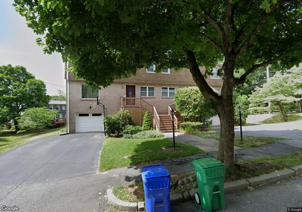
7 Broadlawn Park Chestnut Hill, MA 02467
Oak Hill NeighborhoodEstimated Value: $849,000 - $948,000
3
Beds
3
Baths
1,680
Sq Ft
$542/Sq Ft
Est. Value
About This Home
This home is located at 7 Broadlawn Park, Chestnut Hill, MA 02467 and is currently estimated at $910,061, approximately $541 per square foot. 7 Broadlawn Park is a home located in Middlesex County with nearby schools including Memorial Spaulding Elementary School, Oak Hill Middle School, and Newton South High School.
Ownership History
Date
Name
Owned For
Owner Type
Purchase Details
Closed on
Mar 23, 2005
Sold by
Cohen June A
Bought by
Furman Michael
Current Estimated Value
Home Financials for this Owner
Home Financials are based on the most recent Mortgage that was taken out on this home.
Original Mortgage
$368,000
Outstanding Balance
$185,948
Interest Rate
5.56%
Mortgage Type
Purchase Money Mortgage
Estimated Equity
$724,113
Create a Home Valuation Report for This Property
The Home Valuation Report is an in-depth analysis detailing your home's value as well as a comparison with similar homes in the area
Home Values in the Area
Average Home Value in this Area
Purchase History
| Date | Buyer | Sale Price | Title Company |
|---|---|---|---|
| Furman Michael | $460,000 | -- |
Source: Public Records
Mortgage History
| Date | Status | Borrower | Loan Amount |
|---|---|---|---|
| Open | Furman Michael | $368,000 |
Source: Public Records
Tax History Compared to Growth
Tax History
| Year | Tax Paid | Tax Assessment Tax Assessment Total Assessment is a certain percentage of the fair market value that is determined by local assessors to be the total taxable value of land and additions on the property. | Land | Improvement |
|---|---|---|---|---|
| 2025 | $8,019 | $818,300 | $0 | $818,300 |
| 2024 | $7,754 | $794,500 | $0 | $794,500 |
| 2023 | $7,566 | $743,200 | $0 | $743,200 |
| 2022 | $7,446 | $707,800 | $0 | $707,800 |
| 2021 | $7,184 | $667,700 | $0 | $667,700 |
| 2020 | $6,971 | $667,700 | $0 | $667,700 |
| 2019 | $6,775 | $648,300 | $0 | $648,300 |
| 2018 | $6,774 | $626,100 | $0 | $626,100 |
| 2017 | $6,569 | $590,700 | $0 | $590,700 |
| 2016 | $6,283 | $552,100 | $0 | $552,100 |
| 2015 | $6,105 | $525,800 | $0 | $525,800 |
Source: Public Records
Map
Nearby Homes
- 44 Broadlawn Park Unit 22
- 64 Bryon Rd Unit 1
- 57 Broadlawn Park Unit 4B
- 21 Westgate Rd Unit 6
- 42 Bryon Rd Unit 6
- 23 Westgate Rd Unit 6
- 109 Harwich Rd
- 70 Pond Brook Rd
- 14 Rolling Ln
- 1206 Lagrange St Unit 1206
- 1206 Lagrange St
- 72 Wallis Rd
- 931 Lagrange St
- 1125 W Roxbury Pkwy
- 139 Newfield St
- 701 Vfw Pkwy
- 173 South St
- 50 Bellingham Rd
- 845 Lagrange St Unit 4
- 63 Drumlin Rd
- 5 Broadlawn Park
- 5 Broadlawn Park Unit 410
- 10 Broadlawn Park
- 17 Broadlawn Park
- 19 Broadlawn Park
- 19 Broadlawn Park Unit B
- 206 Lagrange St
- 204 Lagrange St
- 204 Lagrange St Unit 15A
- 206 Lagrange St Unit 206
- 206 Lagrange St Unit 1
- 8 Broadlawn Park
- 4 Broadlawn Dr
- 14 Broadlawn Park Unit 16
- 17 Broadlawn Dr
- 15 Broadlawn Dr
- 188 Lagrange St
- 22 Broadlawn Park Unit 24
- 22 Broadlawn Park Unit 1
- 22 Broadlawn Park