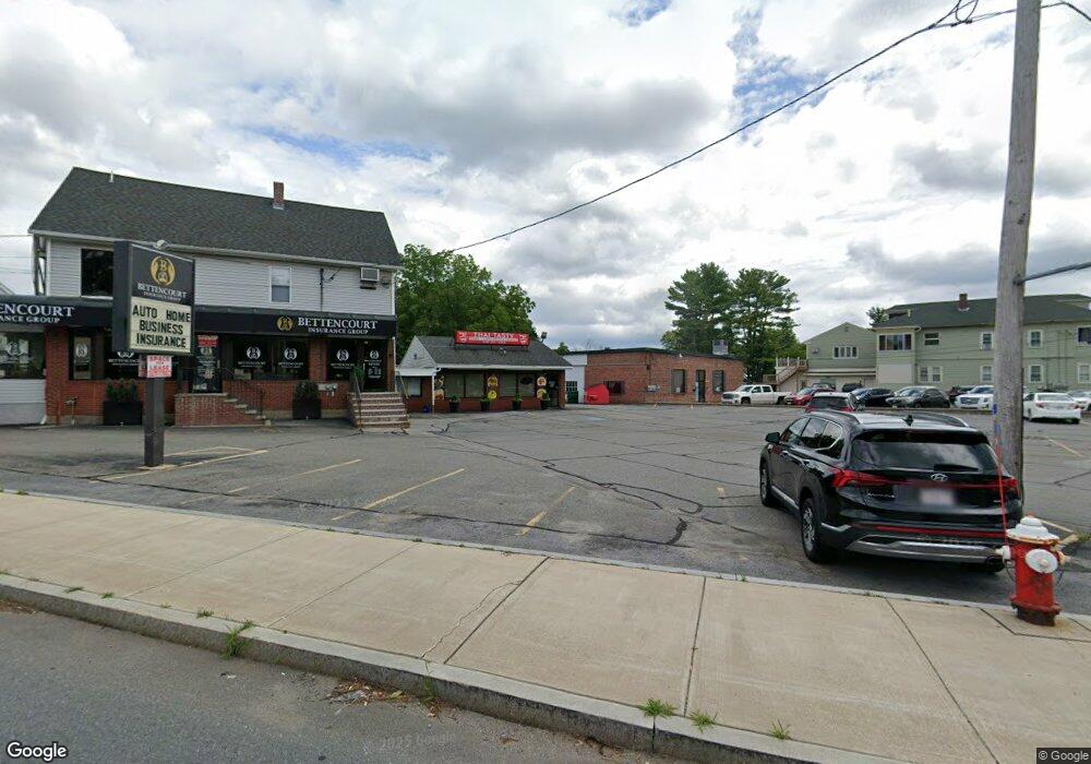
7 Broadway Rd Dracut, MA 01826
Estimated Value: $1,011,325
3
Beds
4
Baths
3,475
Sq Ft
$291/Sq Ft
Est. Value
About This Home
This home is located at 7 Broadway Rd, Dracut, MA 01826 and is currently estimated at $1,011,325, approximately $291 per square foot. 7 Broadway Rd is a home located in Middlesex County with nearby schools including Greenmont Avenue School, Richardson Middle School, and Dracut Senior High School.
Ownership History
Date
Name
Owned For
Owner Type
Purchase Details
Closed on
Apr 16, 1993
Sold by
Magri Sebastian and Magri Antoinette
Bought by
Ryan Kevin P and Ryan Linda
Current Estimated Value
Home Financials for this Owner
Home Financials are based on the most recent Mortgage that was taken out on this home.
Original Mortgage
$70,781
Interest Rate
7.39%
Mortgage Type
Commercial
Create a Home Valuation Report for This Property
The Home Valuation Report is an in-depth analysis detailing your home's value as well as a comparison with similar homes in the area
Home Values in the Area
Average Home Value in this Area
Purchase History
| Date | Buyer | Sale Price | Title Company |
|---|---|---|---|
| Ryan Kevin P | $240,000 | -- |
Source: Public Records
Mortgage History
| Date | Status | Borrower | Loan Amount |
|---|---|---|---|
| Open | Ryan Kevin P | $15,010 | |
| Open | Ryan Kevin P | $252,000 | |
| Closed | Ryan Kevin P | $70,781 | |
| Previous Owner | Ryan Kevin P | $65,000 |
Source: Public Records
Tax History
| Year | Tax Paid | Tax Assessment Tax Assessment Total Assessment is a certain percentage of the fair market value that is determined by local assessors to be the total taxable value of land and additions on the property. | Land | Improvement |
|---|---|---|---|---|
| 2025 | $4,338 | $428,700 | $279,800 | $148,900 |
| 2024 | $4,178 | $399,800 | $266,400 | $133,400 |
| 2023 | $4,150 | $358,400 | $231,700 | $126,700 |
| 2022 | $4,047 | $329,300 | $210,500 | $118,800 |
| 2021 | $4,006 | $307,900 | $191,300 | $116,600 |
| 2020 | $4,034 | $302,200 | $185,600 | $116,600 |
| 2019 | $3,985 | $289,800 | $176,600 | $113,200 |
| 2018 | $0 | $286,500 | $176,600 | $109,900 |
| 2017 | $4,089 | $286,500 | $176,600 | $109,900 |
| 2016 | $4,053 | $273,100 | $169,900 | $103,200 |
| 2015 | $4,077 | $273,100 | $169,900 | $103,200 |
| 2014 | $3,708 | $255,900 | $188,700 | $67,200 |
Source: Public Records
Map
Nearby Homes
- 69 Arlington St
- 10 Lanseigne St
- 40 Arlington Ave
- 54 Montaup Ave
- 700 Robbins Ave Unit 6
- 287 Fox Ave
- 668 Robbins Ave Unit 1
- 175 Willard St Unit 9
- 1391 Bridge St
- 144 Thissell Ave Unit 11
- 4 Hazelwood Ave Unit 12
- 315 Broadway Rd Unit 1
- 315 Broadway Rd Unit 7
- 277 Loon Hill Rd
- 1563 Bridge St
- 1573 Bridge St
- 23 18th St
- 35 Whitney Ave Unit 33
- 345 Hildreth St Unit 14
- 551 Hildreth St Unit 10
- 11 Broadway Rd
- 144 Arlington St
- 198 Arlington St
- 4 Broadway Rd
- 187 Arlington St
- 204 Arlington St
- 143 Arlington St
- 143 Arlington St Unit 143
- 143 Arlington St Unit 1
- 12 Mailloux Terrace
- 138 Arlington St
- 24 Mailloux Terrace
- confidenti Convenience B&w
- 1 Confidential Way
- 32 Mailloux Terrace
- 13 Mailloux Terrace
- 131 Arlington St
- 21 Mailloux Terrace
- 218 Arlington St
- 29 Mailloux Terrace
Your Personal Tour Guide
Ask me questions while you tour the home.